Information
Landmark: Pardines PathwayCity: Encamp
Country: Andorra
Continent: Europe
Pardines Pathway, Encamp, Andorra, Europe
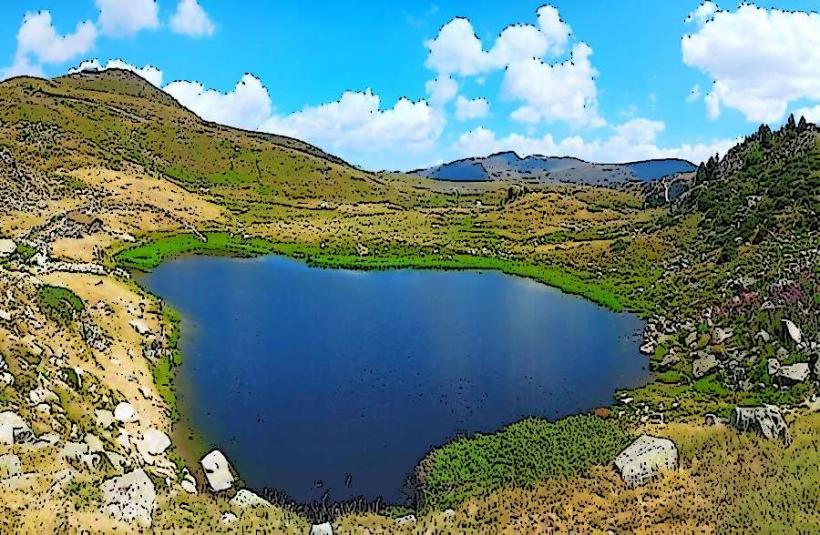
Visual Characteristics
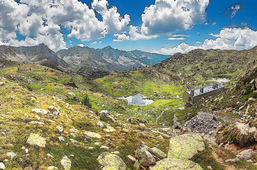
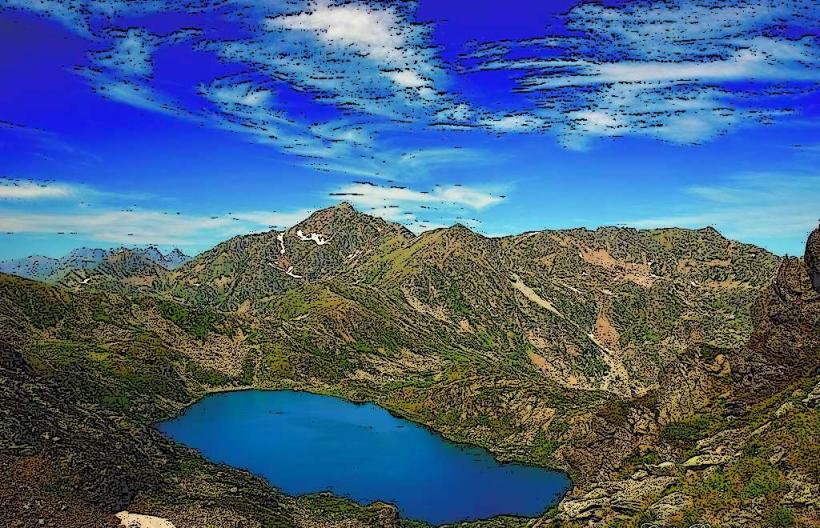
The pathway is primarily composed of compacted earth and gravel, approximately 2 meters wide. It runs alongside the dark blue waters of Engolasters Lake, which is bordered by pine and fir forests. The path itself is unpaved but well-maintained, with minimal elevation changes. Rock formations are visible on the slopes above the lake.
Location & Access Logistics
The Pardines Pathway is situated approximately 3.5 km east of Encamp town center. Access is typically via the CS-200 road, which leads to Engolasters Lake. Parking is available at designated areas near the Engolasters Lake dam or the Sant Miquel d'Engolasters church. Public transport options are limited; a local bus service connects Encamp to Andorra la Vella, but direct bus access to the pathway start point is not common. Private vehicle or taxi is recommended.
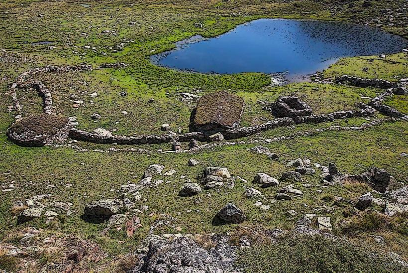
Historical & Ecological Origin
The pathway's origin is linked to the development of the hydroelectric infrastructure around Engolasters Lake, which was dammed in the 1930s to create a reservoir for power generation. The path itself serves as an access route and recreational trail, traversing a subalpine forest ecosystem characterized by coniferous trees and various mountain flora.
Key Highlights & Activities
Walking the entire Pardines Pathway loop around Engolasters Lake is the primary activity. Photography of the lake and mountain scenery is common. Fishing is permitted in Engolasters Lake with a valid license. Picnicking is possible at designated areas along the route.
Infrastructure & Amenities
Restrooms are available near the main parking areas at Engolasters Lake. Limited natural shade is provided by the surrounding trees, but sections of the path are exposed. Cell phone signal (4G/5G) is generally reliable along the pathway. There are a few small restaurants or cafes near the lake's access points, particularly closer to the Sant Miquel d'Engolasters church.
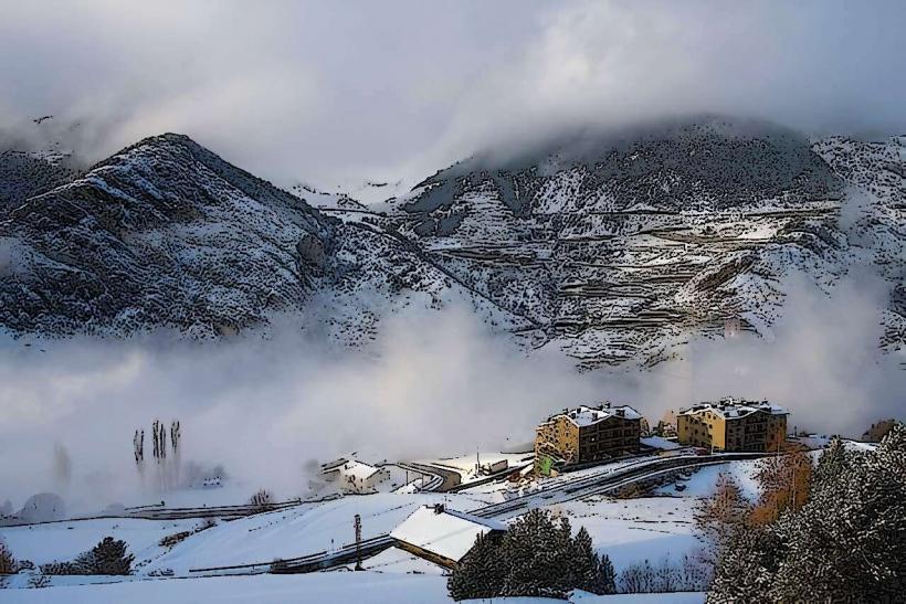
Best Time to Visit
The best months to visit are from May to October, when the path is clear of snow and temperatures are mild. Early morning or late afternoon offers optimal lighting for photography, particularly for capturing reflections on the lake surface. The pathway is generally accessible regardless of specific tide requirements, as it is a lake.
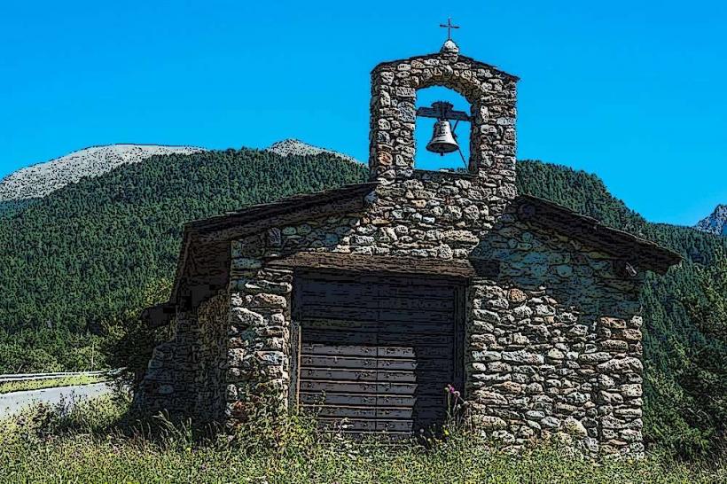
Facts & Legends
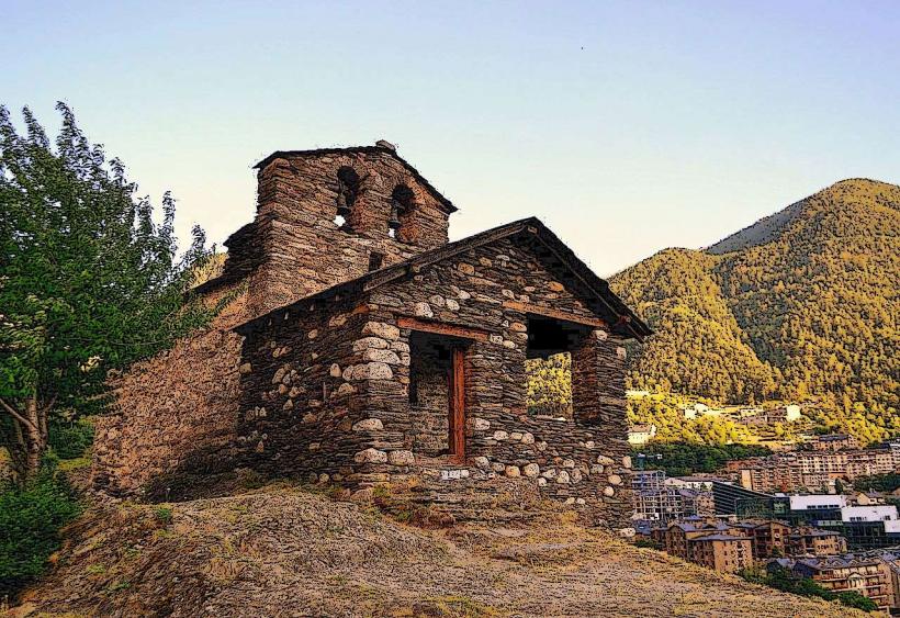
A local legend suggests that the waters of Engolasters Lake possess healing properties due to its high mineral content. A practical tip for visitors is to combine the walk with a visit to the nearby Sant Miquel d'Engolasters church, known for its Romanesque architecture and panoramic views.
Nearby Landmarks
- Sant Miquel d'Engolasters Church: 0.5km West
- Engolasters Lake Dam: 0.2km East
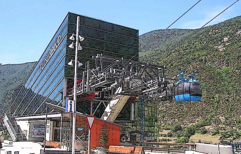
- Funicamp (Encamp cable car station): 3.0km West
- Mirador del Bosc de les Llaus: 1.5km North