Information
Landmark: Parque Natural de Ordesa y Monte PerdidoCity: Zaragoza
Country: Spain
Continent: Europe
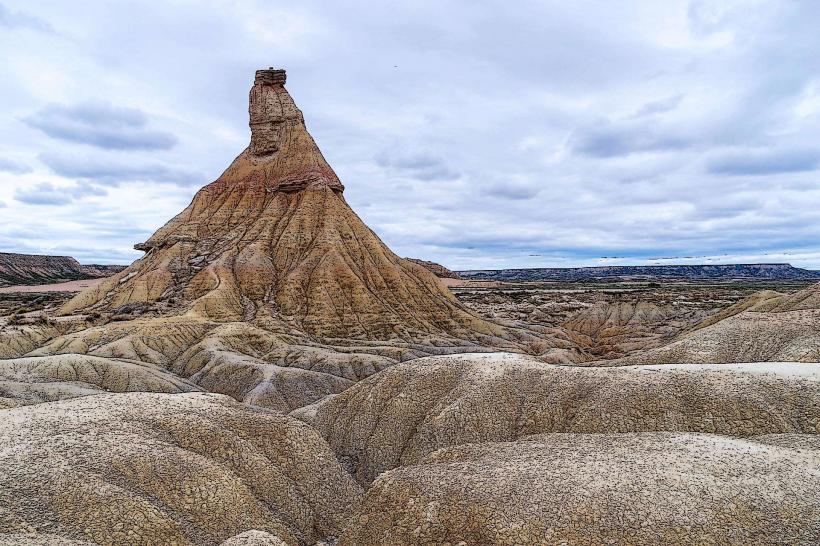
Parque Natural de Ordesa y Monte Perdido, Zaragoza, Spain, Europe
Ordesa y Monte Perdido National Park is located in the province of Huesca, approximately 170 kilometers north of Zaragoza. Established in 1918, it is a UNESCO World Heritage site and represents one of the most significant glacial landscapes in the Pyrenees.
Visual Characteristics
The park is defined by four massive canyons: Ordesa, Añisclo, Escuaín, and Pineta. The central feature is the Monte Perdido massif (3,355m), the highest limestone peak in Europe. The landscape transitions from Mediterranean-influenced valley floors with lush beech and fir forests to high-altitude karst deserts and permanent glaciers. Vertical limestone walls rising over 1,000 meters create a "canyon" morphology unique to this part of the mountain range.
Location & Access Logistics
Primary Access: The town of Torla-Ordesa serves as the main gateway to the Ordesa Valley.
Transport from Zaragoza: A 2-hour and 15-minute drive via the A-23 to Sabiñánigo and then the N-260.
Shuttle Requirement: During peak seasons (Easter, summer, and autumn weekends), private vehicle access to the Ordesa meadow is prohibited. Visitors must use the shuttle bus service departing from the large parking lot in Torla.
Other Entry Points: Access the Añisclo Canyon via Escalona, Escuaín via Tella, and Pineta via Bielsa.
Historical & Ecological Origin
The park protects a high-mountain ecosystem shaped by glacial erosion. It is a critical sanctuary for the Bearded Vulture (Lammergeier), the Pyrenean chamois (sarrio), and the golden eagle. Flora includes the iconic Edelweiss and ancient forests of silver fir. Historically, the area was utilized for transhumance (seasonal livestock movement), which continues in limited capacity.
Key Highlights & Activities
Cola de Caballo (Horsetail Fall): The most popular hiking route, passing through the Soaso Cirque. It is an 18km round trip with moderate difficulty.
Faja de las Flores: A narrow, natural limestone ledge offering aerial views of the canyon; recommended only for experienced hikers.
Senda de los Cazadores: A steep ascent to the Calcilarruego viewpoint, providing the best perspective of the valley’s U-shaped glacial profile.
Góriz Refuge: The primary high-altitude base for climbers attempting to summit Monte Perdido.
Infrastructure & Amenities
Visitor centers are located in Torla, Escalona, and Bielsa. Mountain shelters like Góriz require advanced reservations. Basic services and restrooms are available at the main parking areas, but none exist within the heart of the park. Cellular signal is non-existent in deep canyons and high-altitude zones.
Best Time to Visit
Autumn: Peak season for photography as the beech forests turn vibrant gold and red.
Summer: Necessary for high-altitude trekking and summiting peaks above 3,000m.
Spring: Ideal for observing the massive waterfalls formed by snowmelt.
Facts & Legends
Monte Perdido (Lost Mountain) was given its name by French explorers because it was hidden from view by the surrounding peaks when viewed from the northern side of the border. Local legend tells of the "Encantarias," spirits who live in the mountain's limestone caves and are seen near the rivers at dawn.
Nearby Landmarks
Torla-Ordesa: A medieval stone village. (Adjacent)
Ainsa: A historic walled town designated as one of Spain's most beautiful villages. (40km East)
Bujaruelo Valley: A scenic adjacent valley featuring a Romanesque bridge and fewer crowds. (8km from Torla)
Jaca: Historical city with a 16th-century star-shaped citadel. (50km West)