Information
Landmark: Pedra da Cebola ParkCity: Vitoria
Country: Brazil
Continent: South America
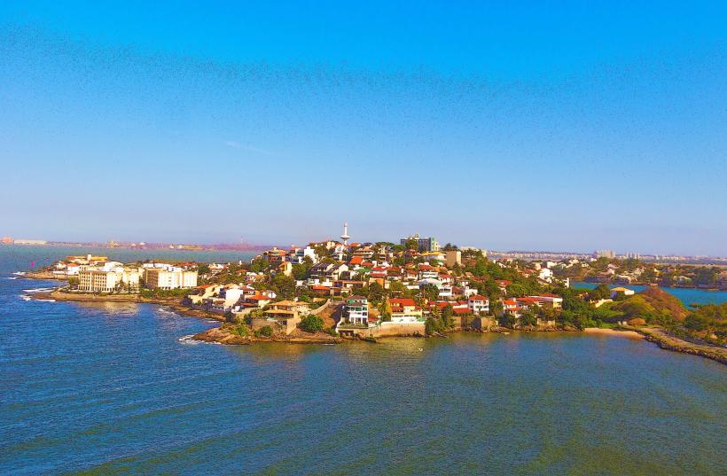
Pedra da Cebola Park, Vitoria, Brazil, South America
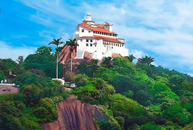
Pedra da Cebola Park is a public urban park located in the city of Vitoria, Espirito Santo, Brazil.
This park features a large, distinct rock formation resembling an onion, which gives the park its name.
Visual Characteristics
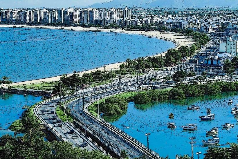
The park's primary visual element is the large, weathered granite rock formation, known as Pedra da Cebola. The rock exhibits layered striations and a rough, textured surface. Surrounding the rock are areas of dense Atlantic Forest vegetation, including various tree species and undergrowth. The terrain within the park is uneven, with some paved pathways and natural dirt trails. The park is situated at an elevation that offers views of the surrounding urban landscape and Guanabara Bay.
Location & Access Logistics
Pedra da Cebola Park is situated in the Bento Ferreira neighborhood of Vitoria. It is approximately 5 kilometers west of the city center. Access is via Avenida Nossa Senhora dos Navegantes and then turning onto Rua Professor Fernando Duarte. Parking is available within designated areas inside the park, with capacity for approximately 50 vehicles. Public transport options include bus lines 103, 164, and 501, which stop at the park's entrance on Rua Professor Fernando Duarte.
Historical & Ecological Origin
The Pedra da Cebola rock formation is a geological feature of the Brazilian Shield, formed by the erosion of granite over millions of years. The park itself was established in 1972 as a protected area to preserve this natural landmark and the surrounding Atlantic Forest ecosystem. The Atlantic Forest is a biodiversity hotspot, characterized by high levels of endemism.
Key Highlights & Activities
Visitors can observe the Pedra da Cebola rock formation. Hiking is permitted on marked trails throughout the park. Photography of the rock and the forest environment is a common activity. The park offers open spaces for passive recreation.
Infrastructure & Amenities
Restrooms are available near the main entrance. Shaded areas are provided by the natural tree canopy and some strategically placed benches. Cell phone signal (4G) is generally available within the park. There are no on-site food vendors; however, commercial establishments are located outside the park perimeter along nearby avenues.
Best Time to Visit
The best time of day for photography of the rock formation is in the late afternoon, when the sun's angle creates shadows that highlight the rock's texture. The months of April to September offer drier weather conditions. There are no tidal considerations for visiting this park.
Facts & Legends
Local folklore suggests that the rock formation has healing properties, with some residents believing that touching the stone can alleviate ailments. Geologically, the "onion" effect is due to exfoliation, where layers of rock peel away like the skin of an onion.
Nearby Landmarks
- Parque Moscoso (1.2km Northeast)
- Estádio Estadual Kleber Andrade (2.5km West)
- Praia da Camburi (3.0km Southeast)
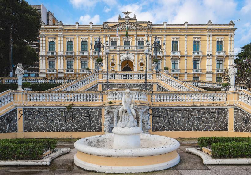
- Museu de Arte do Espirito Santo (3.5km East)
- Convento da Penha (8.0km Southwest - outside 5km radius but significant)