Information
Landmark: Penobscot BayCity: Castine
Country: USA Maine
Continent: North America
Penobscot Bay, Castine, USA Maine, North America
Penobscot Bay is a large tidal estuary located on the coast of Maine, USA. It is situated between the Penobscot River and the Atlantic Ocean.
Visual Characteristics
The bay features a complex coastline with numerous islands, peninsulas, and inlets. Water color varies from deep blue to greenish depending on depth and sediment load. Shorelines are characterized by rocky outcrops, gravel beaches, and areas of dense coniferous and deciduous forestation.
Location & Access Logistics
Penobscot Bay is accessible via U.S. Route 1, which runs along its western edge. The town of Castine is located on the eastern side of the bay. Access to islands within the bay is primarily by ferry or private boat. Public ferry services operate from Rockland and Lincolnville. Parking is available in coastal towns like Castine and Rockland, with fees often applicable during peak season.
Historical & Ecological Origin
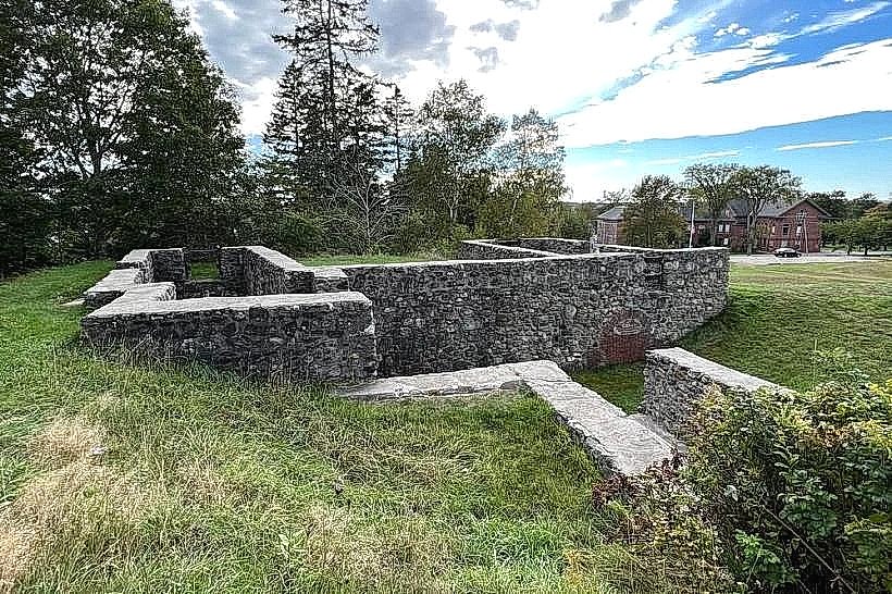
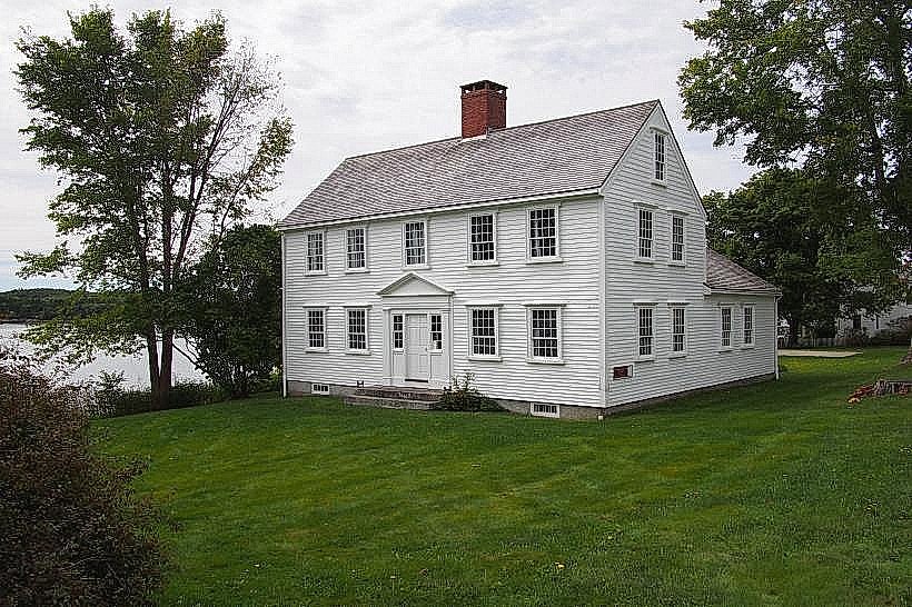
Penobscot Bay was shaped by glacial activity during the last Ice Age, with the retreat of glaciers leaving behind the current fjord-like landscape. Historically, it served as a significant waterway for indigenous peoples and later for European settlers involved in fishing, shipbuilding, and trade.
Key Highlights & Activities
Sailing and boating are primary activities. Kayaking and paddleboarding are possible in sheltered coves. Birdwatching is common, particularly for seabirds and migratory species. Fishing charters are available from several harbor towns.
Infrastructure & Amenities
Restrooms and food vendors are located in the larger coastal towns bordering the bay, such as Rockland, Camden, and Castine. Cell phone signal (4G/5G) is generally available in populated areas but can be intermittent on islands and offshore. Shade is provided by natural tree cover along shorelines and in parks.
Best Time to Visit
The best months for visiting are June through September, offering the most stable weather conditions. Mid-morning to late afternoon provides optimal light for general observation. Tidal charts should be consulted for specific boating or intertidal exploration activities.
Facts & Legends
The bay is known for its significant tidal range, which can exceed 18 feet. Local lore includes tales of shipwrecks and maritime mysteries attributed to the bay's challenging currents and fog.
Nearby Landmarks
- Fort Knox State Historic Site (10km Northwest)
- Camden Hills State Park (15km Southwest)
- Monhegan Island (30km Southeast, accessible by ferry)
- Acadia National Park (60km Northeast)
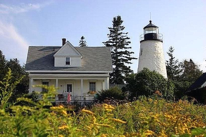
- Owls Head Lighthouse (18km Southwest)