Information
Landmark: PerquínCity: Morazan
Country: El Salvador
Continent: North America
Perquín, Morazan, El Salvador, North America
Perquín is a municipality located in the Morazán department of El Salvador. It is recognized for its historical significance related to the Salvadoran Civil War.
Visual Characteristics
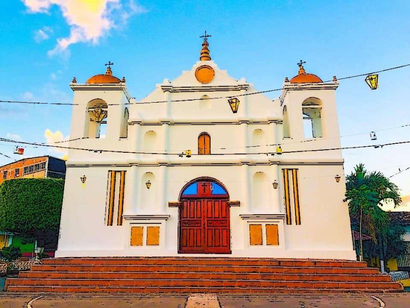
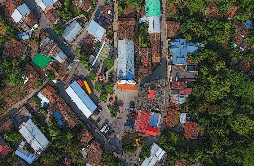
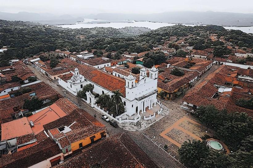
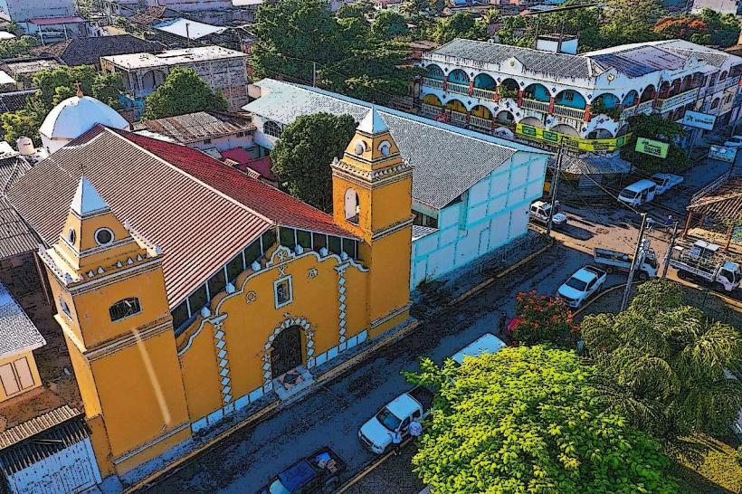
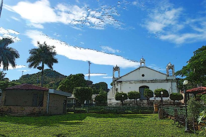
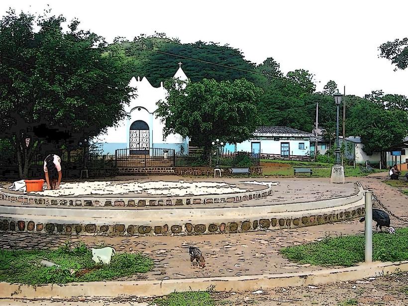
The town of Perquín is characterized by its modest architecture, primarily consisting of concrete and tin-roofed structures. The surrounding landscape is hilly and covered with dense vegetation, typical of the montane forests of eastern El Salvador. The elevation contributes to a cooler climate compared to coastal regions.
Location & Access Logistics
Perquín is situated approximately 200 kilometers northeast of San Salvador. Access is primarily via the CA-1 East highway, transitioning to local roads. From San Miguel, the nearest major city, it is approximately a 1.5-hour drive. Public transportation options include intercity buses that run from San Salvador and San Miguel to Perquín. Parking is available in designated areas within the town, though it can be limited during peak times.
Historical & Ecological Origin
Perquín gained prominence during the Salvadoran Civil War (1979-1992) as a strategic stronghold for the Farabundo Martí National Liberation Front (FMLN). The town and its surrounding caves served as a key command center and refuge. Ecologically, the region is part of the Mesoamerican pine-oak forests ecoregion, characterized by its biodiversity and elevation-dependent climate.
Key Highlights & Activities
Visitors can explore the Museo de la Revolución, which details the history of the civil war with artifacts and exhibits. The nearby caves, such as the Cueva del Ermitaño, offer insight into the wartime operations. Hiking trails in the surrounding hills provide opportunities for observing local flora and fauna. Local artisans sell crafts, including wood carvings and textiles.
Infrastructure & Amenities
Basic amenities are available in Perquín, including small restaurants and shops selling local goods. Restrooms are generally available at the museum and some eateries. Cell phone signal (primarily 2G/3G) can be inconsistent in the more remote areas surrounding the town. Shade is available in forested areas and under structures in town.
Best Time to Visit
The dry season, from November to April, offers the most favorable weather conditions for visiting Perquín, with less rainfall and clearer skies. The best time of day for photography, capturing the natural light on the landscape, is generally in the morning or late afternoon. There are no specific tide requirements for visiting Perquín.
Facts & Legends
A notable historical oddity is the extensive network of tunnels and caves used by the FMLN, some of which were large enough to house entire operational units. Local legends speak of hidden caches of supplies and secret escape routes within the cave systems, though their exact locations remain largely unconfirmed.
Nearby Landmarks
- Cerro El Pericón: 8km Southwest (Hiking and panoramic views)
- Río Sapo: 4km East (Natural swimming areas)
- San Miguel: 50km Southeast (Major city with historical sites and markets)
- Parque Nacional Montecristo: 60km Northwest (Cloud forest reserve)