Information
Landmark: Pico Duarte TrekkingCity: Jarabacoa
Country: Dominican Republic
Continent: North America
Pico Duarte Trekking, Jarabacoa, Dominican Republic, North America
The Pico Duarte Trekking experience involves ascending the highest peak in the Caribbean, located within the Armando Bermúdez National Park, accessible primarily from Jarabacoa, Dominican Republic.
Visual Characteristics
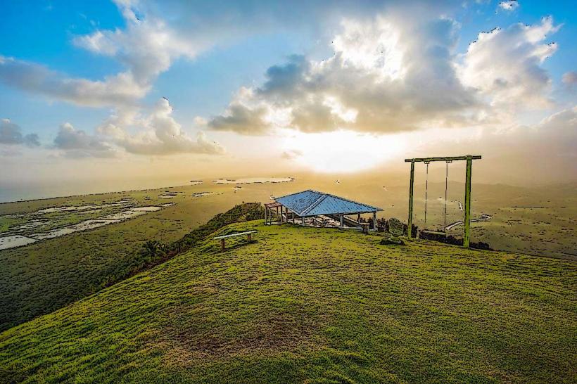
The trek traverses diverse ecosystems, beginning with subtropical broadleaf forests at lower elevations, transitioning into pine forests (Pinus occidentalis) and cloud forests at higher altitudes. The summit of Pico Duarte (3,098 meters) is characterized by sparse vegetation, exposed rock, and a cooler, often misty climate. The trails are primarily dirt paths, often rocky and steep, with sections that can be muddy during wet periods. Views from higher elevations include expansive mountain ranges and valleys.
Location & Access Logistics
The primary access point for Pico Duarte treks is from Jarabacoa, located approximately 150km northwest of Santo Domingo. The most common trailhead is La Ciénaga, situated about 25km from Jarabacoa, accessible via a paved road that transitions to a rougher track. Parking is available at the trailhead. Public transport to La Ciénaga is limited; private taxis or pre-arranged transport are typically used. All treks require a registered guide and a permit from the Ministry of Environment, usually arranged through tour operators in Jarabacoa. Another trailhead, Los Corrales, is less frequently used due to its longer and more challenging approach.
Historical & Ecological Origin
Pico Duarte is part of the Cordillera Central mountain range, formed by tectonic plate activity. It is composed primarily of volcanic and metamorphic rocks. The peak was originally named Pico La Pelona, then Pico Trujillo during the Trujillo dictatorship, before being renamed in honor of Juan Pablo Duarte, a founding father of the Dominican Republic. The surrounding Armando Bermúdez National Park, established in 1956, protects a critical watershed and unique high-altitude ecosystems, including cloud forests and Hispaniolan pine forests, which are vital for endemic flora and fauna.
Key Highlights & Activities
The primary activity is multi-day trekking to the summit of Pico Duarte, typically lasting 2-4 days depending on the chosen route. Camping is permitted at designated ranger stations along the trails, such as La Compartición and Valle del Tetero. Wildlife observation includes various bird species, such as the Hispaniolan trogon and palmchat. Photography opportunities are abundant, particularly at sunrise from higher elevations. Guided tours are mandatory and include porters for gear and food.
Infrastructure & Amenities
Basic ranger stations are located at key points along the main trekking routes (e.g., La Ciénaga, La Compartición, Valle del Tetero). These stations offer rudimentary shelters, pit latrines, and access to natural water sources (which should be filtered or treated). There is no electricity or cell phone signal (4G/5G) beyond the initial sections of the trail. No food vendors are present on the trails; all food and supplies must be carried in. Shade is available in forested sections but limited on exposed ridges and at the summit.
Best Time to Visit
The best time to visit for trekking is during the dry season, from December to April, when rainfall is minimal and trail conditions are generally better. Temperatures at the summit can drop below freezing at night, even during the dry season. Early morning starts are recommended to maximize daylight for trekking and to reach viewpoints before afternoon cloud cover. The wet season (May-November) brings increased rainfall, making trails muddy and river crossings more challenging.
Facts & Legends
At the summit of Pico Duarte, a bronze bust of Juan Pablo Duarte stands atop a stone pedestal. The trek is considered one of the most challenging in the Caribbean due to its elevation gain and multi-day duration. Trekkers often experience significant temperature fluctuations, from warm tropical conditions at the base to near-freezing temperatures at the summit. The peak is sometimes covered in frost during winter months.
Nearby Landmarks
- Jarabacoa Town: 25km South
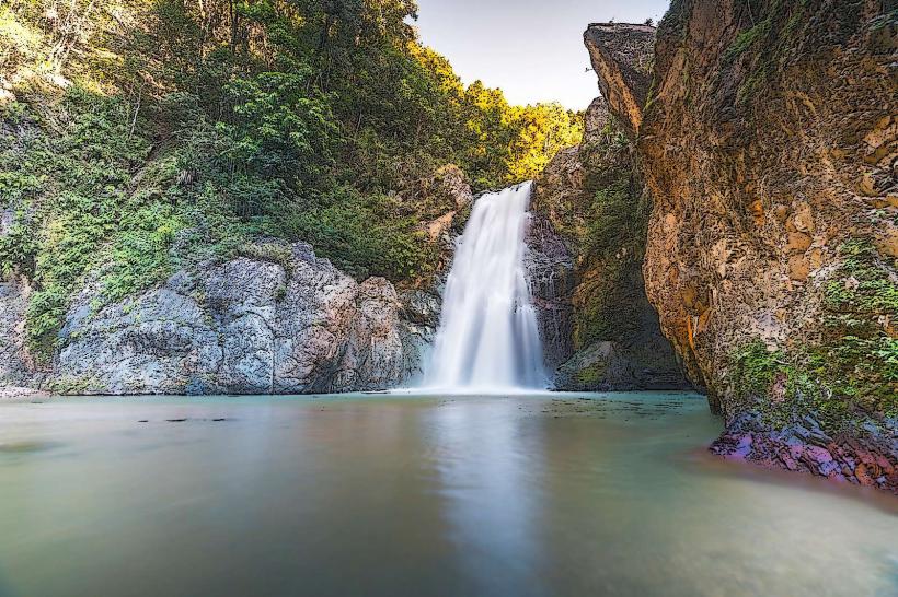
- Salto de Jimenoa: 28km South-Southeast
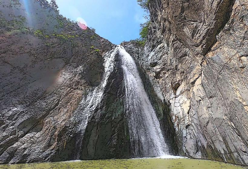
- Salto Baiguate: 30km South-Southeast
- Valle del Tetero (Trekking Camp): 10km West (along the trekking route)
- La Compartición (Trekking Camp): 5km West (along the trekking route)