Information
Landmark: Praia da JoaquinaCity: Florianopolis
Country: Brazil
Continent: South America
Praia da Joaquina, Florianopolis, Brazil, South America
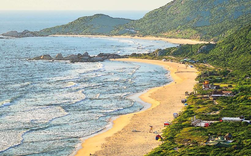
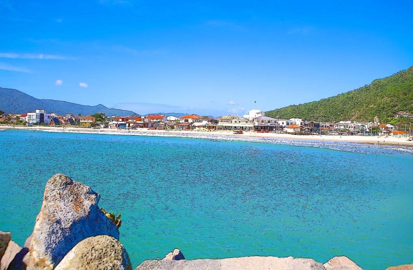
Praia da Joaquina is a beach located on the eastern coast of Santa Catarina Island, within the municipality of Florianópolis, Brazil.
This coastal area is characterized by its wide expanse of fine, white sand and consistent wave patterns.
Visual Characteristics
The beach features a 300-meter wide strip of light-colored, fine-grained sand. The water is typically clear with a greenish-blue hue. Dunes, some reaching up to 15 meters in height, are present behind the main beach area, covered in sparse vegetation.
Location & Access Logistics
Praia da Joaquina is situated approximately 15 kilometers east of Florianópolis's city center. Access is via SC-406, a paved state highway. Parking is available in a large, unpaved lot adjacent to the beach, which can accommodate several hundred vehicles. Public transport is served by bus line 500, which runs from the city center to the beach.
Historical & Ecological Origin
The beach is a natural formation, part of the coastal geomorphology of Santa Catarina Island. The dunes are a result of aeolian processes, shaped by wind action over millennia, and are a significant ecological feature supporting specific plant and animal life.
Key Highlights & Activities
Surfing is a primary activity due to consistent wave conditions. Sandboarding is possible on the larger dunes. Swimming is permitted in designated areas. Fishing from the shore is also practiced.
Infrastructure & Amenities
Restrooms are available near the parking area. Shade is limited to natural vegetation on the dunes and structures provided by temporary vendors. Cell phone signal (4G) is generally reliable. Food vendors and small kiosks operate during peak season, offering snacks and beverages.
Best Time to Visit
For photography, early morning (7:00 AM - 9:00 AM) and late afternoon (4:00 PM - 6:00 PM) offer favorable lighting conditions. The months of December through March provide the warmest weather. Wave conditions are generally consistent year-round, but larger swells are more common during autumn and winter (March-August).
Facts & Legends
The beach is named after a legendary figure, Joaquina, who is said to have been a local fisherwoman. One local account suggests she would pray for good catches, and her devotion is linked to the beach's consistent fishing success.
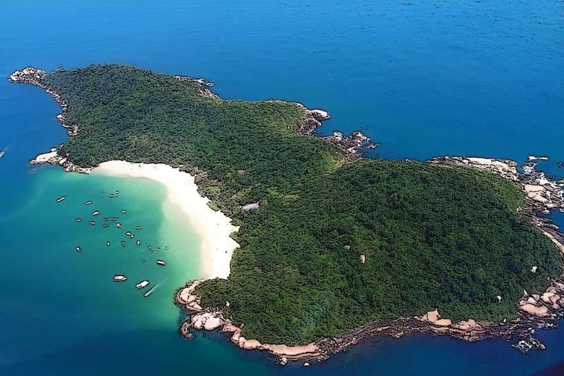
Nearby Landmarks
- Praia do Mole (0.8km West)
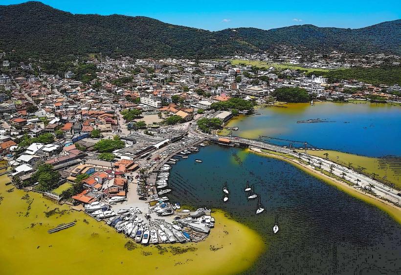
- Lagoa da Conceição (2.5km Southwest)
- Farol da Barra da Lagoa (3.1km Northeast)
- Praia da Galheta (3.5km East)
- Dunas da Joaquina (0.2km West)