Information
Landmark: Puente Internacional de la AmistadCity: Ciudad del Este
Country: Paraguay
Continent: South America
Puente Internacional de la Amistad, Ciudad del Este, Paraguay, South America
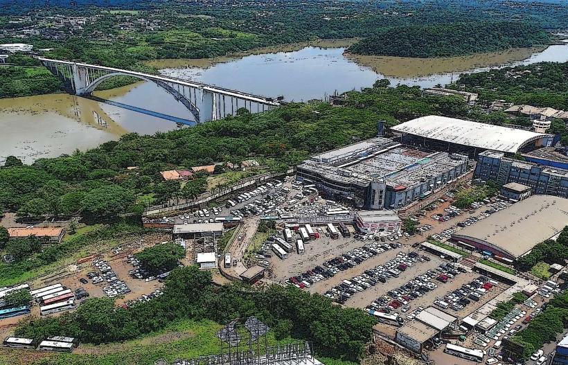
The Puente Internacional de la Amistad is a steel arch bridge spanning the Paraná River, connecting Ciudad del Este, Paraguay, with Foz do Iguaçu, Brazil.
This structure serves as a primary transportation link between the two South American nations.
Visual Characteristics
The bridge is constructed from steel, featuring a prominent arch design. Its deck is approximately 12 meters wide, supporting two lanes of vehicular traffic and pedestrian walkways on either side. The total length of the bridge is 552 meters, with a main span of 300 meters. The steel structure is painted a consistent grey color.
Location & Access Logistics
The bridge is situated 2 kilometers west of the Ciudad del Este city center. Access is via Avenida Generalísimo Franco, which directly connects to the Paraguayan side of the bridge. On the Brazilian side, it connects to Avenida General San Martín. Parking is available in designated lots on both the Paraguayan and Brazilian sides, though it can be congested during peak hours. Public transport includes numerous intercity bus lines that cross the border, as well as local taxis and ride-sharing services.
Historical & Ecological Origin
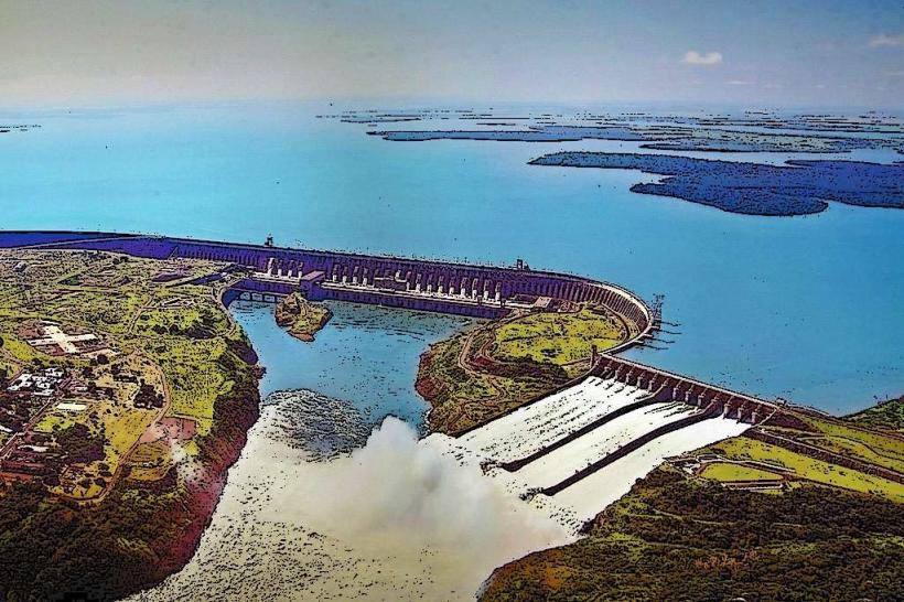
Construction of the Puente Internacional de la Amistad began in 1956 and was completed in 1965. It was designed by the Brazilian engineering firm Companhia Brasileira de Projetos e Obras (CBPO). The bridge was built to facilitate trade and improve transportation infrastructure between Paraguay and Brazil, replacing an older ferry system. The Paraná River is a major tributary of the Paraguay River, and its flow is influenced by the Itaipu Dam located upstream.
Key Highlights & Activities
Pedestrian access is permitted on the designated walkways, allowing for views of the river and surrounding landscape. Vehicle traffic is the primary function. Observation points are available at either end of the bridge for photography. No specific activities are organized on the bridge itself.
Infrastructure & Amenities
Restrooms are available at the border control facilities on both the Paraguayan and Brazilian sides. Shade is limited to the pedestrian walkways. Cell phone signal (4G/5G) is generally available from both countries. Food vendors and small shops are located in the immediate vicinity of the bridge entrances on both sides.
Best Time to Visit
For photography, early morning or late afternoon provides optimal lighting conditions with less direct glare. The best months for weather are typically from March to May and September to November, offering milder temperatures. High tide or low tide does not significantly impact access or views from the bridge.
Facts & Legends
The bridge's construction was a significant undertaking, involving international cooperation. A lesser-known fact is that the bridge's design was influenced by the need to accommodate potential future expansion of river traffic. Local folklore sometimes refers to the bridge as a symbol of enduring friendship, though this is more of a sentiment than a specific legend.
Nearby Landmarks
- Itaipu Dam (10km Northwest)
- Parque das Aves (Foz do Iguaçu) (3km East)
- Marco das Três Fronteiras (Foz do Iguaçu) (4km Southeast)
- Shopping China (Ciudad del Este) (1.5km West)
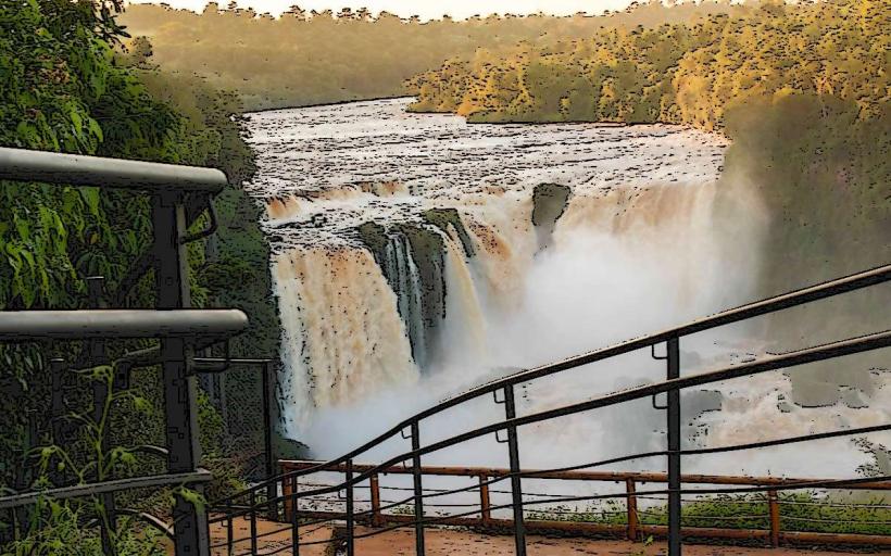
- Cataratas del Iguazú (Argentinian side) (15km Southwest)