Information
Landmark: Rama CayCity: Bluefields
Country: Nicaragua
Continent: North America
Rama Cay, Bluefields, Nicaragua, North America
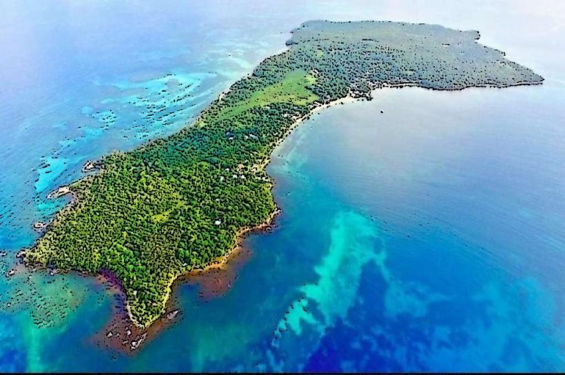
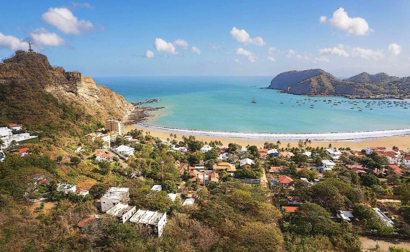
Rama Cay is a small island located in the Bluefields-bay_bluefields" class="underline">Bluefields Bay, off the coast of Bluefields, Nicaragua.
This island serves as a significant cultural and historical site for the Miskito people.
Visual Characteristics
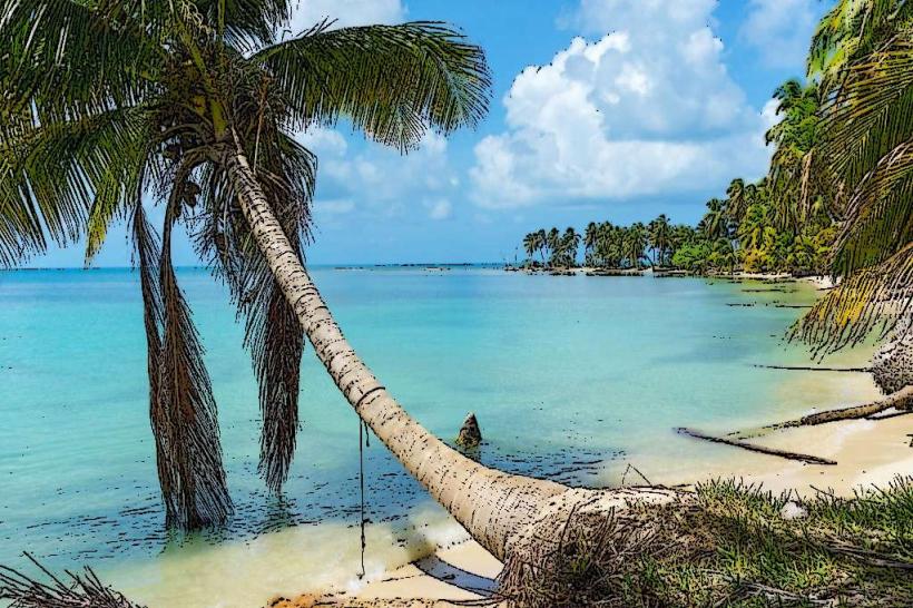
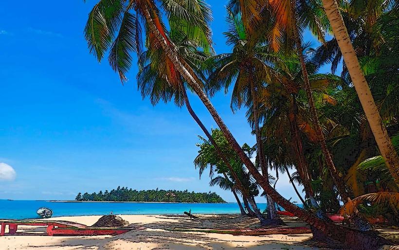
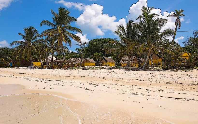
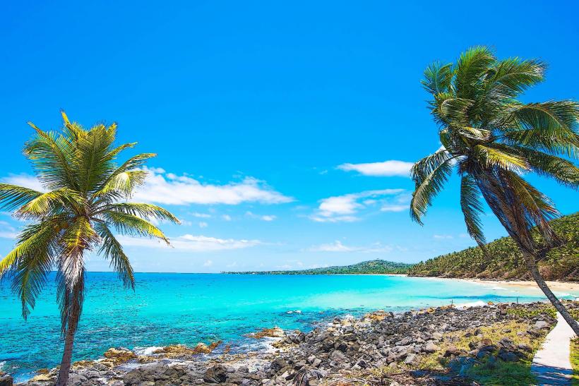
Rama Cay is characterized by its dense tropical vegetation, primarily palm trees and various shrubs, covering its landmass. The island's shoreline consists of sandy beaches interspersed with areas of exposed coral rock. The water surrounding the cay is typically clear, with a turquoise hue.
Location & Access Logistics
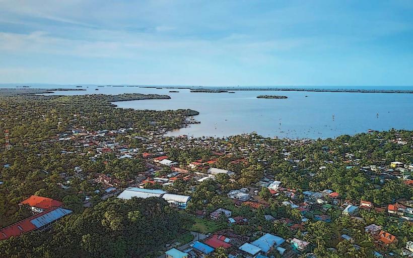
Rama Cay is situated approximately 5 kilometers southeast of the city of Bluefields. Access is exclusively by boat. Local boat operators offer transport services from the Bluefields municipal dock. The journey takes approximately 20-30 minutes, depending on sea conditions. There is no dedicated parking on the island; boats anchor offshore or dock at a small, rudimentary pier.
Historical & Ecological Origin
The island's origin is geological, formed from coral reef buildup over time. Historically, Rama Cay has been inhabited by the Miskito people for centuries, serving as a vital settlement and a strategic point for fishing and trade. It holds significant cultural importance as a center for Miskito traditions and language.
Key Highlights & Activities
Visitors can explore the island's Miskito village, observing daily life and traditional housing. Cultural presentations, including music and dance, are sometimes available upon prior arrangement. Swimming and sunbathing are possible on the accessible beach areas. Fishing excursions can be arranged with local guides.
Infrastructure & Amenities
Basic amenities are present within the Miskito village, including small food stalls selling local snacks and drinks. Restrooms are rudimentary and may not be consistently available. Shade is provided by natural tree cover. Cell phone signal is generally weak to non-existent on the island.
Best Time to Visit
The best time of day for photography is during the morning hours (8:00 AM - 11:00 AM) when the sunlight is direct and the water clarity is optimal. The dry season, from December to April, offers the most favorable weather conditions with less rainfall. High tide is generally preferred for easier boat access to the shore.
Facts & Legends
A local legend speaks of a guardian spirit residing in the island's largest ceiba tree, protecting the Miskito people. It is also known that the island was a significant trading post for the Miskito Kingdom during the colonial era.
Nearby Landmarks
- Bluefields Municipal Dock (5km Northwest)
- Monkey Island (Isla Mono) (7km West)
- Punta Gorda (15km South)
- Pearl Lagoon (Laguna de Perlas) (20km North)