Information
Landmark: Rye BeachCity: Southern NH
Country: USA New Hampshire
Continent: North America
Rye Beach, Southern NH, USA New Hampshire, North America
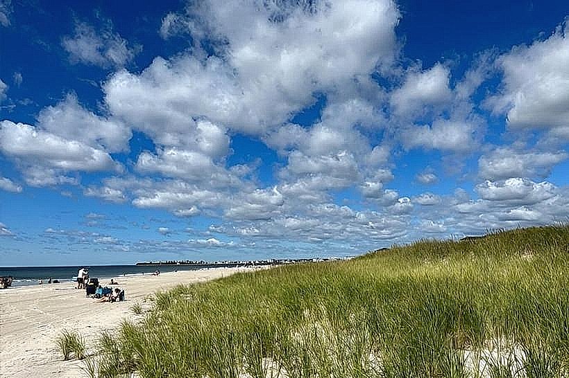
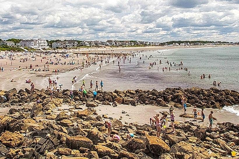
Rye Beach is a public access point to the Atlantic Ocean located in Rye, New Hampshire, USA.
It is a section of coastline characterized by its sandy shores and proximity to coastal ecosystems.
Visual Characteristics
The beach consists of fine-grained sand. The water color varies with weather conditions, typically appearing grey-blue to green. Coastal vegetation, primarily dune grass and low-lying shrubs, is present behind the primary sand area. The shoreline extends for approximately 1.5 kilometers.
Location & Access Logistics
Rye Beach is situated 16 kilometers east of Manchester, New Hampshire. Access is via New Hampshire Route 1A (Ocean Boulevard). Parking is available in designated lots along Ocean Boulevard, with fees typically enforced during peak season (May 15 - October 15). Public transport options are limited; the closest bus route stops approximately 3 kilometers west of the beach in the town of Rye.
Historical & Ecological Origin
Rye Beach is a natural coastal feature formed by the deposition of sand and sediment over millennia, influenced by Atlantic Ocean currents and wave action. It is part of the broader New England coastal plain ecosystem.
Key Highlights & Activities
Activities include sunbathing, swimming, and beachcombing. The adjacent waters are suitable for wading. Designated areas permit surf fishing. Access to tide pools is possible during low tide periods.
Infrastructure & Amenities
Restrooms are available in a small facility located near the main parking area. Limited shade is provided by natural vegetation. Cell phone signal (4G/5G) is generally consistent. No on-site food vendors are present; nearest facilities are located in the town of Rye, approximately 2 kilometers inland.
Best Time to Visit
For photography, early morning (sunrise) and late afternoon (pre-sunset) offer optimal lighting conditions. The months of June through September provide the warmest air and water temperatures. High tide is generally preferred for swimming and wading.
Facts & Legends
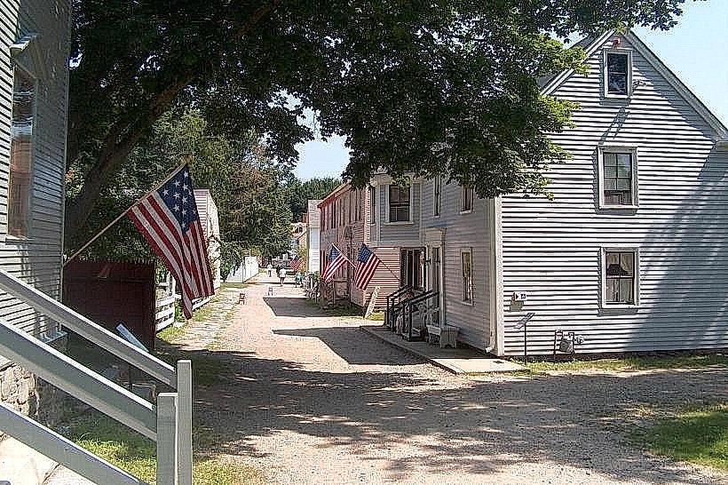
A local historical note: The area was a popular destination for Boston residents seeking respite from urban heat in the late 19th and early 20th centuries, with early automobile access contributing to its popularity.
Nearby Landmarks
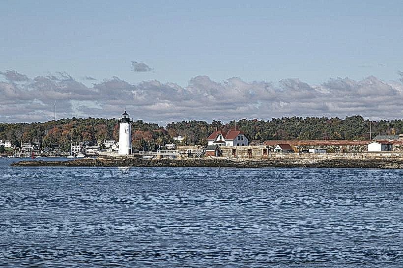
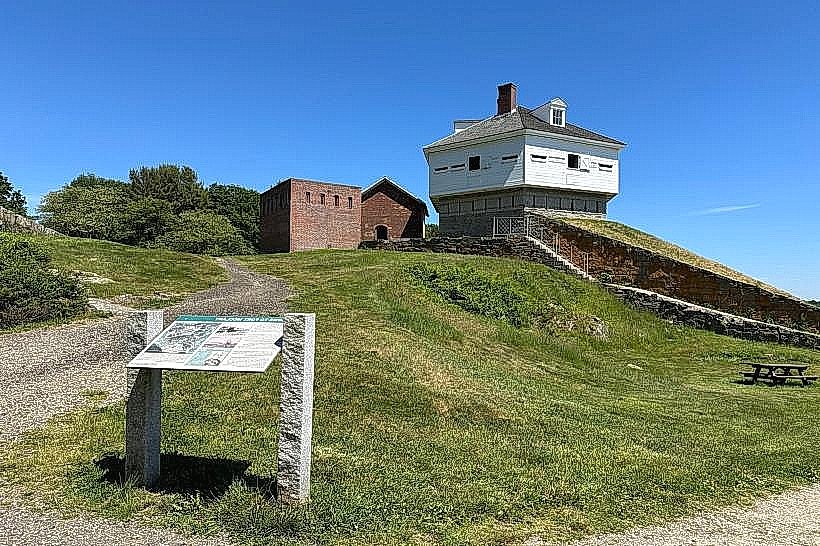
- Fort Constitution State Historic Site (4.2km North)
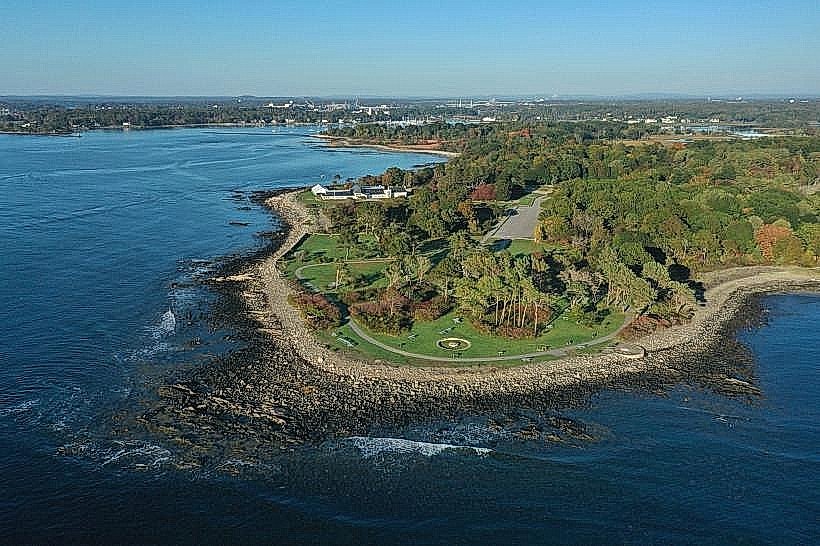
- Odiorne Point State Park (1.8km North)
- New Castle Island (5.0km North)
- Great Island Common (0.8km South)