Information
Landmark: Sa ForadadaCity: Deia
Country: Balearic Islands
Continent: Europe
Sa Foradada, Deia, Balearic Islands, Europe
Sa Foradada is a distinctive rocky peninsula located on the northwest coast of Mallorca, near the village of Deià.
Visual Characteristics
The peninsula is characterized by a prominent rock arch, approximately 15 meters high and 10 meters wide, through which the sea passes. The rock itself is composed of limestone, exhibiting a greyish-brown hue. The coastline is rugged, with steep cliffs dropping to the Mediterranean Sea. Vegetation is sparse, consisting mainly of low-lying scrub and Mediterranean pines clinging to the rocky terrain.
Location & Access Logistics
Sa Foradada is situated approximately 3 kilometers west of Deià. Access is via a narrow, unpaved track that branches off the MA-10 road. This track is approximately 1.5 kilometers long and is suitable for passenger vehicles, though it can be uneven. Parking is available at the end of the track, with capacity for approximately 10-15 vehicles. There are no public transport services directly to Sa Foradada; visitors typically arrive by private vehicle or taxi from Deià. A short walk of about 500 meters is required from the parking area to reach the viewpoint overlooking the arch.
Historical & Ecological Origin
Sa Foradada is a natural geological formation, sculpted by marine erosion over millennia. The arch is a result of wave action and weathering on the limestone bedrock. Ecologically, it is part of the Mediterranean coastal scrub biome.
Key Highlights & Activities
The primary activity is observing the rock arch and the sea passing through it. Photography is a common pursuit, particularly during sunrise and sunset. Hiking along the coastal paths in the vicinity offers views of the surrounding coastline. Swimming is possible from the rocky shore below the viewpoint, but requires careful descent and awareness of sea conditions.
Infrastructure & Amenities
There are no permanent structures or amenities at Sa Foradada itself. Restrooms are not available. Shade is limited to natural shade provided by sparse vegetation. Cell phone signal (4G/5G) is generally available in the area. There are no food vendors directly at Sa Foradada; visitors typically bring their own provisions or dine in Deià.
Best Time to Visit
For photography, the hours around sunrise and sunset provide optimal lighting conditions. The best months for visiting are from April to October, when the weather is generally dry and warm. Sea conditions can vary; calm seas are preferable for any water activities. There are no specific tide requirements for viewing the arch.
Facts & Legends
Local lore suggests that the arch was once used by smugglers to transport goods discreetly. A specific tip for visitors is to wear sturdy footwear due to the uneven terrain and rocky paths.
Nearby Landmarks
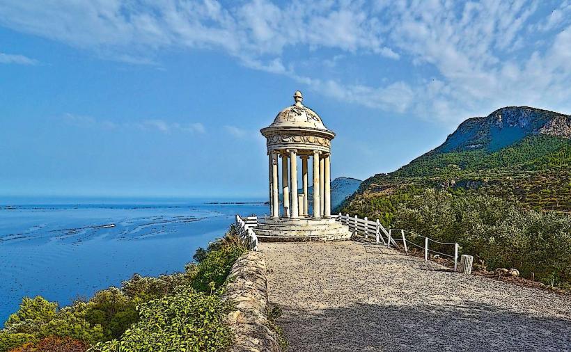
- Mirador de Sa Foradada: 0.1km North (Viewpoint)
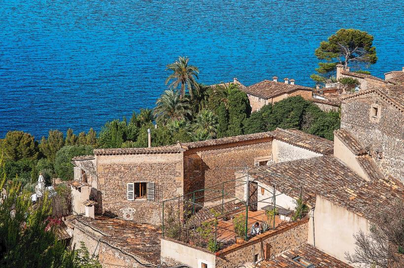
- Deià Village: 3km East (Historic village)
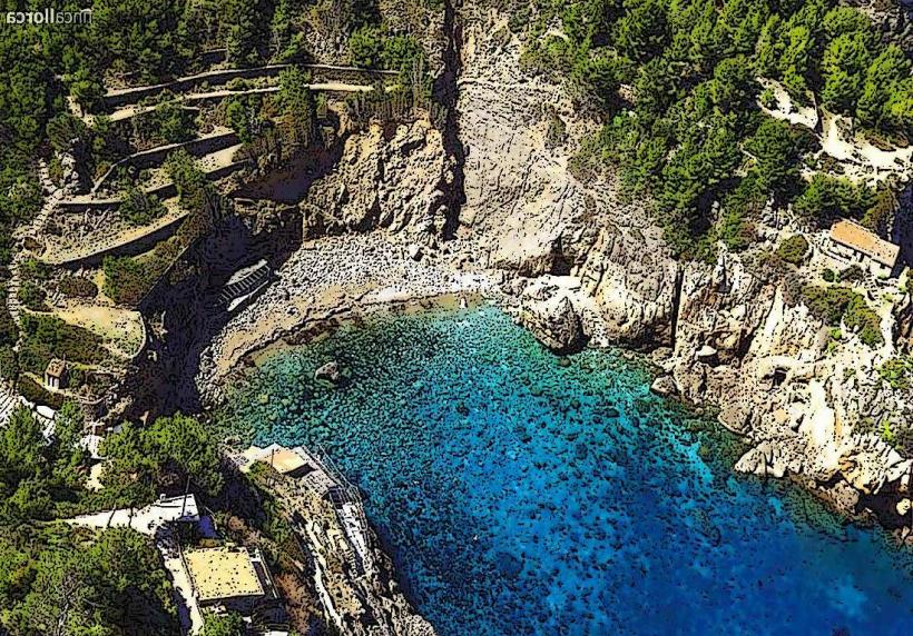
- Cala Deià: 2.5km North (Small cove)
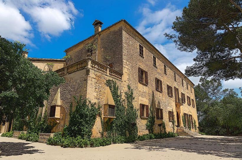
- Finca Son Mico: 1.8km East (Rural estate)
- Serra de Tramuntana: Adjacent (Mountain range)