Information
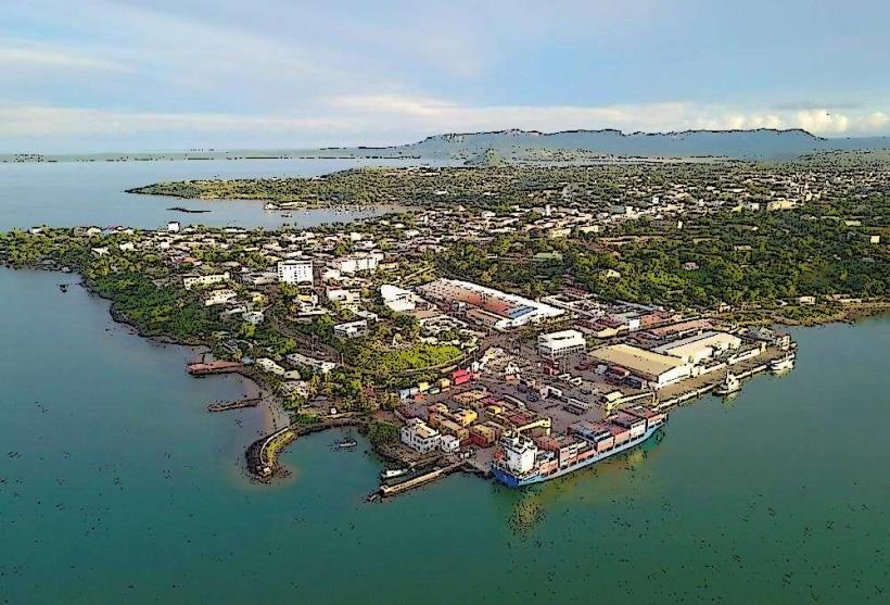
Landmark: Sakalava BayCity: Antsiranana
Country: Madagascar
Continent: Africa
Sakalava Bay, Antsiranana, Madagascar, Africa
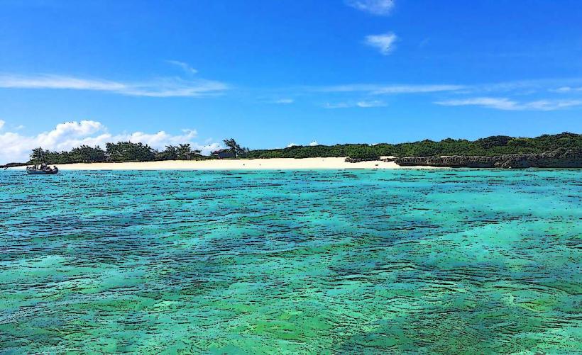
Sakalava Bay is a coastal inlet situated on the northern tip of Madagascar, near the city of Antsiranana. It is known for its consistent wind conditions and shallow waters.
Visual Characteristics
The bay features fine, white sand beaches and clear, turquoise waters. Sparse coastal vegetation, primarily mangroves and low-lying shrubs, lines the shore. The bay is relatively shallow, with a consistent fetch for wind.
Location & Access Logistics
Sakalava Bay is located approximately 20 kilometers south of Antsiranana city center. Access is primarily via a dirt track branching off Route Nationale 6 (RN6). Parking is informal along the track or near the beach access points. Public transport is limited to private taxis or rented 4x4 vehicles; no specific bus lines serve the bay directly.
Historical & Ecological Origin
Sakalava Bay is a natural coastal formation, part of the larger Diego Suarez Bay complex, shaped by marine erosion and sediment deposition. Its ecological classification is a shallow marine bay ecosystem, supporting various marine life adapted to sandy bottoms and seagrass beds.
Key Highlights & Activities
Kitesurfing and windsurfing are primary activities due to consistent trade winds. Swimming is possible in the calm, shallow waters. Beach walks along the extensive shoreline are common.
Infrastructure & Amenities
Basic restrooms may be available at some private kite schools operating seasonally. Natural shade is limited to sparse trees along the beach. Cell phone signal (4G) is generally available but can be intermittent. A few small, informal food stalls or beach shacks may operate during peak season, offering local snacks and drinks.
Best Time to Visit
The best time for wind sports is from April to November, coinciding with the dry season and strong southeast trade winds. Mornings offer calmer conditions suitable for swimming, while afternoons typically have stronger winds. Photography is best in the early morning or late afternoon for softer light.
Facts & Legends
The bay's name derives from the Sakalava people, one of Madagascar's largest ethnic groups, historically prominent in the western and northern regions. A local tip suggests wearing reef shoes due to occasional sharp coral fragments washed ashore, despite the sandy bottom.
Nearby Landmarks
- Ramena Beach: 10km North
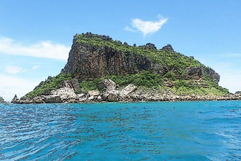
- Emerald Sea (Mer d'Émeraude): 15km North-East (accessible by boat from Ramena)
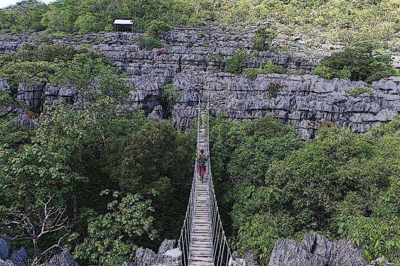
- Montagne des Français: 25km North-West
- Windsor Castle (Cap Miné): 12km North-East