Information
Landmark: Salmon-Challis National ForestCity: Challis
Country: USA Idaho
Continent: North America
Salmon-Challis National Forest, Challis, USA Idaho, North America
Salmon-Challis National Forest is a protected area located in central Idaho, USA. It encompasses a significant portion of the Frank Church River of No Return Wilderness.
Visual Characteristics
The forest is characterized by rugged mountain ranges, including the Salmon River Mountains and the Lemhi Range. Elevations range from approximately 4,000 feet along the Salmon River to over 11,000 feet at the highest peaks. Vegetation varies with elevation, featuring dense coniferous forests (Douglas fir, lodgepole pine, Engelmann spruce) at lower to mid-elevations, transitioning to alpine meadows and bare rock at higher altitudes. The Salmon River, a major waterway, flows through the western portion of the forest, exhibiting clear, fast-moving water. Numerous smaller streams and lakes are present throughout the landscape.
Location & Access Logistics
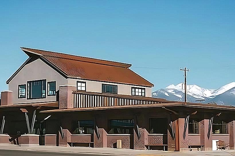
The forest is situated in central Idaho, with the town of Challis serving as a primary gateway. Access from Challis is primarily via State Highway 75, which runs north-south through the forest. Other access points include State Highway 28 from the east and various Forest Service roads branching off these highways. Distances from major cities: Boise is approximately 200 miles southwest, and Missoula, Montana, is about 250 miles north. Parking is available at designated trailheads and campgrounds. Public transport options are limited; the nearest major airport is in Boise. Limited shuttle services may operate seasonally between Challis and trailheads.
Historical & Ecological Origin
The Salmon-Challis National Forest was established through the consolidation of the Salmon National Forest and the Challis National Forest in 1943. The area's geological history is marked by volcanic activity and significant glacial sculpting, resulting in the current mountainous terrain and U-shaped valleys. Ecologically, it represents a transition zone between the Northern Rocky Mountains and the Great Basin, supporting a diverse range of flora and fauna. The Frank Church River of No Return Wilderness, a large portion of the forest, was designated in 1980 to preserve its wilderness character.
Key Highlights & Activities
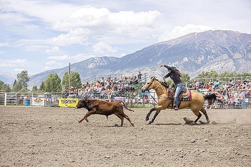
Hiking is a primary activity, with trails ranging from short nature walks to multi-day backcountry expeditions. The Frank Church River of No Return Wilderness offers extensive opportunities for backpacking and wilderness exploration. Fishing is available in the Salmon River and its tributaries, as well as in numerous alpine lakes. Opportunities for wildlife viewing include elk, deer, bighorn sheep, and various bird species. River rafting and kayaking are popular on the Salmon River during the spring and summer melt. Hunting is permitted during designated seasons.
Infrastructure & Amenities
The forest contains numerous developed campgrounds with basic facilities, including vault toilets and potable water at some locations. Dispersed camping is permitted in many areas. Picnic areas are available at select locations. Cell phone signal is generally absent within the wilderness areas and sporadic in more remote parts of the forest; 4G/5G service is unreliable. Food vendors and services are concentrated in gateway towns like Challis and Salmon, with limited services available at some developed recreation sites.
Best Time to Visit
The primary visitor season is from late May through October. Summer (July-August) offers the most accessible conditions for hiking and camping, with warmer temperatures. Fall (September-October) provides cooler weather and autumn colors. Spring (May-June) can see snowmelt impacting trail accessibility at higher elevations. For river activities, peak flows typically occur in June. The best time for wildlife viewing is often dawn and dusk. Photography is best in the early morning and late afternoon for optimal lighting on the mountain landscapes.
Facts & Legends
The Salmon River is one of the longest undammed rivers in the United States, supporting significant populations of chinook salmon. A unique geological feature is the presence of ancient lava flows in certain areas, remnants of past volcanic activity. Local folklore includes tales of prospectors and early settlers who ventured into the remote wilderness seeking fortune.
Nearby Landmarks
- Frank Church River of No Return Wilderness (0km North - Integrated)
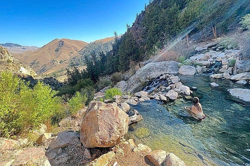
- Challis Hot Springs (5km South)
- Sawtooth National Recreation Area (50km Southwest)
- Borah Peak (40km Southeast)
- Craters of the Moon National Monument & Preserve (120km South)