Information
Landmark: Sandnessund BridgeCity: Tromso
Country: Norway
Continent: Europe
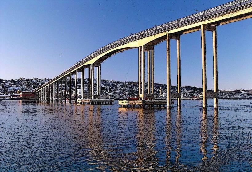
Sandnessund Bridge, Tromso, Norway, Europe
The Sandnessund Bridge is a concrete cantilever bridge spanning the Sandnessundet strait in Tromsø, Norway. It connects the island of Tromsøya to the island of Kvaløya, facilitating road traffic.
Visual Characteristics
The bridge is constructed from reinforced concrete, presenting a light grey appearance. It measures 1,220 meters in length and consists of 36 spans. The main span extends 150 meters, providing a maximum navigational clearance of 41 meters above sea level. Its design is characteristic of cantilever bridges, featuring a series of balanced segments.
Location & Access Logistics
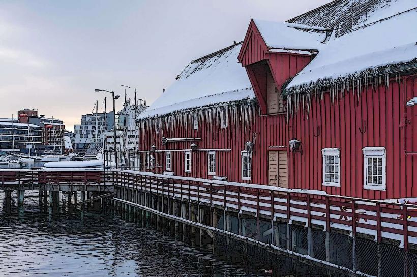
The Sandnessund Bridge is an integral part of Norwegian County Road 862 (Fv862). It is situated approximately 5 kilometers west of Tromsø city center. Access is direct via Fv862 from both Tromsøya and Kvaløya. Parking is not available directly on the bridge structure; however, limited public parking exists in residential and commercial areas adjacent to the bridge approaches on both islands. Public transportation is available, with several local bus lines, such as routes 42 and 420, regularly crossing the bridge and connecting key points on both islands.
Historical & Ecological Origin
Construction of the Sandnessund Bridge commenced in 1972, and it was officially opened to traffic on June 26, 1974. Its primary purpose was to establish a permanent road connection between Tromsøya, where the city center and airport are located, and the larger island of Kvaløya, replacing previous ferry services and improving regional infrastructure and accessibility.
Key Highlights & Activities
Driving across the bridge offers panoramic views of the Sandnessundet strait and surrounding islands. Designated pedestrian walkways and bicycle lanes are available on both sides of the bridge deck, allowing for walking and cycling. Photography of the bridge structure and the fjord landscape is possible from various vantage points on the approaches.
Infrastructure & Amenities
No public restrooms or dedicated shade structures are present directly on the Sandnessund Bridge. Cell phone signal, including 4G and 5G, is consistently available across the bridge due to its proximity to urban areas. There are no food vendors or commercial establishments located on the bridge itself; however, restaurants and shops are accessible in the residential and commercial zones on both Tromsøya and Kvaløya, within a short driving distance.
Best Time to Visit
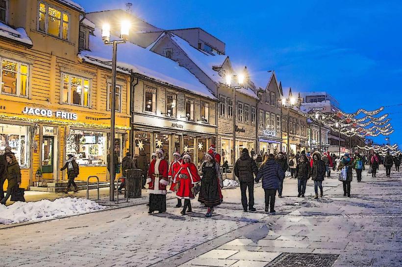
For optimal photography, early morning or late evening hours during summer months (June to August) provide soft, extended daylight, ideal for capturing the bridge and water. During winter (November to February), the bridge can be viewed under snow conditions, with potential for Northern Lights visibility on clear nights. The bridge is accessible year-round, and its functionality is not dependent on tidal conditions.
Facts & Legends
The construction of the Sandnessund Bridge significantly reduced travel times to Tromsø Airport, Langnes, which is situated on Kvaløya. Before its completion, travelers relied on a ferry service, making the bridge a critical infrastructure development for the region's connectivity and economic growth.
Nearby Landmarks
- Tromsø Airport, Langnes: 1 km West
- University of Tromsø (UiT) - The Arctic University of Norway: 3 km East
- Arctic-Alpine Botanic Garden: 3.5 km East
- Prestvannet Lake: 4 km East-Southeast