Information
Landmark: Savannah TrailsCity: Falmouth
Country: Antigua and Barbuda
Continent: North America
Savannah Trails, Falmouth, Antigua and Barbuda, North America
Savannah Trails is a protected natural area located on the island of Antigua, within the nation of Antigua and Barbuda.
This designation encompasses a network of coastal paths and undeveloped shoreline.
Visual Characteristics
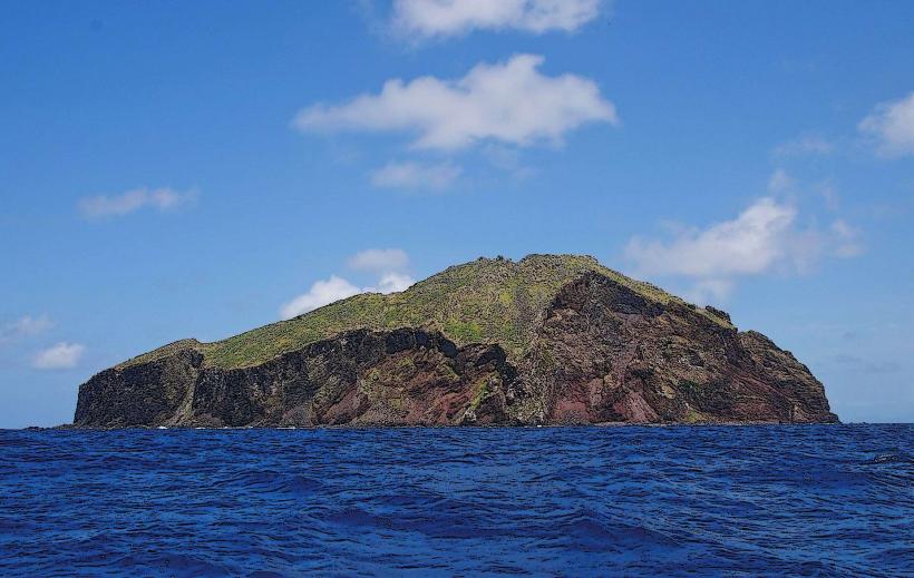
The terrain consists of low-lying scrubland and dry forest transitioning to sandy beaches. Vegetation is characterized by drought-resistant shrubs, cacti, and scattered acacia trees. The coastline features a mix of fine, light-colored sand and exposed coral rock formations. The water clarity is generally high, with shades of turquoise and blue.
Location & Access Logistics
Savannah Trails is situated on the southwestern coast of Antigua, approximately 15 kilometers southwest of the capital city, St. John's. Access is via the main road, Sir George Walter Highway, then turning onto Old Road. A smaller, unpaved access road, marked by a sign for "Falmouth Harbour," leads to designated parking areas. Public transport options are limited; the closest bus route stops at Falmouth Harbour, requiring an additional 1.5km walk to the trailheads.
Historical & Ecological Origin
The area is a natural geological formation, primarily composed of sedimentary rock and coral deposits. Historically, it served as a buffer zone and provided natural resources for early inhabitants. Its ecological classification is a coastal dry forest and scrubland ecosystem, supporting endemic flora and fauna adapted to arid conditions.
Key Highlights & Activities
Hiking is the primary activity, with marked trails of varying lengths. Birdwatching is possible, particularly for migratory species during certain seasons. Coastal exploration and photography are also common. Swimming is permitted in designated areas, subject to sea conditions.
Infrastructure & Amenities
Limited infrastructure is present. Designated parking areas are available. Informational signage is posted at trailheads. Restroom facilities are not consistently maintained. Shade is minimal, primarily provided by scattered trees. Cell phone signal (4G/5G) is intermittent, with better reception closer to Falmouth Harbour.
Best Time to Visit
The best time for hiking is during the cooler months, from December to April, to avoid the highest temperatures. Early morning or late afternoon offers optimal lighting for photography and reduced heat exposure. High tide can affect access to some beach areas.
Facts & Legends
Local lore suggests that the area was once used for clandestine meetings due to its remote location. A specific point along the western trail offers a clear view of a submerged shipwreck, visible on calm days, though its identity and origin remain unconfirmed.
Nearby Landmarks
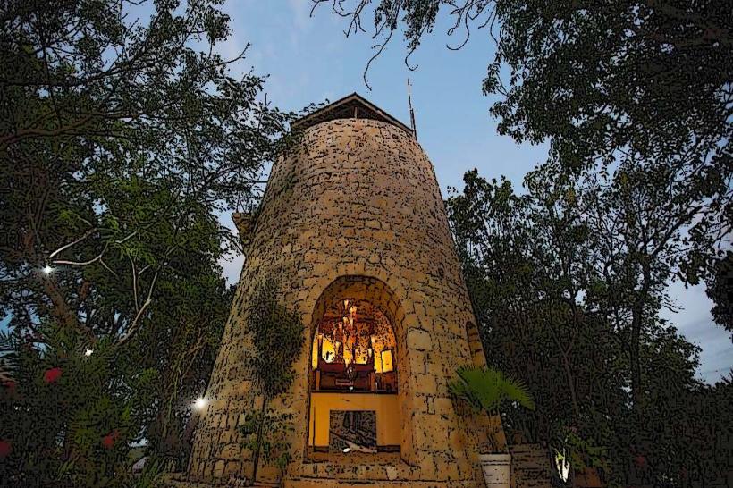
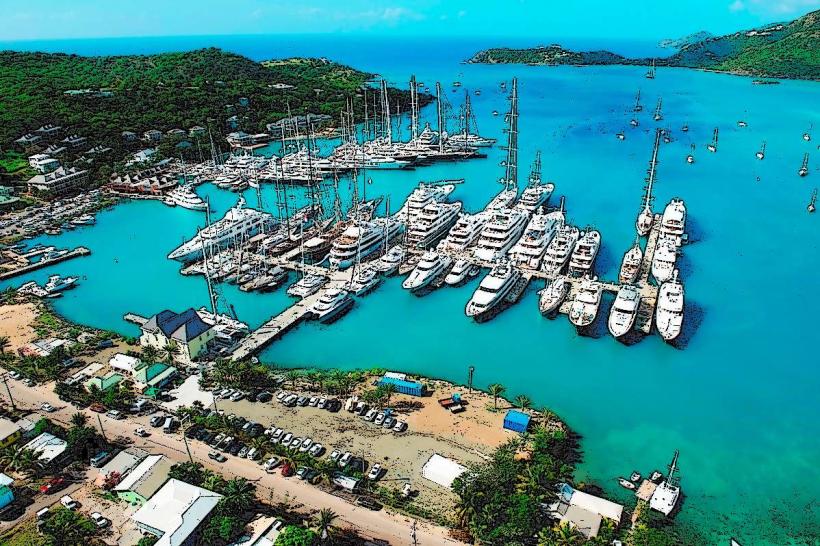
- Falmouth Harbour (0.8km Northeast)
- Nelson's Dockyard National Park (1.2km East)
- Shirley Heights (2.5km East)
- English Harbour (1.5km East)
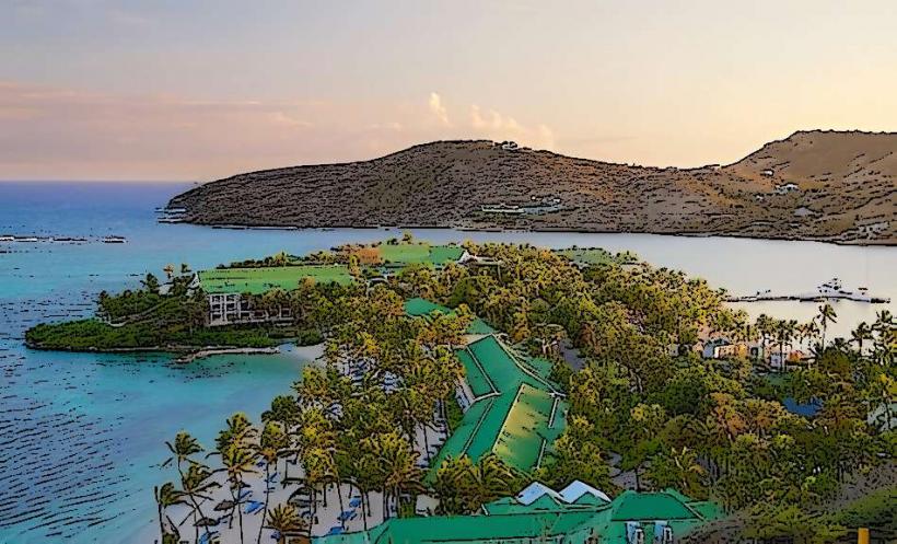
- Pigeon Point Beach (3.0km Southwest)