Information
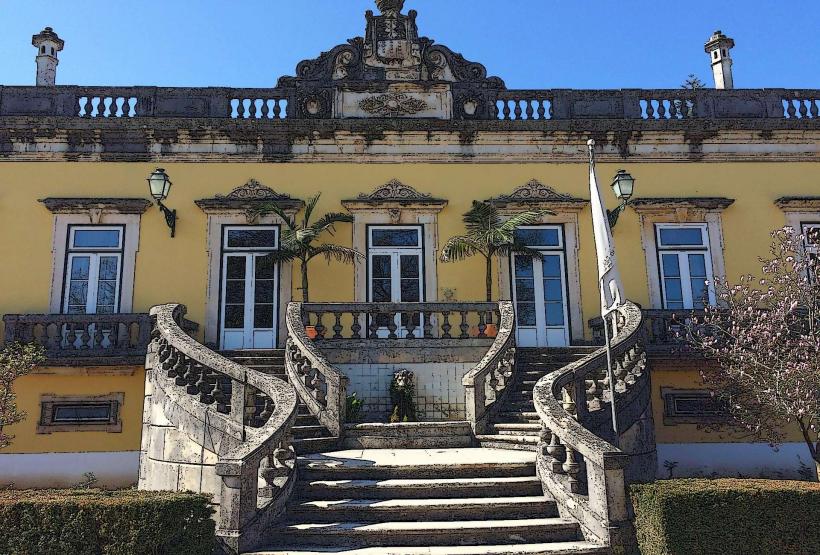
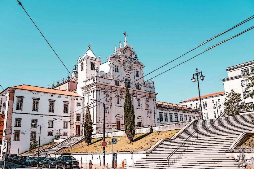
Landmark: Serra da Estrela Natural ParkCity: Coimbra
Country: Portugal
Continent: Europe
Serra da Estrela Natural Park, Coimbra, Portugal, Europe
Serra da Estrela Natural Park is the largest protected area in Portugal, encompassing the country's highest mountain range. While it is the primary mountain destination for residents of Coimbra, the park's western entrance is located approximately 75 km (47 miles) east of the city, with the summit (Torre) situated about 100 km (62 miles) away.
Visual Characteristics
The park is defined by a rugged, glacial landscape featuring granite massifs, deep U-shaped valleys, and crystalline glacial lagoons. The higher elevations are characterized by alpine tundra and rock outcrops, while the lower slopes are covered in dense pine and oak forests. The most iconic visual landmark is the Torre, a stone tower marking the highest point in mainland Portugal (1,993 meters).
Location & Access Logistics
From Coimbra: Approximately a 1-hour and 30-minute drive via the IP3 and IC6 highways toward Seia or Covilhã.
Access Points: The main gateway towns are Seia (West), Covilhã (East), and Manteigas (Central).
Public Transit: Highly limited within the park. Buses connect Coimbra to Seia or Covilhã, but a private vehicle is required to reach the summit or trailheads.
Road Conditions: Roads are well-paved but winding. In winter, snow chains or 4x4 vehicles are often mandatory, and roads to the summit may close during blizzards.
Historical & Ecological Origin
Geology: The range was formed by tectonic movements and shaped by the last glaciation approximately 20,000 years ago, leaving behind the Zêzere Glacial Valley.
Biodiversity: It is the only place in Portugal where alpine flora and fauna exist. It is the habitat of the Serra da Estrela Dog, one of the oldest breeds in the Iberian Peninsula, used for centuries to protect sheep from wolves.
Economy: Traditionally based on transhumance (seasonal sheep migration) and the production of Queijo Serra da Estrela, a protected-designation sheep cheese.
Key Highlights & Activities
Torre: The summit plateau, which hosts Portugal's only ski resort.
Zêzere Glacial Valley: A 13km-long U-shaped valley offering some of the most dramatic hiking routes in Europe.
Lagoa Comprida: The largest of the park's 25 glacial lagoons.
Senhora do Desterro: A religious site featuring several small chapels nestled in the woods near Seia.
Loriga River Beach: A natural swimming area set within a glacial cirque.
Infrastructure & Amenities
Visitor Centers: Located in Seia (CIZ) and Manteigas.
Connectivity: 5G/4G is generally available in towns and near the summit, but "dead zones" are frequent in deep valleys.
Services: Mountain lodges, specialized cheese shops, and wool museums (in Covilhã and Manteigas).
Accessibility: The Torre summit and main viewpoints are accessible by car, but hiking trails are rugged and high-difficulty.
Best Time to Visit
Winter (Dec–Mar): For snow sports and the distinctive "frozen" landscape.
Spring (Apr–June): For blooming yellow broom and high-flow waterfalls.
Autumn (Oct–Nov): For the fall colors in the deciduous forests of Manteigas.
Avoid: Summer weekends if seeking solitude, as the park is a major domestic tourism destination.
Facts & Legends
A famous geographic fact is that three major rivers-the Mondego, Zêzere, and Alva-all originate within the park. A local legend tells of a shepherd who followed a star to the top of the mountain to find his destiny, giving the range its name ("Mountain of the Star").
Nearby Landmarks
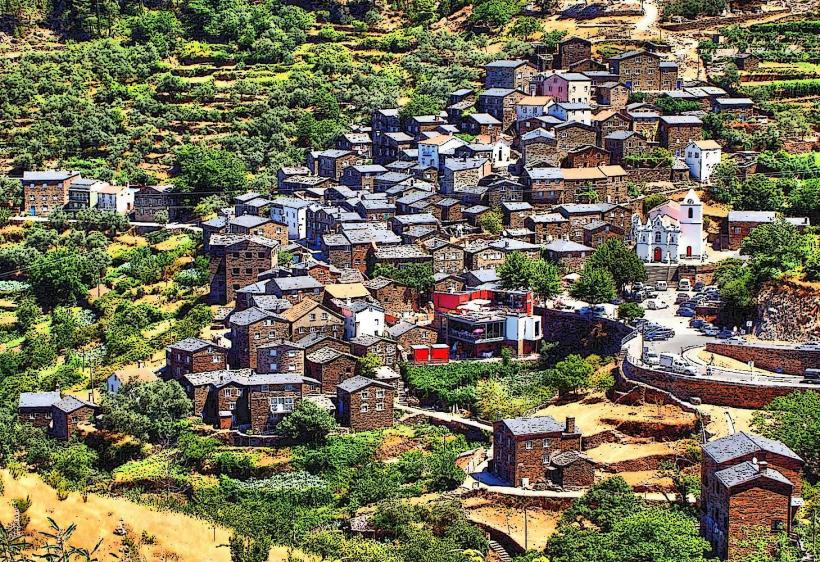
Piódão (40 km) – A "shale" village famous for its dark stone houses.
Linhares da Beira (25 km) – A medieval village and paragliding hub.
Covilhã (at the base) – Known for its industrial textile heritage.
Seia (at the base) – Home to the Bread Museum (Museu do Pão).