Information
Landmark: St. Vital ParkCity: Winnipeg
Country: Canada
Continent: North America
St. Vital Park, Winnipeg, Canada, North America
St. Vital Park is a municipal park situated in Winnipeg, Manitoba, Canada. It is located south of the Red River.
Visual Characteristics
The park features mature deciduous trees, primarily elm and oak, providing significant canopy cover. Open grassy areas are interspersed with paved pathways. The Red River forms the park's northern boundary, with a section of the Seine River flowing through its eastern portion. A man-made pond, approximately 1.5 hectares in size, is located centrally within the park.
Location & Access Logistics
St. Vital Park is located at 190 River Road, Winnipeg, MB R2M 3Z4. It is approximately 8 kilometers south of Winnipeg's downtown core. Access is via River Road, which connects to Pembina Highway (Manitoba Highway 42). The park offers ample paved parking lots at multiple entry points. Public transport is available via Winnipeg Transit bus route 16, with stops located along River Road adjacent to the park entrance.
Historical & Ecological Origin
The land was acquired by the City of Winnipeg in stages, with significant portions designated as parkland in the early 20th century. The park's development as a recreational space began in the 1930s. The pond was created in the 1960s as part of park improvements. Ecologically, the park is situated within the aspen parkland biome, characterized by mixedwood forests and grasslands.
Key Highlights & Activities
Activities include walking and cycling on paved trails totaling approximately 4 kilometers. The park contains a children's playground and a wading pool that operates seasonally. The pond is used for ice skating during winter months when conditions permit. Fishing is permitted in the Seine River section. Designated picnic areas with tables and grills are available.
Infrastructure & Amenities
Restrooms are located near the main parking areas and the playground. Several picnic shelters provide shade. Cell phone signal (4G/5G) is generally available throughout the park. No on-site food vendors are present, but convenience stores are located within 1 kilometer of the park's perimeter on Pembina Highway.
Best Time to Visit
For photography, early morning or late afternoon light offers optimal illumination of the tree canopy and open spaces. The months of June through September provide the most favorable weather for outdoor activities. The pond is accessible for skating from December to February, contingent on freezing temperatures.
Facts & Legends
A local anecdote suggests that the park's pond was once a natural oxbow lake of the Red River, though geological surveys indicate it was constructed. A specific tip for visitors is to explore the less-trafficked trails along the Seine River for increased birdwatching opportunities.
Nearby Landmarks
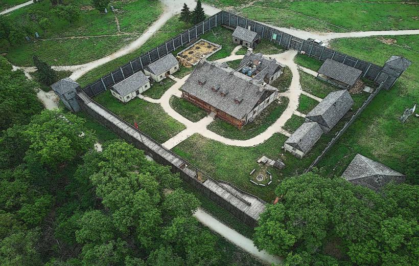
- Fort Gibraltar (2.5km Northeast)
- The Forks National Historic Site (7.0km Northwest)
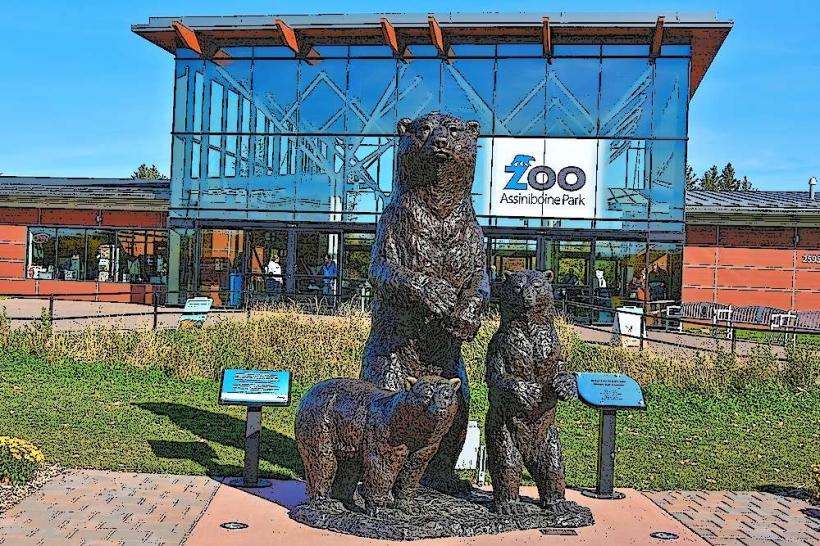
- Assiniboine Park (10.0km West)
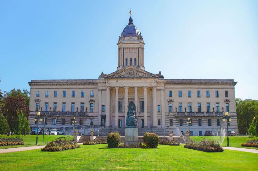
- Manitoba Legislative Building (8.5km Northwest)
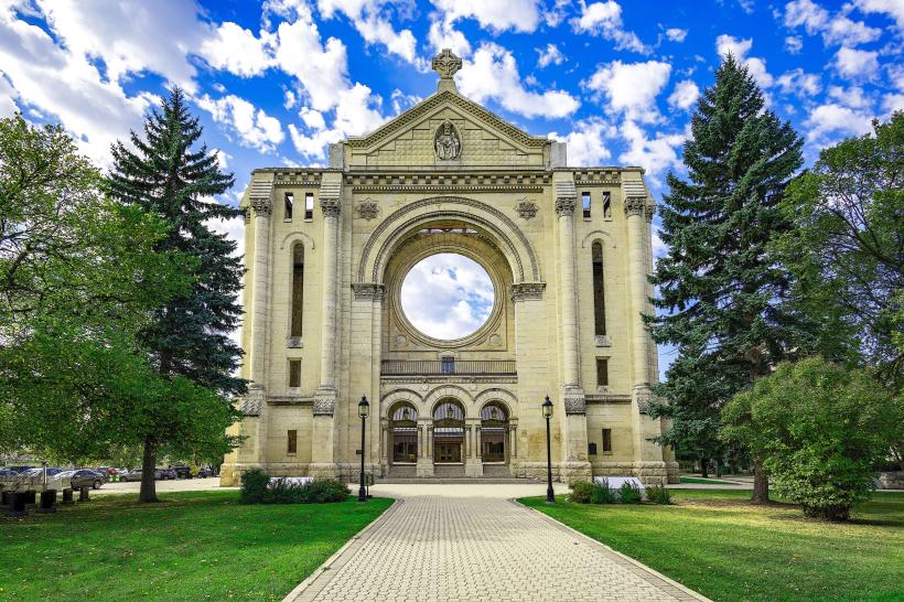
- St. Boniface Cathedral (7.5km Northwest)