Information
Landmark: Sugarloaf MountainCity: Rio de Janeiro
Country: Brazil
Continent: South America
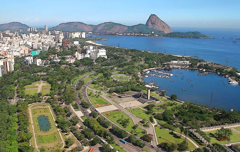
Sugarloaf Mountain, Rio de Janeiro, Brazil, South America
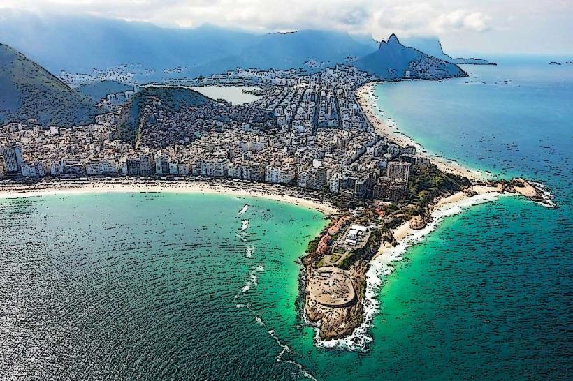
Sugarloaf Mountain is a granite and quartz porphyry peak located at the mouth of Guanabara Bay in Rio de Janeiro, Brazil.
It is accessible via a two-stage cable car system.
Visual Characteristics
The mountain rises 396 meters (1,299 feet) above the harbor. Its steep, near-vertical sides are composed of exposed rock. The summit offers panoramic views of the city, bay, and surrounding coastline.
Location & Access Logistics
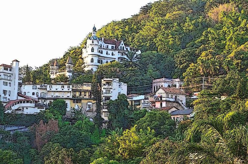
Sugarloaf Mountain is situated in the Urca neighborhood of Rio de Janeiro. Access begins at Praia Vermelha (Red Beach). The primary access point is the cable car station located at Praça General Tibúrcio, 1.5km from the Botafogo district. Parking is available at the base station, though it can be limited during peak hours. Bus lines 513 and 581 stop near Praia Vermelha. The cable car system operates in two segments: the first ascends to Morro da Urca (220 meters), and the second continues to the summit of Sugarloaf Mountain.
Historical & Ecological Origin
The mountain's geological formation dates back approximately 600 million years, formed by the erosion of granite and quartz porphyry. Its name is derived from its resemblance to a conical sugarloaf mold used in the 16th century for transporting sugar.
Key Highlights & Activities
The primary activity is riding the cable car for elevated views. Visitors can walk around the summit observation decks. Photography is a common activity. Hiking trails are not permitted on the main mountain due to safety concerns, but limited trails exist on Morro da Urca.
Infrastructure & Amenities
Restrooms are available at both cable car stations and the summit. Shade is provided by structures at the observation decks. Cell phone signal (4G/5G) is generally strong at the summit and stations. Food and beverage vendors operate at the base station and the summit.
Best Time to Visit
For photography, late afternoon provides favorable lighting as the sun sets behind the city. The best months for clear skies and comfortable temperatures are typically April through September. High tide is not a factor for access.
Facts & Legends
A local legend suggests that the mountain was named by Portuguese explorers who saw its shape resembling the sugar loaves they used for trade. A verified historical detail is that the cable car system, first inaugurated in 1912, was one of the first of its kind in the world.
Nearby Landmarks
- Praia Vermelha (0.2km West)
- Fort São João (0.4km North)
- Morro da Urca (1.5km West)
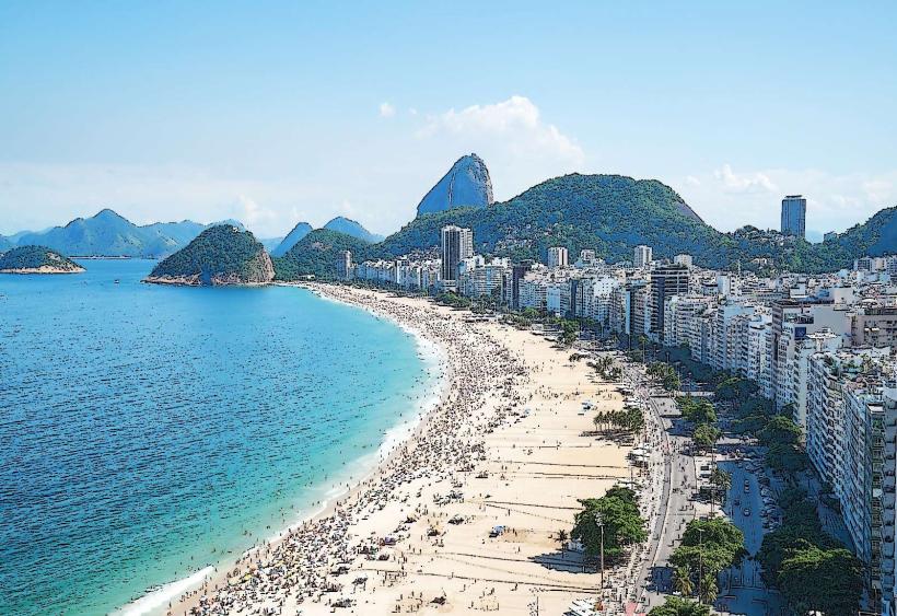
- Copacabana Beach (3.0km Southwest)
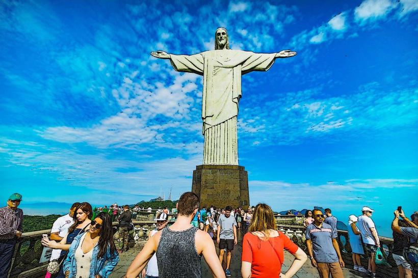
- Christ the Redeemer (4.5km West)