Information
Landmark: Ta Dung LakeCity: Dak Nong
Country: Vietnam
Continent: Asia
Ta Dung Lake, Dak Nong, Vietnam, Asia
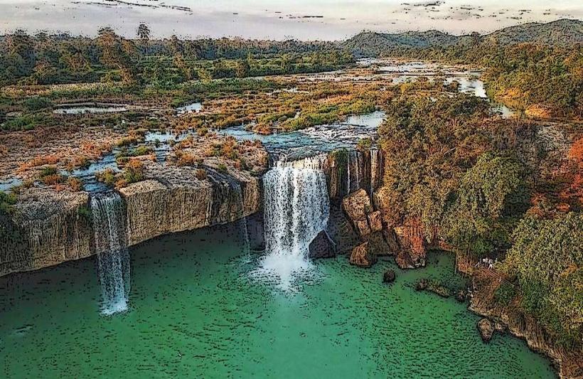
Ta Dung Lake is a large reservoir located in Dak Nong Province, Vietnam. It is formed by the damming of the Dong Nai River.
Visual Characteristics
The lake's surface is characterized by numerous islands, varying in size, covered with dense green vegetation. The water color ranges from deep blue to turquoise depending on the light and depth. The surrounding terrain consists of rolling hills and mountains with exposed rock faces in some areas.
Location & Access Logistics
Ta Dung Lake is situated approximately 120 kilometers south of Gia Nghia City, the capital of Dak Nong Province. Access is primarily via National Highway 28. The road leading to the lake is paved but can be narrow and winding. Parking is available at designated viewpoints and near boat rental facilities. Public transport directly to the lake is limited; private vehicles or taxis are the most common modes of transport. Boat tours are a primary way to explore the lake.
Historical & Ecological Origin
Ta Dung Lake was created by the construction of the Ta Dung Hydropower Dam, completed in 2010. The dam's primary purpose is hydroelectric power generation and water management for irrigation. Ecologically, the area is part of the Central Highlands' forest ecosystem, supporting diverse flora and fauna.
Key Highlights & Activities
Activities include boat tours to explore the islands, fishing, and photography. Hiking trails are present on some of the larger islands, offering elevated views of the reservoir. Swimming is not recommended due to the reservoir's depth and currents.
Infrastructure & Amenities
Basic amenities are available at the main docking areas, including small food stalls selling local snacks and drinks. Restrooms are generally available at these points. Shade is provided by natural tree cover on the islands and some man-made shelters at viewpoints. Cell phone signal (4G) is intermittent, particularly in more remote sections of the lake.
Best Time to Visit
The best time for photography is during the early morning or late afternoon when the sun angle provides optimal lighting on the water and islands. The dry season, from November to April, offers clearer skies and more stable weather conditions. The wet season (May to October) can bring rain, affecting visibility and boat operations.
Facts & Legends
Local folklore suggests that some of the larger islands are the resting places of ancient spirits. A specific tip for visitors is to inquire about local fishing practices; some fishermen offer short trips to observe traditional methods.
Nearby Landmarks
- Ta Dung National Park (0.2km West)
- Dray Sap Waterfall (45km North)
- Gia Long Waterfall (48km North)
- Buon Ma Thuot City (110km North)