Information
Landmark: Taberi RiverCity: Marigot
Country: Dominica
Continent: North America
Taberi River, Marigot, Dominica, North America
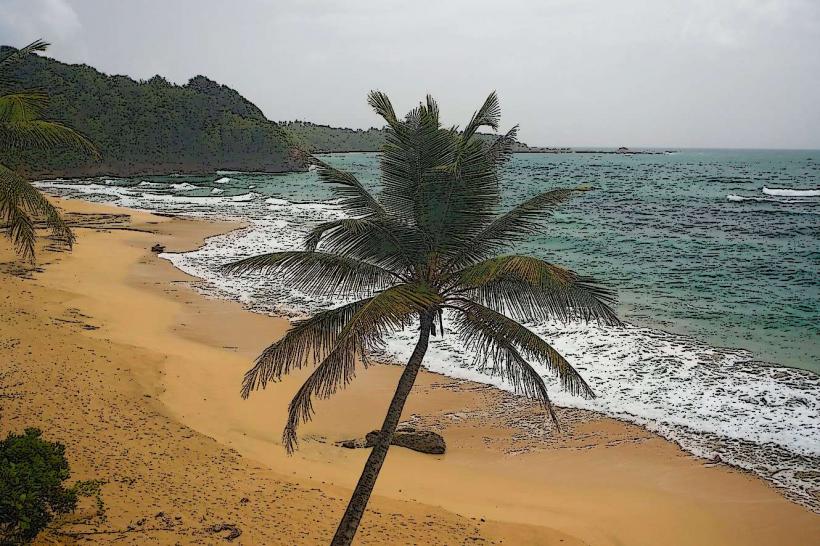
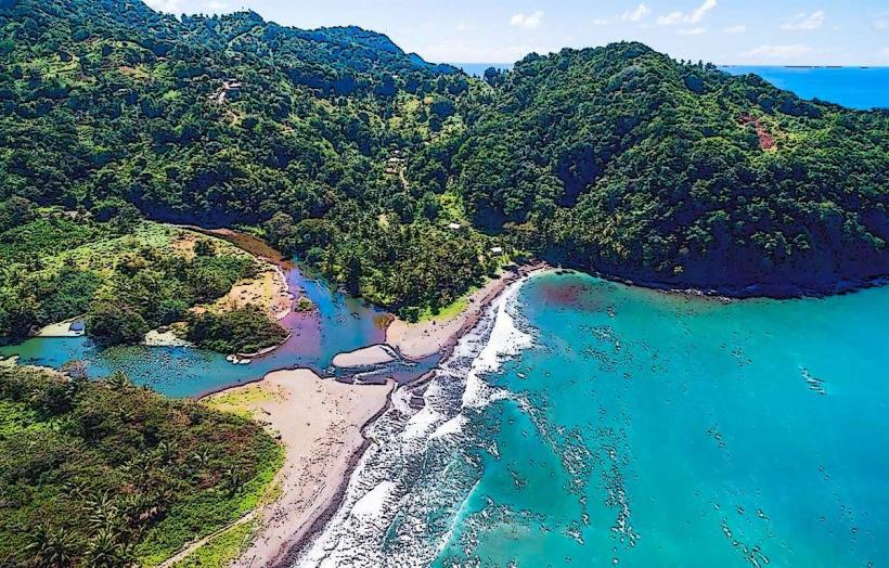
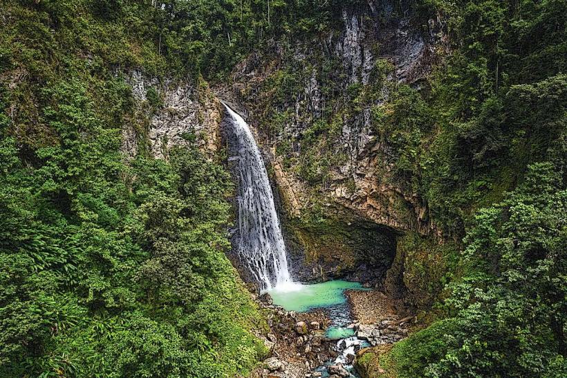
The Taberi River is a freshwater river located in the interior of Dominica, flowing through the parish of Saint David. It is a significant waterway within the island's natural landscape.
Visual Characteristics
The riverbed is characterized by dark, volcanic rock formations and smooth, water-worn stones. The water clarity varies, often appearing clear to light brown depending on recent rainfall and sediment load. The surrounding vegetation is dense, consisting of tropical rainforest with a high canopy cover, featuring various species of ferns, palms, and broadleaf trees. Riverbanks are typically steep and covered in mosses and epiphytes.
Location & Access Logistics
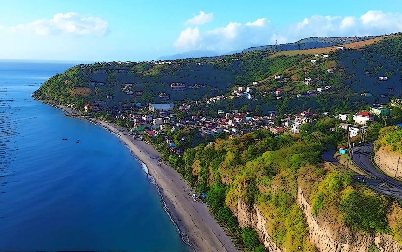
The Taberi River is situated approximately 15 kilometers inland from the east coast of Dominica, east of the village of Marigot. Access is primarily via the secondary road connecting Marigot to the interior, specifically the road leading towards the village of Delices. From the main road, unpaved tracks may lead closer to specific access points, though these are often rough and suitable only for 4x4 vehicles. Public transport does not directly service the river; visitors typically require private transportation. Parking is informal and limited to cleared areas along the access tracks.
Historical & Ecological Origin
The Taberi River is a product of the island's volcanic geology. Its formation is attributed to the erosive forces of rainfall acting upon the volcanic rock over millennia, carving channels through the mountainous terrain. Ecologically, it is part of the island's humid tropical rainforest ecosystem, supporting a diverse range of flora and fauna adapted to this environment.
Key Highlights & Activities
Activities include hiking along the riverbanks to observe the natural formations and vegetation. Swimming is possible in designated deeper pools during periods of low flow. Birdwatching is a common activity due to the rich avian population of the surrounding rainforest. Exploration of smaller tributaries and cascades is also feasible.
Infrastructure & Amenities
There are no formal infrastructure or amenities directly at the Taberi River. Restrooms, shade structures, and food vendors are not present. Cell phone signal is generally unreliable to non-existent in the immediate vicinity due to the dense forest cover and remote location.
Best Time to Visit
The best time for visiting is during the dry season, typically from February to May, to minimize the impact of heavy rainfall on river conditions and access roads. Mid-morning offers good natural light for photography before the sun reaches its zenith. High tide is not a relevant factor for this inland river.
Facts & Legends
Local folklore suggests that certain deep pools within the Taberi River are inhabited by water spirits, and offerings are sometimes left by villagers to ensure safe passage or good fortune. A specific geological feature known as the "Whispering Rocks" is said to emit faint sounds when the wind blows through its crevices.
Nearby Landmarks
- Emerald Pool (12km Northwest)
- Trafalgar Falls (18km Southwest)
- Boiling Lake (20km Southwest)
- Middleham Falls (15km Southwest)