Information
Landmark: Table Rock LakeCity: Branson
Country: USA Missouri
Continent: North America
Table Rock Lake, Branson, USA Missouri, North America
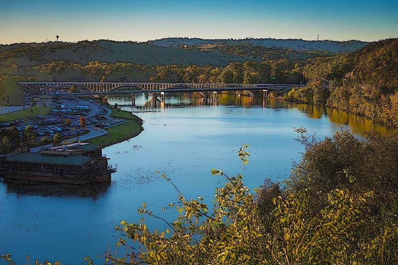
Table Rock Lake is a reservoir located in the Ozark Mountains of southwestern Missouri, USA.
It is formed by the Table Rock Dam on the White River.
Visual Characteristics
The lake's surface area is approximately 43,000 acres. Water color varies from deep blue to greenish depending on depth and sediment load. Shorelines are characterized by limestone bluffs and dense deciduous forest, with a mix of oak, hickory, and pine species. The topography surrounding the lake is hilly, with elevations reaching up to 2,270 feet.
Location & Access Logistics
Table Rock Lake is situated approximately 5 miles southwest of Branson, Missouri. Access is primarily via State Highway 165 and State Highway 265. Numerous public access points and marinas are located around the lake. Parking is available at designated boat ramps and day-use areas, with fees often applicable. Public transport options directly to lake access points are limited; private vehicle or taxi services are the most common methods of arrival.
Historical & Ecological Origin
Table Rock Dam was constructed by the U.S. Army Corps of Engineers, with construction beginning in 1954 and completed in 1959. The primary purpose was flood control, hydroelectric power generation, and providing a water supply. The lake was formed by impounding the White River. The geological formations in the region are primarily Mississippian limestone, contributing to the karst topography.
Key Highlights & Activities
Activities include boating, fishing for bass, crappie, and catfish, swimming, and waterskiing. Hiking trails are present in the surrounding state parks and U.S. Army Corps of Engineers recreation areas. Scuba diving is permitted in designated areas. Boat rentals and guided fishing tours are available from multiple marinas.
Infrastructure & Amenities
Restrooms are available at most public access points and marinas. Shade is provided by the surrounding forest canopy and at designated picnic areas. Cell phone signal (4G/5G) is generally available in most populated areas around the lake, but can be intermittent in more remote coves. Food vendors and restaurants are concentrated around the marinas and nearby towns.
Best Time to Visit
The best months for water-based activities are typically May through September, with water temperatures suitable for swimming from June to August. For photography, early morning and late afternoon offer favorable lighting conditions due to the angle of the sun. High tide is not a relevant factor for this freshwater reservoir.
Facts & Legends
A unique aspect of Table Rock Lake is its depth, reaching over 200 feet in some areas. The lake bed contains remnants of flooded towns and farms, with local lore sometimes referencing submerged structures. A specific tip for anglers is to target deeper structures during the summer months when fish seek cooler water.
Nearby Landmarks
- 3km Northeast: Table Rock Dam
- 4km Northeast: Table Rock State Park
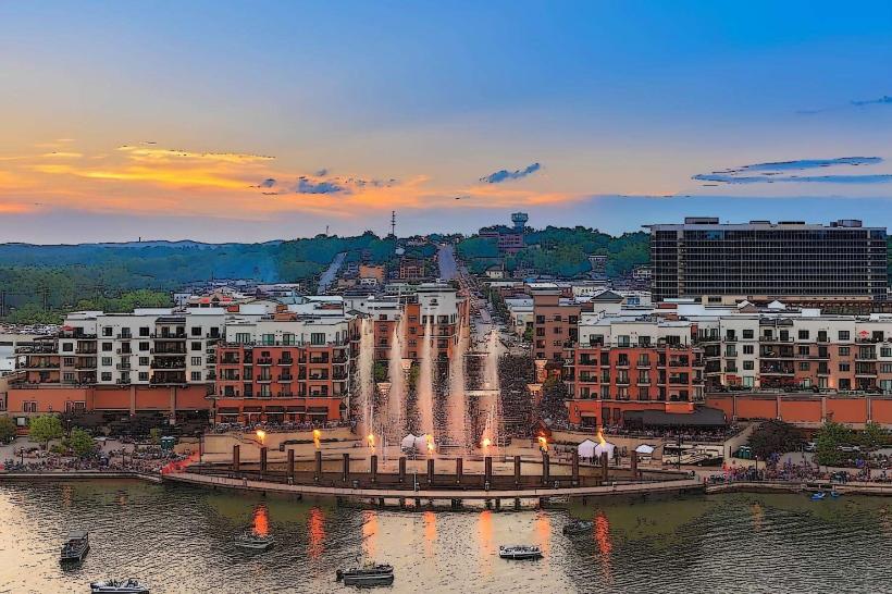
- 5km North: Branson Landing
- 6km Northwest: Silver Dollar City
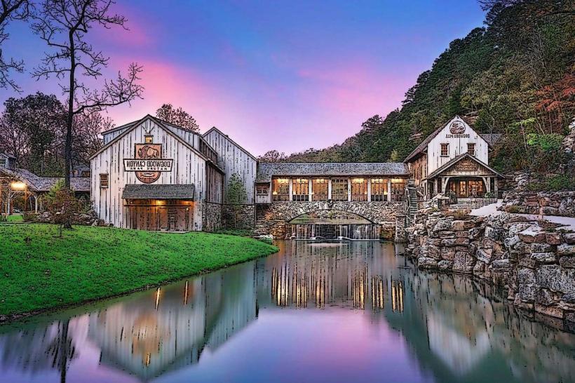
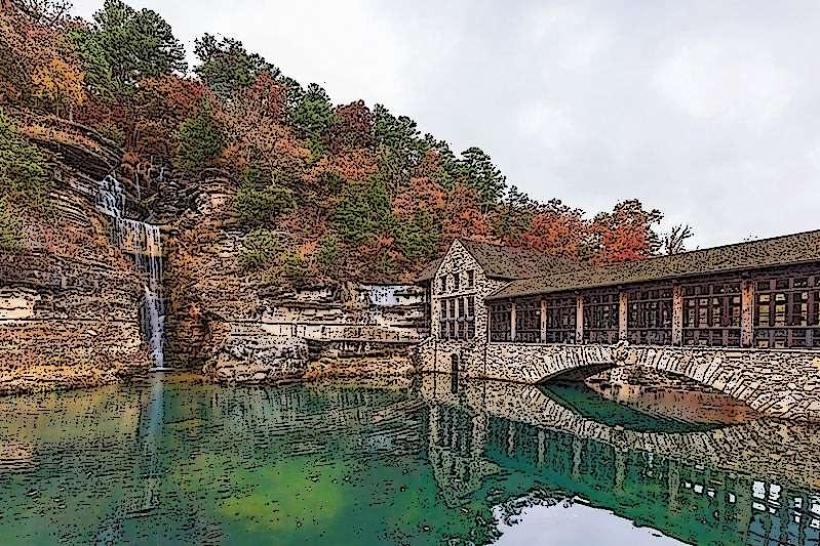
- 7km East: Dogwood Canyon Nature Park