Information
Landmark: The RocksCity: Sydney
Country: Australia
Continent: Australia
The Rocks, Sydney, Australia, Australia
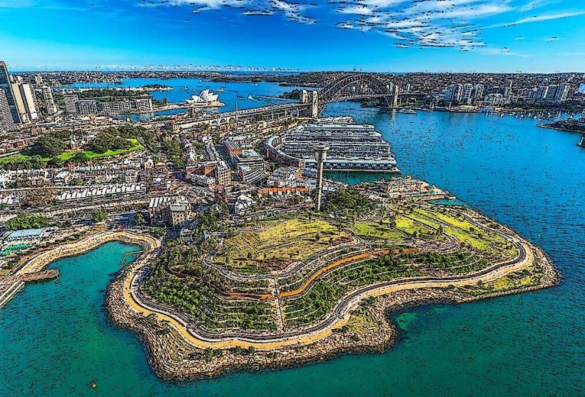
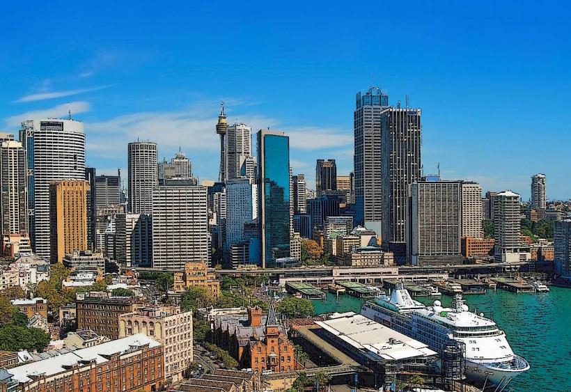
The Rocks is a historic precinct located on the northern edge of Sydney's central business district, Australia. It comprises a collection of sandstone buildings and laneways that represent the earliest European settlement in the area.
Visual Characteristics
The area is characterized by multi-story sandstone buildings, many dating from the 19th century. Facades exhibit a rough-hewn sandstone construction, often painted in muted tones of cream, grey, and ochre. Narrow, cobblestone laneways wind between structures, some featuring wrought-iron balconies. Building heights generally range from two to five stories.
Location & Access Logistics
The Rocks is situated directly north of Sydney's Central Business District, adjacent to Sydney Harbour. Access is via George Street, which leads into the precinct. Parking is available at the Secure Parking complex located at 55 Harrington Street, approximately 100 meters from the main square. Public transport options include the Circular Quay train station (all lines terminate here) and numerous bus routes that stop at Circular Quay. Ferry services also disembark at Circular Quay.
Historical & Ecological Origin
The area's history begins with the arrival of the First Fleet in 1788, serving as the initial landing site and settlement for convicts and free settlers. Many of the current structures were built between the 1830s and 1880s, primarily as residential housing, pubs, and warehouses. The original purpose was to establish a functional port and living area for the burgeoning colony. The underlying geology consists of Hawkesbury Sandstone, a Permian-era sedimentary rock.
Key Highlights & Activities
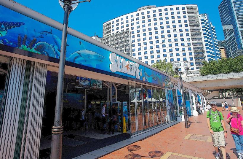
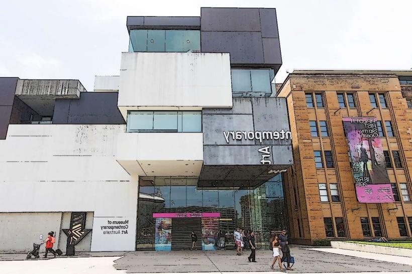
Walking tours of the historic laneways are available daily. The Museum of Contemporary Art Australia is located within the precinct. Shopping for souvenirs and local crafts can be done in the various market stalls and shops. Dining at heritage pubs and restaurants is a primary activity. Observation decks at the Sydney Harbour Bridge offer views of the area.
Infrastructure & Amenities
Public restrooms are located at the Circular Quay end of the precinct and within the Museum of Contemporary Art. Shade is provided by building overhangs and some awnings in market areas. Cell phone signal (4G/5G) is generally strong throughout the precinct. Numerous food vendors, cafes, and restaurants are present within The Rocks and at Circular Quay.
Best Time to Visit
For photography, early morning (07:00-09:00) offers softer light and fewer crowds. Mid-morning to early afternoon (10:00-15:00) is optimal for exploring shops and markets. The area can be crowded during weekends and public holidays. No specific tide requirements affect access.
Facts & Legends
A persistent local legend claims that the area was named "The Rocks" due to the rough, rocky terrain and the use of local sandstone in construction. However, historical records indicate the name was applied by Governor Arthur Phillip in 1788, referring to the rocky shoreline where ships were moored.
Nearby Landmarks
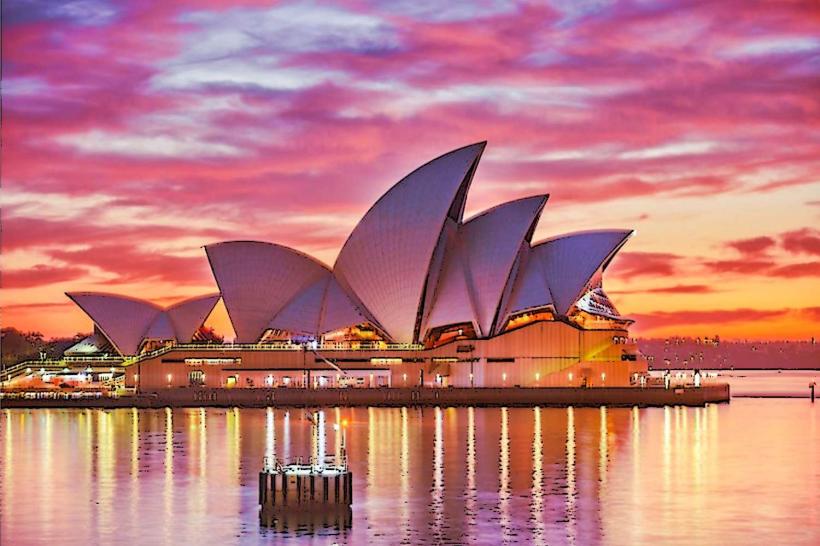
- Sydney Opera House (0.3km Northeast)
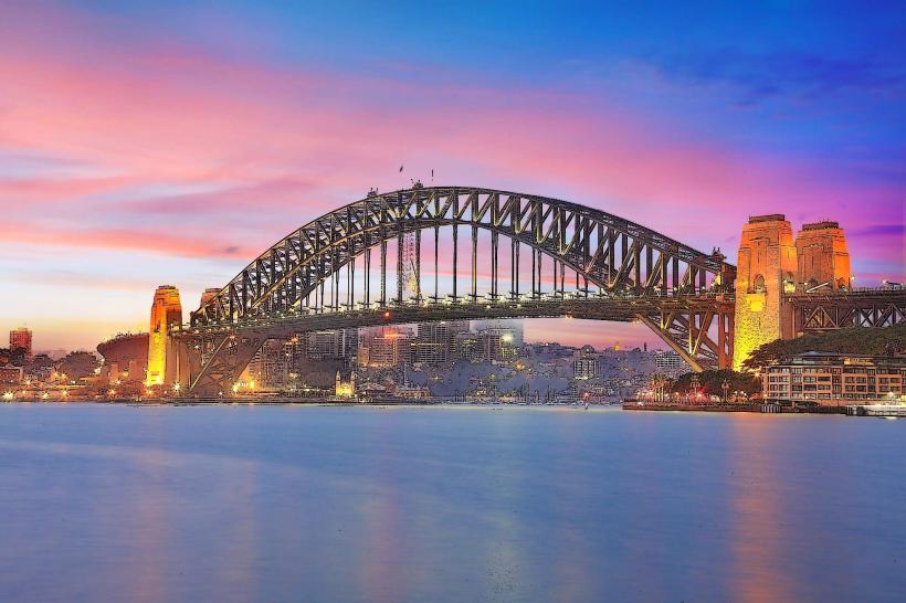
- Sydney Harbour Bridge (0.5km Northwest)
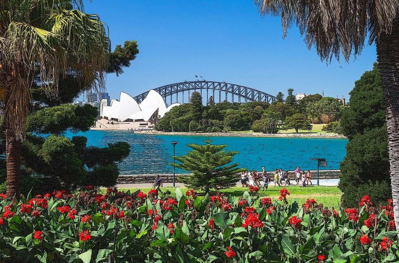
- Royal Botanic Garden, Sydney (0.8km East)
- Museum of Contemporary Art Australia (0.1km West)
- Pylon Lookout (0.6km Northwest)