Information
Landmark: Tizi n'Tichka PassCity: Ouarzazate
Country: Morocco
Continent: Africa
Tizi n'Tichka Pass, Ouarzazate, Morocco, Africa
Tizi n'Tichka Pass is a mountain pass located in the High Atlas Mountains of Morocco. It connects the city of Marrakech to the city of Ouarzazate.
Visual Characteristics
The pass features winding asphalt roads with an elevation reaching 2,260 meters (7,415 feet). Surrounding the road are rugged, arid mountain slopes with exposed rock formations and sparse vegetation, primarily scrub and hardy grasses. The dominant colors are earth tones: browns, ochres, and grays, with occasional patches of green during wetter periods. The sky is typically clear, offering wide visibility of the mountainous terrain.
Location & Access Logistics
Tizi n'Tichka Pass is situated on National Route 9 (N9), approximately 70 kilometers (43 miles) south of Marrakech and 70 kilometers (43 miles) north of Ouarzazate. The drive from Marrakech takes approximately 1.5 to 2 hours, depending on traffic and road conditions. Parking is available at designated viewpoints and small roadside establishments along the pass. Public transport options are limited to shared taxis (grand taxis) and buses that regularly travel between Marrakech and Ouarzazate, all of which traverse the pass.
Historical & Ecological Origin
The current road through Tizi n'Tichka Pass was largely constructed in the mid-20th century, though routes through the High Atlas have been used by caravans for centuries. The pass is part of the High Atlas mountain range, a geologically young mountain system formed by the collision of the African and Eurasian tectonic plates. The landscape is characterized by erosion of sedimentary and metamorphic rocks.
Key Highlights & Activities
Stopping at the summit viewpoint for panoramic views of the surrounding mountains is a primary activity. Several small Berber villages are located along the route, offering opportunities to observe local life. Small stalls sell local crafts and argan oil products. Driving the pass itself is an experience due to the dramatic elevation changes and switchbacks.
Infrastructure & Amenities
Restrooms are available at some of the roadside cafes and viewpoints. Shade is limited to these establishments. Cell phone signal (4G/5G) is intermittent and generally unreliable at higher elevations. Food vendors and small cafes are present at the summit and at various points along the route, offering basic refreshments and meals.
Best Time to Visit
The best time of day for photography is late morning or mid-afternoon to avoid harsh overhead sunlight and capture the contours of the mountains. The best months for weather are typically from April to October, when snow is less likely and temperatures are moderate. Winter months (November to March) can experience snow and ice, potentially leading to temporary road closures.
Facts & Legends
A notable historical oddity is the presence of a crashed B-24 Liberator bomber from World War II, which can be seen from the road at a specific point. Local lore speaks of ancient caravan routes that predated modern roads, used for trade between the Sahara and the Atlantic coast.
Nearby Landmarks
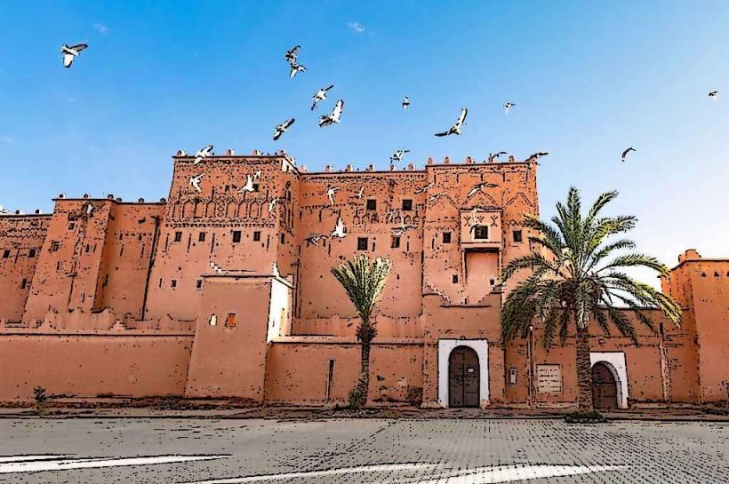
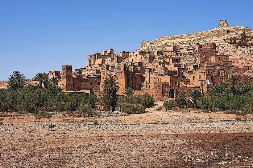
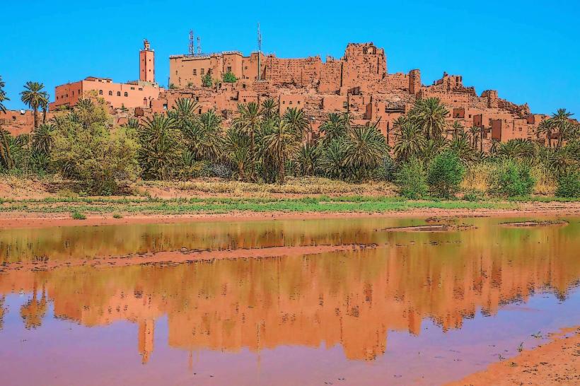
- Kasbah Ait Ben Haddou (15km Southwest)
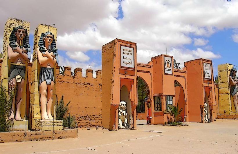
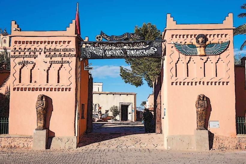
- Ouarzazate Film Studios (30km Southwest)
- Atlas Film Studio (30km Southwest)
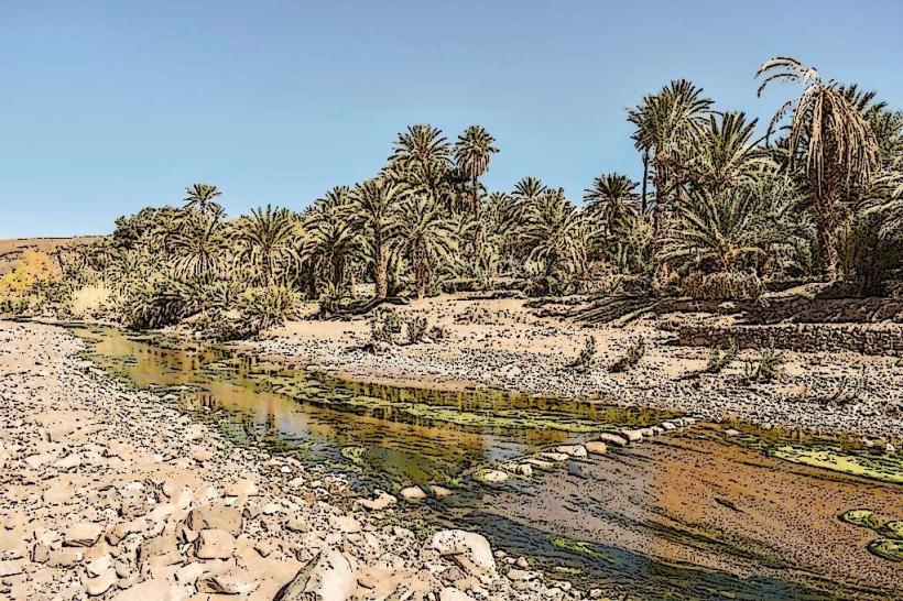
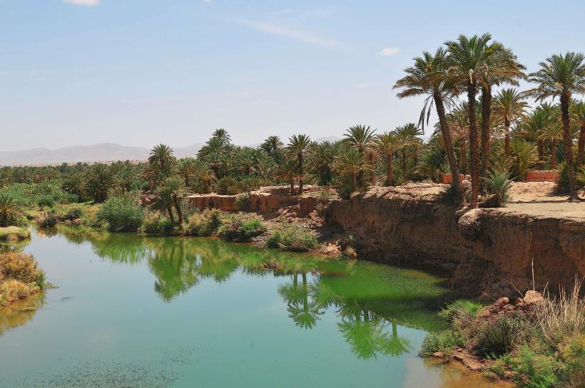
- Fint Oasis (35km Southwest)
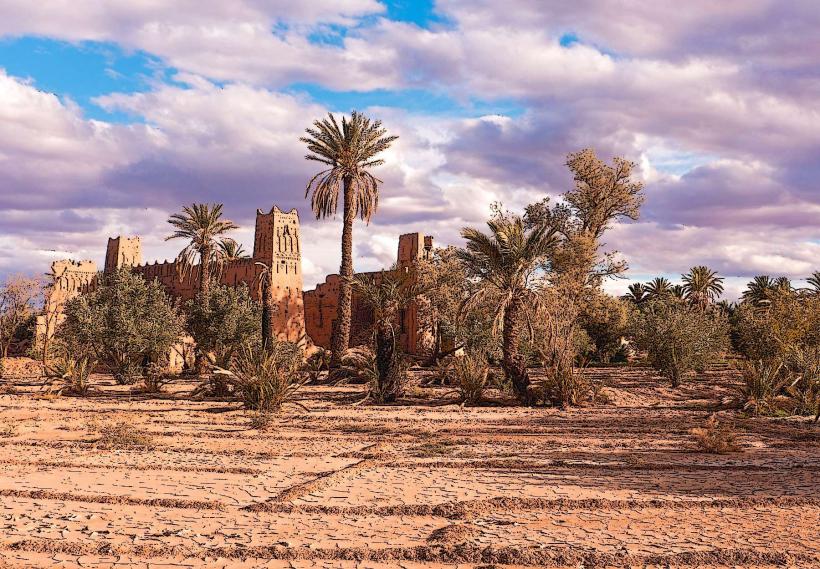
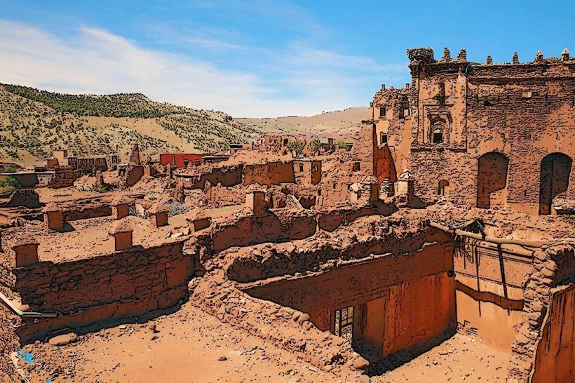
- Telouet Kasbah (10km Northeast)