Information
Landmark: Trou d'ArgentCity: Rodrigues Island
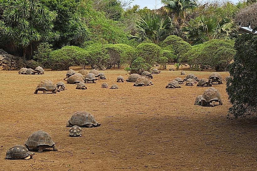
Country: Mauritius
Continent: Africa
Trou d'Argent, Rodrigues Island, Mauritius, Africa
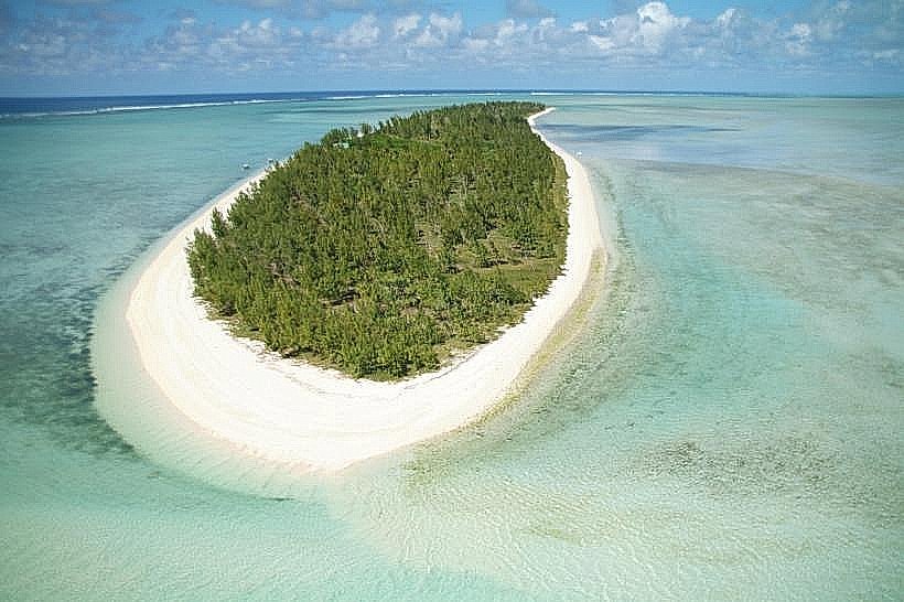
Trou d'Argent is a secluded beach and cove on the eastern coast of Rodrigues Island. It is frequently cited as one of the most aesthetic coastal locations in the Indian Ocean and is accessible only by foot.
Visual Characteristics
The site is a narrow inlet flanked by high limestone cliffs that form a natural gateway to a small, semicircular sandy beach. The water transitions sharply from clear turquoise in the cove to deep indigo beyond the reef. The surrounding terrain is arid and rocky, characterized by sharp coral rag (calcarenite) formations and sparse coastal shrubs.
Location & Access Logistics
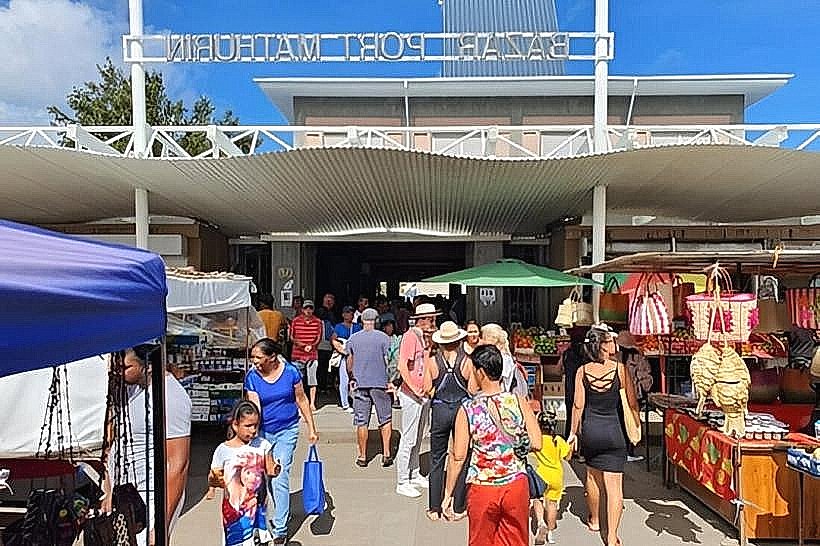
There is no road access to Trou d'Argent. Visitors must trek from either Pointe Coton (approximately 45 minutes North) or Graviers (approximately 60 minutes South). The trail from Pointe Coton is the most common route, following a marked coastal path over cliffs and through several smaller coves like Anse Bouteille. Rodrigues itself is reached via a 90-minute flight from Mauritius or a multi-day ferry. Local transport to the trailheads is available via bus or 4x4 rental from Port Mathurin.
Historical & Ecological Origin
The name "Trou d'Argent" (Silver Hole) originates from local legends suggesting a pirate treasure was hidden in a cave within the cliffs. Geologically, the area is part of the Plaine Corail formation, consisting of uplifted coral reefs. Ecologically, the cove is a protected site; the lack of infrastructure has preserved the reef health and the presence of various species of tropical fish and occasional nesting sea birds.
Key Highlights & Activities
Hiking: The coastal trek is the primary activity, offering panoramic views of the rugged eastern coastline.
Snorkeling: The cove provides a calm, naturally protected area for snorkeling, though visitors must bring their own equipment.
Photography: The "V" shaped cliff opening is a primary target for landscape photography.
Swimming: The beach is safe for swimming due to the natural barrier formed by the cliffs, which mitigates the heavy Indian Ocean swells.
Infrastructure & Amenities
There is zero infrastructure at Trou d'Argent. There are no restrooms, showers, trash bins, or food vendors. Cellular signal (4G) is intermittent and often drops to 2G or disappears entirely within the cove due to the high cliffs. Shade is limited to the shadows cast by the cliffs depending on the time of day. Visitors must carry out all waste and bring sufficient water.
Best Time to Visit
The optimal time to arrive is between 08:00 and 10:00 to avoid the midday heat and the small groups of tourists that arrive via guided treks. During the Rodrigues winter (June–August), the eastern trade winds can be very strong, making the coastal trek more challenging. High tide is best for swimming within the cove to ensure adequate water depth over the rocky floor.
Facts & Legends
Local lore maintains that the treasure remains undiscovered, hidden in a deep underwater cave that is only accessible during specific tidal conditions. A practical fact for hikers: the limestone rocks are exceptionally sharp; sturdy footwear is mandatory as flip-flops are insufficient for the jagged coral terrain.
Nearby Landmarks
Pointe Coton: 2.5km North (Trailhead)
Anse Bouteille: 0.8km North
Graviers: 3.5km South (Alternative trailhead)
Saint Francois Beach: 1.5km North
Grand Montagne Nature Reserve: 5.0km West (Inland)