Information
Landmark: Tsavo East National ParkCity: Voi
Country: Kenya
Continent: Africa
Tsavo East National Park, Voi, Kenya, Africa
Tsavo East National Park is a large protected area in southeastern Kenya, situated east of the Tsavo River.
It is one of Kenya's largest national parks, covering an area of 13,742 square kilometers.
Visual Characteristics
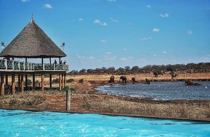
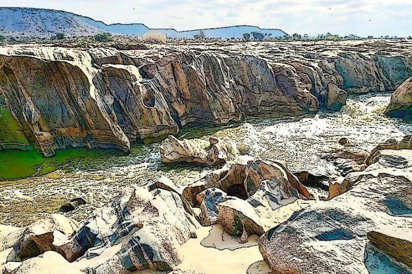
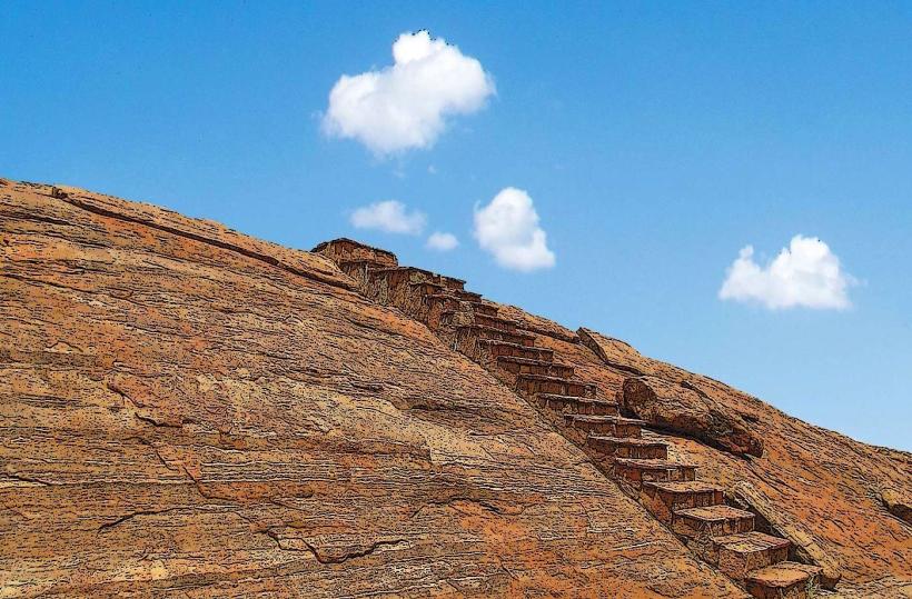
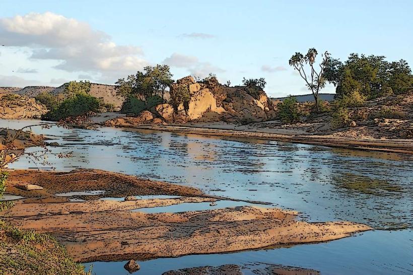
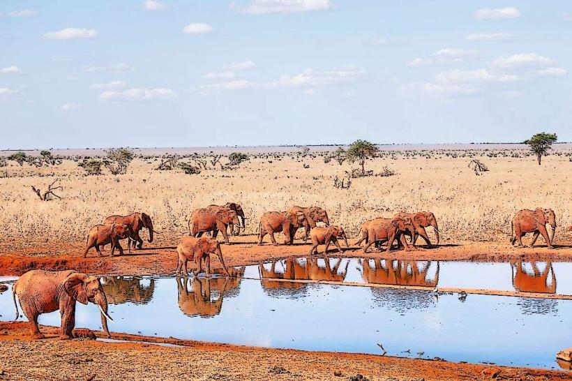
The landscape is characterized by semi-arid plains, acacia scrub, and open grasslands. Red-colored earth is a prominent feature, giving the vegetation a distinct hue. The park contains several large, dry riverbeds and the Galana River, which flows through the northern section. Rock kopjes, such as Lugard Falls and the Yatta Plateau, are notable geological formations. Wildlife is dispersed across the plains, with elephants, lions, and various antelope species commonly observed.
Location & Access Logistics
Tsavo East National Park is located approximately 300 kilometers southeast of Nairobi. The main entrance is the Bachuma Gate, accessible via the A109 Nairobi-Mombasa Highway. The distance from Voi town to Bachuma Gate is about 40 kilometers. Several other gates provide access, including Manyani, Aruba, and Sala. Parking is available at designated visitor centers and lodges within the park. Public transport to Voi is frequent via bus services from Nairobi and Mombasa. From Voi, private taxis or pre-arranged safari vehicles are required for park entry.
Historical & Ecological Origin
Tsavo East National Park was established in 1948 as part of the larger Tsavo National Park, which was later divided into East and West. Its ecological origin is primarily semi-arid savanna, shaped by geological processes that formed the Yatta Plateau, the world's longest lava flow. The park is a critical component of the Tsavo ecosystem, supporting a diverse range of flora and fauna adapted to arid conditions.
Key Highlights & Activities
Game drives are the primary activity, with opportunities to observe elephants, lions, leopards, cheetahs, rhinos, zebras, wildebeest, and numerous bird species. Specific points of interest include the Aruba Dam, a popular watering hole, and Lugard Falls, a series of rapids on the Galana River. The Yatta Plateau offers a unique geological feature for viewing. Birdwatching is significant, especially during the migratory season.
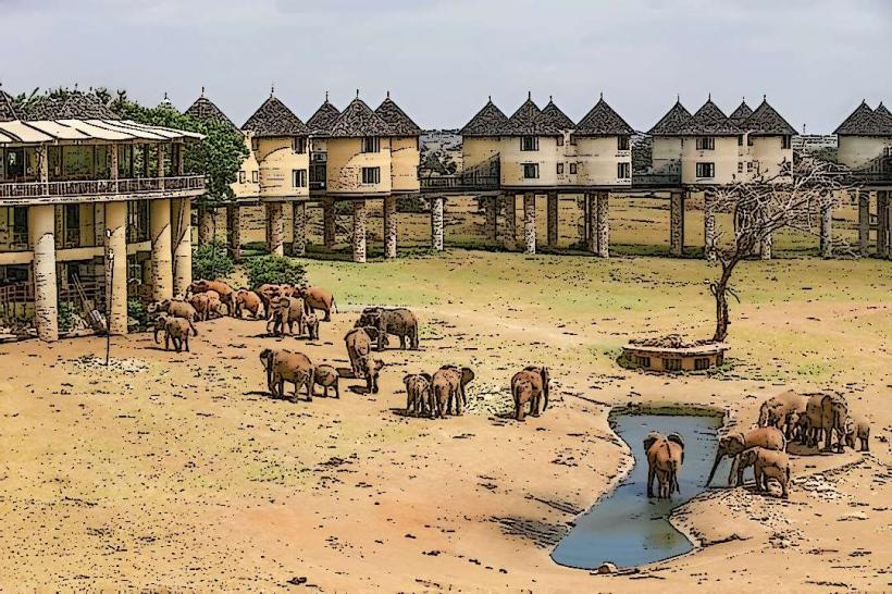
Infrastructure & Amenities
Basic infrastructure includes a network of dirt tracks for game drives. Designated picnic sites are available. Restrooms are located at the main gates and some lodges. Shade is limited in open savanna areas, but available at lodges and picnic sites. Cell phone signal is intermittent and generally unreliable within the park. Food vendors are typically found at lodges and camps, not at general park access points.
Best Time to Visit
The best time for wildlife viewing is during the dry seasons, from January to March and from June to October, when animals congregate around water sources. The early morning (6:00 AM to 9:00 AM) and late afternoon (4:00 PM to 6:30 PM) offer optimal lighting for photography and increased animal activity. There are no specific tide requirements as the park is inland.
Facts & Legends
Tsavo East is famously known for the "Man-eaters of Tsavo," a pair of lions that killed and devoured numerous railway construction workers in 1898. The Yatta Plateau, a 297-kilometer-long lava flow, is the longest lava flow in the world and a significant geological landmark within the park.
Nearby Landmarks
- Voi Wildlife Lodge 5km Southwest
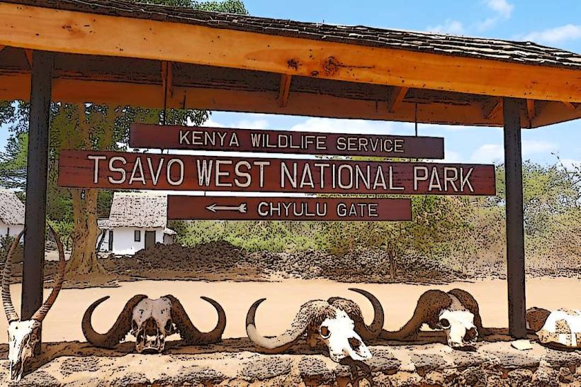
- Tsavo West National Park 30km West
- Mombasa 120km Southeast
- Taita Hills Wildlife Sanctuary 40km Southwest
- Kwale National Reserve 80km East