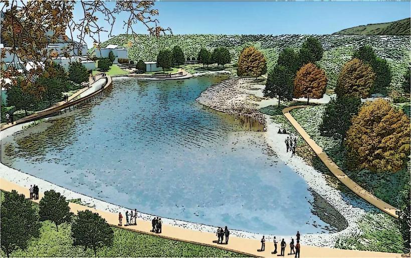
Information
Landmark: Valbona RiverCity: Puka
Country: Albania
Continent: Europe
Valbona River, Puka, Albania, Europe
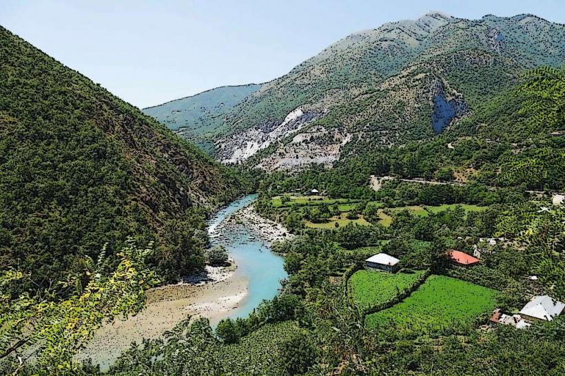
The Valbona River is a glacial-fed waterway located in the Tropojë District of northeastern Albania, not the Pukë District. It flows for approximately 50.6 kilometers through the Albanian Alps (Prokletije) before discharging into the Drin River at the Koman reservoir near Fierzë.
Visual Characteristics
The river is known for its high-transparency, bright turquoise water, which retains a low temperature year-round due to its alpine origin. The riverbed is primarily composed of white limestone gravel and large, water-worn boulders. In the upper valley, the river frequently disappears into subterranean limestone channels, only to resurface several kilometers downstream. The surrounding banks are lined with beech and pine forests and steep limestone cliffs.
Location & Access Logistics
The river is accessed via the SH24 road that runs through the Valbona Valley, originating from the town of Bajram Curri. Most travelers reach the area by taking the Lake Koman ferry from Koman to Fierza, followed by a 1-hour drive. From Shkodër, the total journey involves a 2-hour van ride, a 2.5-hour ferry, and a final 45-minute drive. There is no direct road link from the neighboring Theth Valley; access between the two is limited to a high-altitude hiking pass.
Historical & Ecological Origin
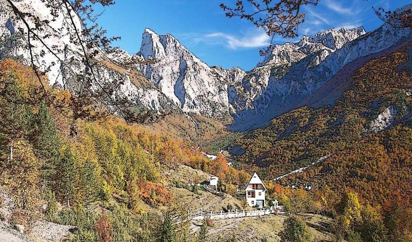
The Valbona River originates from karst springs on the southern slopes of Maja Jezercë, the highest peak in the Dinaric Alps. Its course was shaped by Quaternary glaciers, resulting in a classic U-shaped glacial valley. It is the primary hydrological feature of the Alps of Albania National Park and is ecologically critical for the endemic Ohrid trout and several rare riparian plant species.
Key Highlights & Activities
Fly fishing for native trout is a common activity, though strictly regulated within the national park boundaries. Kayaking and canoeing are possible in the lower sections where the flow is more consistent. The river provides multiple natural "swimming holes," though the water temperature rarely exceeds 10°C. A network of walking trails follows the riverbanks, connecting the stone villages of Rrogam, Valbonë, and Dragobi.
Infrastructure & Amenities
Modern infrastructure is limited to the vicinity of the villages. There are several stone bridges, including the Shoshani Bridge, which provides a viewpoint over the river canyon. Restrooms and food vendors are not found on the riverbanks but are available in the numerous guesthouses (kulla) located along the valley road. Cellular signal (4G) is generally available on the valley floor near the river.
Best Time to Visit
The best time for photography and water clarity is late spring (May-June) when snowmelt increases the river's volume. For hiking and river-side activities, July and August offer the most stable weather. During the autumn (October-November), the river is surrounded by vibrant foliage, while winter visits are restricted by heavy snow and ice that can partially freeze the river’s surface.
Facts & Legends
A unique hydrological oddity is the "disappearing" segment of the river near Rrogam, where the water flows entirely underground through a gritty limestone layer for approximately 5 kilometers before emerging again as a full stream. Local legend refers to the river as the "Spirit of the Accursed Mountains," and it is common for highlanders to attribute the water's extreme clarity to the "Ora"-the mythical mountain spirits of Albanian folklore.
Nearby Landmarks
Xhema’s Lake: 0.8km North
Valbona Waterfall: 4.5km West
Shoshani Canyon: 12.0km Southeast
Dragobi Cave: 6.0km Southeast
Maja Jezercë: 7.5km Northwest