Information
Landmark: Volga River EmbankmentCity: Samara
Country: Russia
Continent: Europe
Volga River Embankment, Samara, Russia, Europe
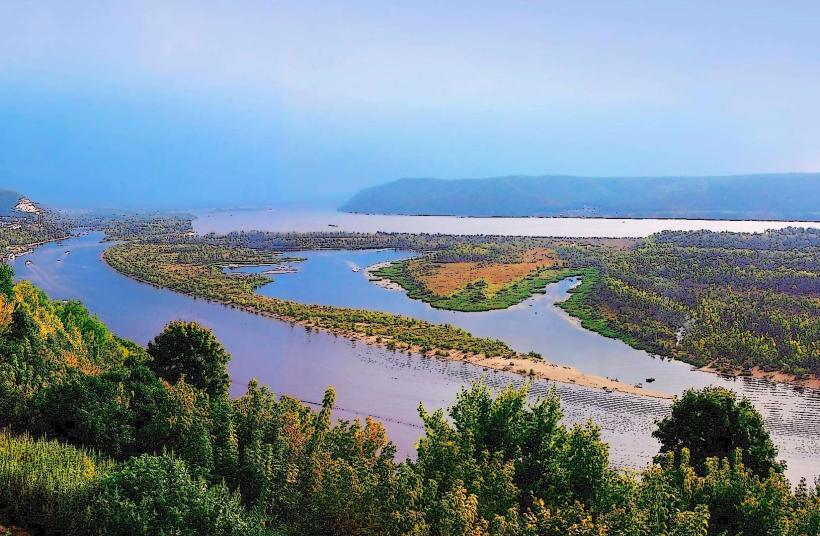
The Volga River Embankment in Samara, Russia, is a significant urban waterfront area along the Volga River.
It serves as a primary recreational and transit zone for the city.
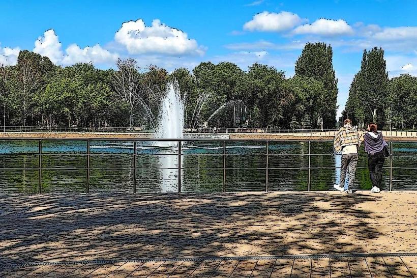
Visual Characteristics
The embankment is characterized by a multi-level design. The lower level, closer to the river, features a sandy beach and a promenade. The upper level is a paved walkway lined with trees, benches, and architectural elements such as lampposts and sculptures. The dominant materials are concrete, asphalt, and natural stone for retaining walls and decorative features. The width varies, with wider sections near central plazas and narrower stretches in residential areas. The river itself presents a broad expanse of water, its color changing with the seasons and atmospheric conditions.
Location & Access Logistics
The embankment extends approximately 5 kilometers along the right bank of the Volga River, beginning near the Samara River Port and stretching westward. It is directly accessible from the city center via numerous streets, including Volzhsky Prospekt and Ulitsa Stepana Razina. Vehicle access is restricted in certain pedestrianized zones. Public parking is available in designated lots along the perimeter, particularly near the River Port and major intersections, though it can be limited during peak seasons. Public transport options include trolleybus lines 6 and 16, and bus routes 2, 23, and 37, which stop at points along Volzhsky Prospekt, providing access to various sections of the embankment.
Historical & Ecological Origin
The development of the Samara embankment began in the late 19th century, with significant expansion and modernization occurring throughout the 20th century. Its original purpose was to manage the river's flow, facilitate port operations, and create a public space for residents. The embankment is built upon alluvial deposits of the Volga River, a major Eurasian river flowing through central Russia into the Caspian Sea. The ecological context is that of a large river system, supporting diverse aquatic life and influencing the local climate.
Key Highlights & Activities
Activities include walking, cycling on designated paths, and relaxing on the beach. Boat tours of the Volga River depart from the Samara River Port. Visitors can observe local and migratory bird species. Several cafes and kiosks operate along the upper promenade, offering refreshments. The embankment is also a venue for public events and festivals during warmer months.
Infrastructure & Amenities
Restrooms are available at intervals along the upper promenade, particularly near the River Port and public squares. Shaded areas are provided by mature trees and some covered seating structures. Cell phone signal (4G/5G) is generally strong throughout the embankment. Food vendors and cafes are present, offering a range of snacks and meals.
Best Time to Visit
For photography, early morning or late afternoon light offers optimal conditions, particularly during spring and autumn. The best months for visiting are from May to September, when temperatures are mild and outdoor activities are most feasible. High tide is not a significant factor for access or activity on the embankment itself, as it is engineered to manage river levels.
Facts & Legends
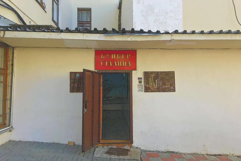
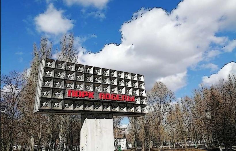
A notable feature is the "Stalin's Bunker," a secret command post constructed during World War II, located beneath the former NKVD building near the embankment. While not directly accessible to the public, its existence is a significant historical point. The embankment is also known for its extensive length, making it one of the longest urban river embankments in Russia.
Nearby Landmarks
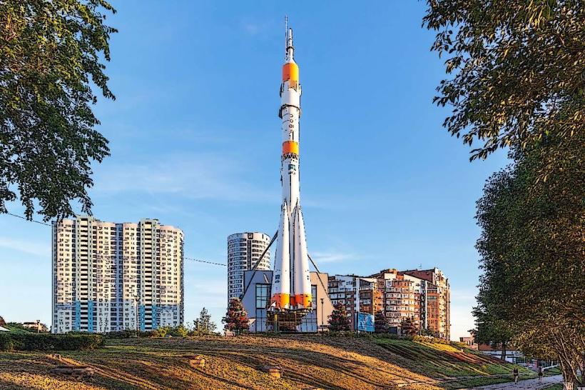
- Samara River Port (0.2km East)
- Stalin's Bunker (0.8km West)
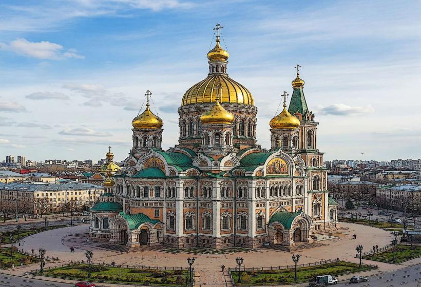
- Samara Regional Art Museum (1.1km Northwest)
- Chapaev Monument (1.5km West)
- Zhelezny Bridge (4.5km Southwest)