Information
Landmark: Waikato RiverCity: Hamilton
Country: New Zealand
Continent: Australia
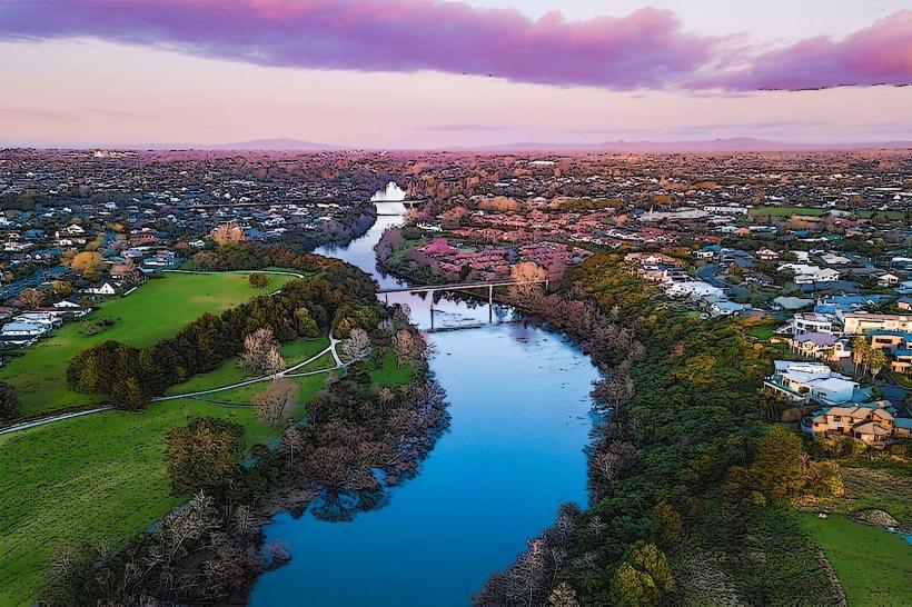
Waikato River, Hamilton, New Zealand, Australia
The Waikato River is New Zealand's longest river, flowing through the city of Hamilton in the North Island.
It originates in the central North Island and empties into the Tasman Sea at Port Waikato.
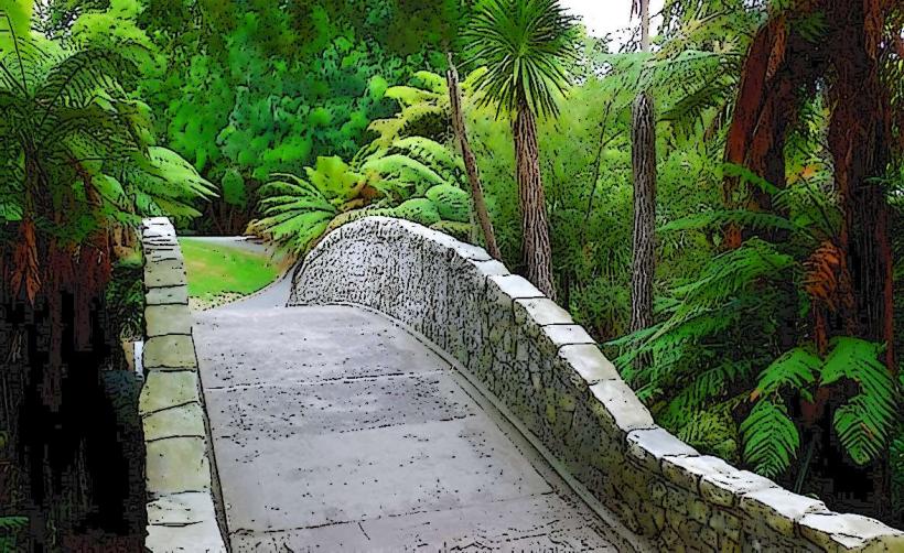
Visual Characteristics
The river's width varies significantly, from approximately 50 meters in narrower sections to over 200 meters in wider areas. Water color ranges from a muddy brown, particularly after rainfall, to a clearer, darker hue in drier periods. The riverbanks are characterized by a mix of urban development, parklands with established trees (primarily exotic species like poplars and willows), and agricultural land. In the Hamilton urban area, concrete retaining walls and jetties are common.
Location & Access Logistics
The Waikato River flows directly through Hamilton. Access points within the city are numerous. Major roads flanking the river include State Highway 1 (to the west) and various local arterial routes like Victoria Street and Grantham Street. Parking is available in numerous city car parks, with specific facilities near the Hamilton Gardens and the central business district. Public transport includes multiple bus routes that service the city center and areas adjacent to the river, such as routes 1, 2, and 3.
Historical & Ecological Origin
The Waikato River's geological origin is primarily fluvial, shaped by erosion and deposition over millennia. Historically, it was a vital transportation route and food source for Māori iwi (tribes), particularly the Waikato Tainui confederation. European settlement saw the river utilized for transport and power generation, with several hydroelectric dams constructed along its course upstream of Hamilton.
Key Highlights & Activities
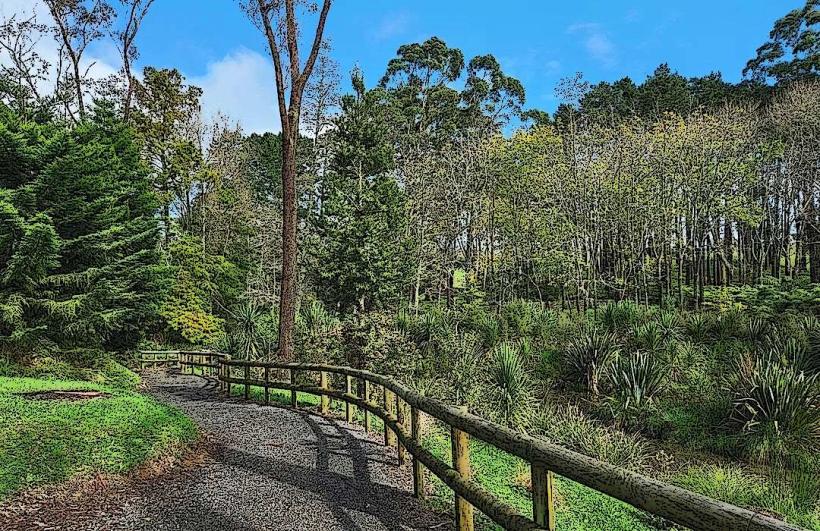
Kayaking and paddleboarding are possible on calmer sections of the river. Fishing for introduced species like brown trout and rainbow trout occurs. Walking and cycling paths are present along the riverbanks, notably the Waikato River Trails network. Boat tours operate from various points within Hamilton. Observation decks are situated at the Hamilton Gardens.
Infrastructure & Amenities
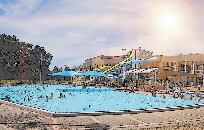
Restrooms are available at public parks and facilities along the river, including the Hamilton Gardens and Memorial Park. Shade is provided by mature trees in park areas. Cell phone signal (4G/5G) is generally strong throughout the urban sections of the river. Food vendors and cafes are located in the Hamilton central business district and at the Hamilton Gardens.
Best Time to Visit
For photography, early morning and late afternoon offer softer light. The best months for outdoor activities are typically from September to April, avoiding the cooler, wetter winter months. Water levels can fluctuate, particularly after heavy rainfall, which may affect some water-based activities.
Facts & Legends
A significant historical oddity is the Waikato River's role in the New Zealand Wars of the 1860s, where it served as a strategic boundary and transport route. Local Māori legends speak of the river being formed by the tears of a giantess.
Nearby Landmarks
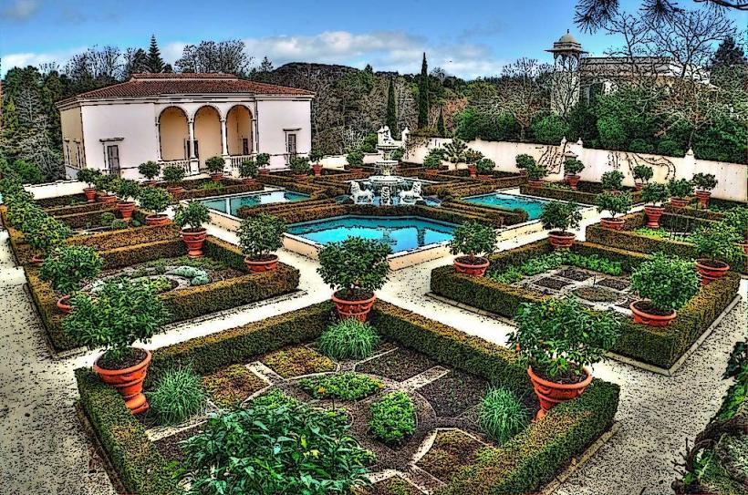
- Hamilton Gardens 0.2km East
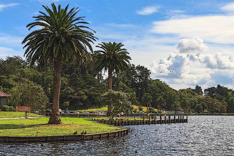
- Hamilton Lake (Lake Rotoroa) 1.5km South-West
- Claudelands Events Centre 1.0km North-East
- Victoria on the River (pedestrian bridge) 0.3km East
- Te Rapa Racecourse 3.5km North