Information
City: ArimaCountry: Trinidad and Tobago
Continent: North America
Arima, Trinidad and Tobago, North America
Arima serves as the "Royal Chartered Borough" and the primary gateway to the Northern Range and northeastern Trinidad. It is the fourth-largest municipality in the country, situated approximately 26 kilometers east of Port of Spain.
Historical Timeline
Founded in 1757 by Spanish Capuchin friars as a mission to convert the indigenous population, Arima is the only community in Trinidad and Tobago with a continuous and recognized Amerindian heritage. It was named after the Carib word for "water." The town was granted a Royal Charter by Queen Victoria in 1888. Historically, it functioned as the center of the cocoa industry during the late 19th-century agricultural boom.
Demographics & Population
The borough has a population of approximately 35,000. It is the spiritual home of the Santa Rosa First Peoples Community. The demographic is a mix of Afro-Trinidadians, Indo-Trinidadians, and individuals of Spanish/Amerindian (Panyol) descent. The median age is approximately 34 years.
Urban Layout & Key Districts
The borough is organized around a central commercial core that transitions into residential valleys.
Town Center: High-density retail zone centered on Arima Dial and Lord Kitchener Park.
Santa Rosa: A major residential and commercial suburb to the west.
Malabar: An expansive residential district to the south.
Calvary Hill: A high-elevation district to the north offering views of the borough.
Pinto Road: A residential area extending toward the industrial zones.
Top Landmarks
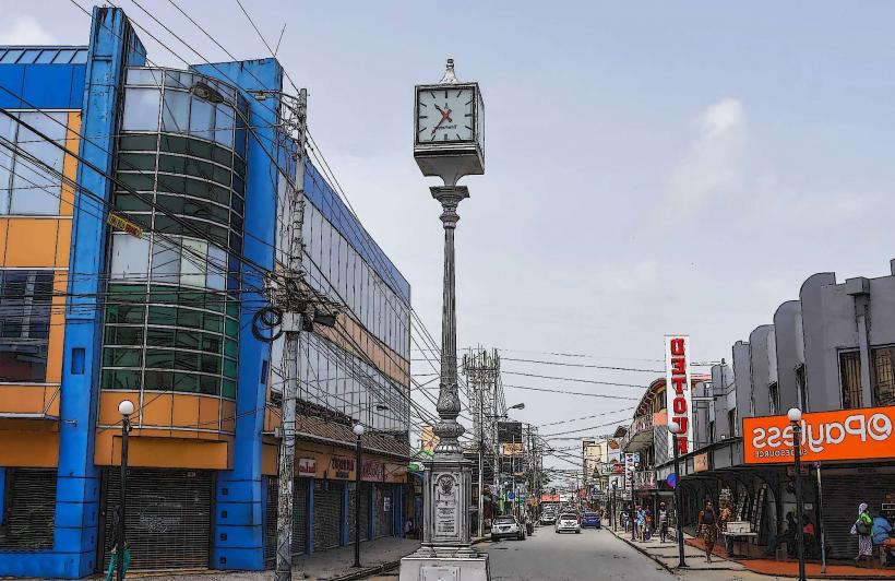
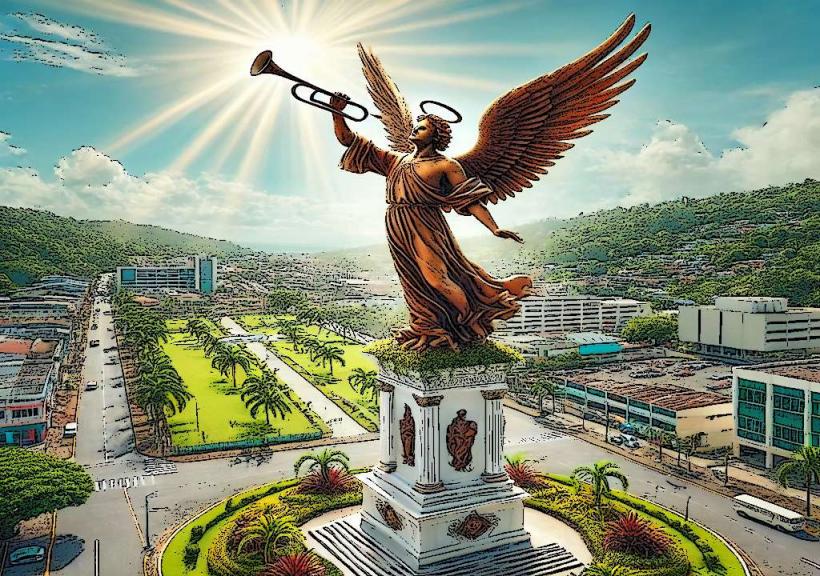
The Arima Dial: A silver clock tower located in the center of the main intersection; it is the town’s primary landmark and meeting point.
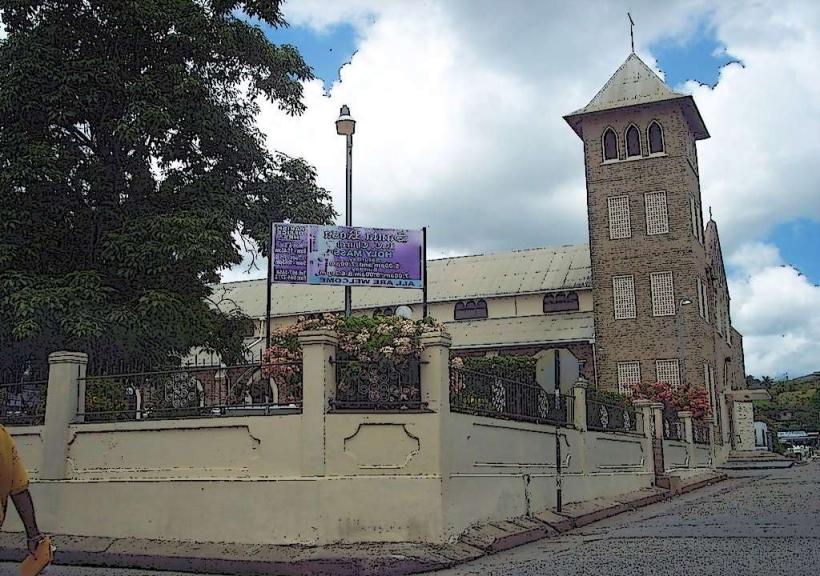
Santa Rosa Roman Catholic Church: A historic church serving as the center for the Santa Rosa Festival.
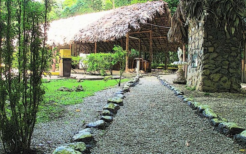
First Peoples Heritage Village: A site dedicated to preserving and showcasing Amerindian traditions.
Lord Kitchener Park: Named after the legendary calypsonian Aldwyn Roberts, who was born in Arima.
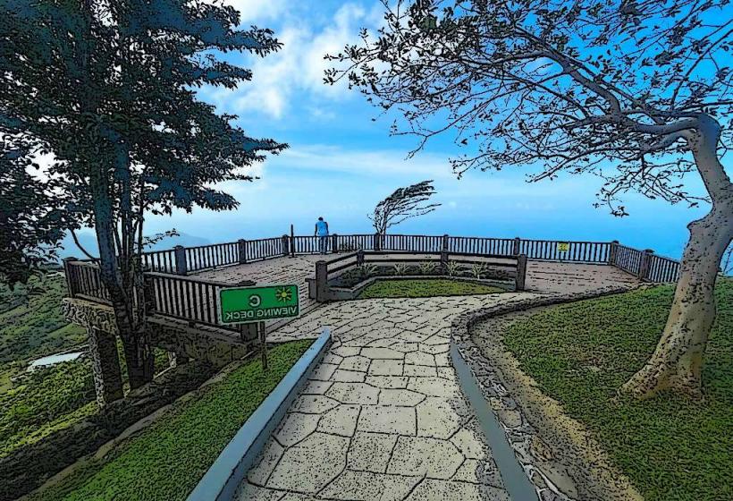
Asa Wright Nature Centre: Located 12 km north in the mountains; a world-renowned bird-watching and conservation site.
Transportation Network
Arima is a major transit hub for the East-West Corridor.
Maxi Taxis: Red-banded maxis connect Arima to Port of Spain (approx. 45–60 minutes).
Buses: PTSC operates routes from the central hub to Sangre Grande and the northern valleys.
Piarco International Airport: Located 8 km southwest of the town center.
Priority Bus Route (PBR): The western terminus is located nearby, providing rapid transit for authorized vehicles toward the capital.
Safety & "Red Zones"
Arima experiences moderate to high crime rates in specific peripheral areas. Avoid Pinto Road, Malabar (certain sections), and Mt. Pleasant after dark. Exercise caution in the Arima Market area during crowded periods due to pickpocketing. Use only "H" registered taxis. The town center is generally safe during business hours but desolates quickly after 7:00 PM.
Digital & Financial Infrastructure
High-speed fiber internet is standard in Santa Rosa and the Town Center. The economy uses the Trinidad and Tobago Dollar (TTD). As a major commercial center, ATMs are abundant along Broadway and in the Cunupia/Santa Rosa shopping plazas (e.g., Xtra Plaza).
Climate & Air Quality
The area has a tropical monsoon climate. Because of its proximity to the Northern Range, Arima receives more rainfall than Port of Spain or San Fernando. Air quality is generally high, though the town center can experience localized exhaust pollution during peak traffic hours.
Culture & Social Norms
Arima is noted for its distinct "Borough" pride and the annual Santa Rosa Festival (August), which honors the town's indigenous roots. It is also a historic center for Parang music (Spanish-influenced folk music played during Christmas). Dress is casual. Tipping is 10–15%.
Accommodation Zones
Santa Rosa / Pinto: Small guest houses and private rentals.
Northern Range Foothills: Eco-lodges and nature-oriented stays for birdwatchers.
Local Cost Index (TTD)
1 Espresso: 25–40 TTD
1 Standard Lunch (Roti/Creole): 45–100 TTD
1 Short Taxi Ride: 10–25 TTD
Nearby Day Trips
Asa Wright Nature Centre: For viewing the rare Oilbird and tropical biodiversity.
Lopinot Complex: 10 km (20 minutes), a historic cocoa estate with legends of the "Ghost of Compte de Lopinot."
Cleaver Woods: A recreational park and pine forest on the outskirts.
Facts & Legends
Arima is the only town in the Caribbean to have a "Carib Queen," a symbolic leader of the indigenous descendants. A local legend involves the "Arima Dial" never being perfectly in sync with Port of Spain time, representing the town's independent spirit. Historically, Arima was the terminus of the first railway line in Trinidad, opened in 1876.