Information
Landmark: Blanchisseuse Road LookoutCity: Arima
Country: Trinidad and Tobago
Continent: North America
Blanchisseuse Road Lookout, Arima, Trinidad and Tobago, North America
The Blanchisseuse Road Lookout is a roadside viewpoint located along the Blanchisseuse Road in the Northern Range of Trinidad.
It offers a vantage point for observing the surrounding mountainous terrain and the Caribbean Sea.
Visual Characteristics
The lookout itself is a paved pull-off area with a low concrete barrier. The primary visual element is the expansive view of dense tropical rainforest covering steep hillsides. The Caribbean Sea is visible in the distance, appearing as a blue expanse.
Location & Access Logistics
The Blanchisseuse Road Lookout is situated approximately 15 kilometers north of Arima, along the Blanchisseuse Road (also known as North Coast Road). Access is via private vehicle. Parking is limited to the roadside pull-off. No public transport services stop directly at this specific point.
Historical & Ecological Origin
The Blanchisseuse Road was historically developed to connect coastal communities with inland towns. The surrounding landscape is part of the Northern Range, a geologically ancient mountain range formed from sedimentary rocks. The area is characterized by tropical rainforest ecosystems.
Key Highlights & Activities
Observation of the panoramic landscape. Photography of the rainforest and coastline. Birdwatching is possible due to the diverse avian population in the Northern Range.
Infrastructure & Amenities
There are no dedicated facilities at the lookout. Restrooms, food vendors, and shops are not present. Cell phone signal (4G/5G) is generally unreliable in this mountainous region.
Best Time to Visit
For optimal lighting conditions for photography, early morning or late afternoon is recommended. The dry season, from January to May, generally offers clearer skies and less rainfall. The wet season (June to December) can result in obscured views due to fog and heavy rain.
Facts & Legends
The Blanchisseuse Road itself is known for its winding nature and steep inclines, requiring careful driving. Local lore sometimes speaks of the dense forest concealing various plant species with medicinal properties, though specific documented uses are not widely publicized.
Nearby Landmarks
- Maracas Bay Beach (10km Southwest)
- El Tucuche (8km Northwest)
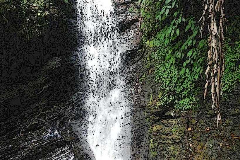
- Paria Falls (12km Northwest)
- Aripo Caves (18km Southeast)