Information
City: IndianapolisCountry: USA Indiana
Continent: North America
Indianapolis, USA Indiana, North America
Indianapolis is the capital and most populous city of Indiana, located in the center of the state within Marion County. Known as the "Racing Capital of the World," it is a planned city defined by its radial "Mile Square" design, its status as a major logistics hub, and its high-density sports and amateur athletics culture.
Historical Timeline
Inhabited by the Lenape (Delaware) and Miami people prior to the 1818 Treaty of St. Mary’s. Primary governance eras include its 1821 founding as a planned capital and its 1847 incorporation as a city. A critical historical event was the 1970 "Unigov" consolidation, which merged the city government with Marion County, dramatically expanding its tax base and physical footprint. The late 20th century was defined by a deliberate transition into a "sports destination" to counter Rust Belt decline, culminating in the 1982 establishment of the Indiana Sports Corp and the hosting of the 1987 Pan American Games.
Demographics & Population
The population is approximately 880,000 (Metro area ~2.1 million). The demographics are White (53%), Black or African American (28%), Hispanic or Latino (10%), and Asian (4%). It is a diverse metropolitan center with a strong manufacturing heritage and a rapidly growing workforce in the life sciences, insurance, and tech sectors (e.g., Salesforce).
Urban Layout & Key Districts
Indianapolis features a wheel-and-spoke layout centered on Monument Circle.
Mile Square: The central business district, containing the primary retail, government, and nightlife hubs.
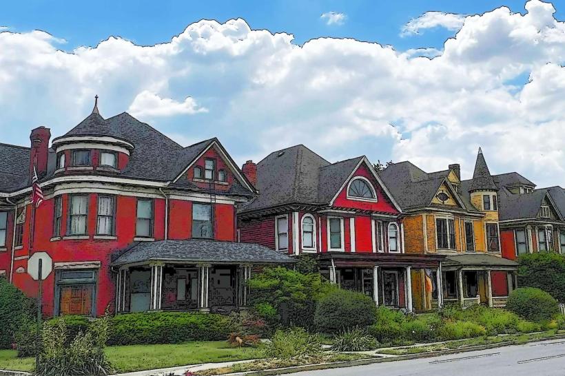
Broad Ripple: A vibrant, walkable cultural district north of downtown known for its independent boutiques, bars, and proximity to the Monon Trail.
Fountain Square: A historic, eclectic neighborhood south of downtown defined by its arts scene, vintage architecture, and "funky" commercial vibe.
Mass Ave (Massachusetts Avenue): One of the five original diagonal streets, now a premier destination for theater, high-end dining, and the Bottleworks District.
Speedway: An enclave town entirely surrounded by Indianapolis, home to the world-famous motor speedway.
Wholesale District: A historic area south of the Circle housing major sports venues and the Circle Centre Mall.
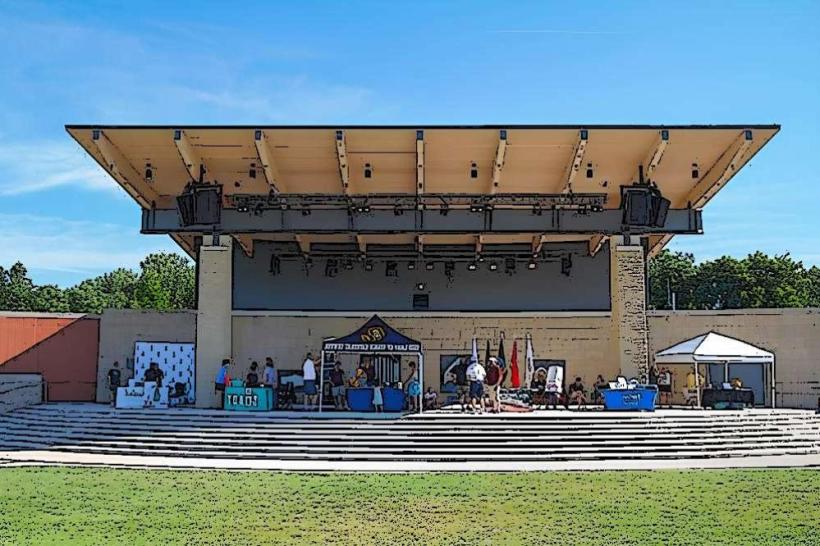
Top City Landmarks
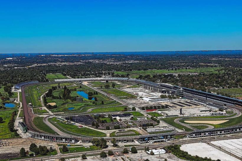
Indianapolis Motor Speedway: The world’s largest spectator sporting facility, home to the Indy 500.
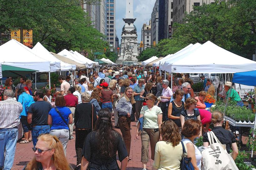
Soldiers & Sailors Monument: A 284-foot limestone structure at the city's center, serving as its spiritual and physical heart.
The Children’s Museum of Indianapolis: The largest children’s museum in the world.
Lucas Oil Stadium: Iconic retractable-roof stadium, home to the NFL’s Indianapolis Colts.
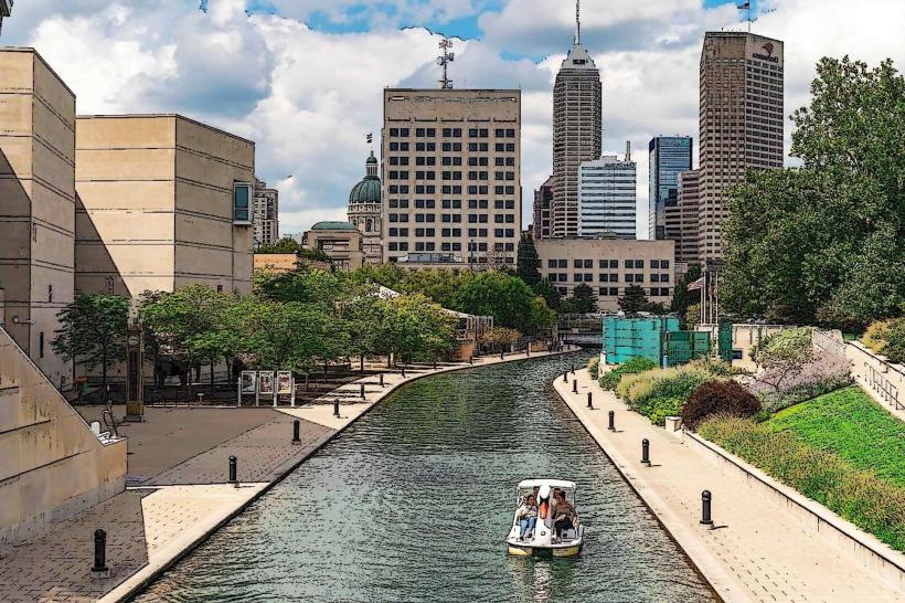
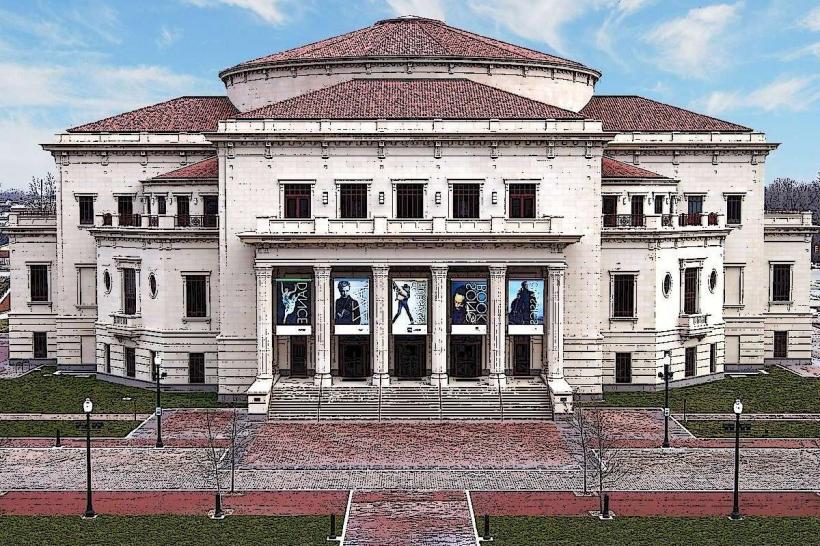
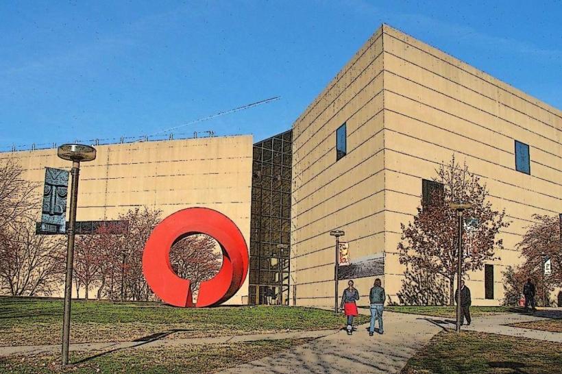
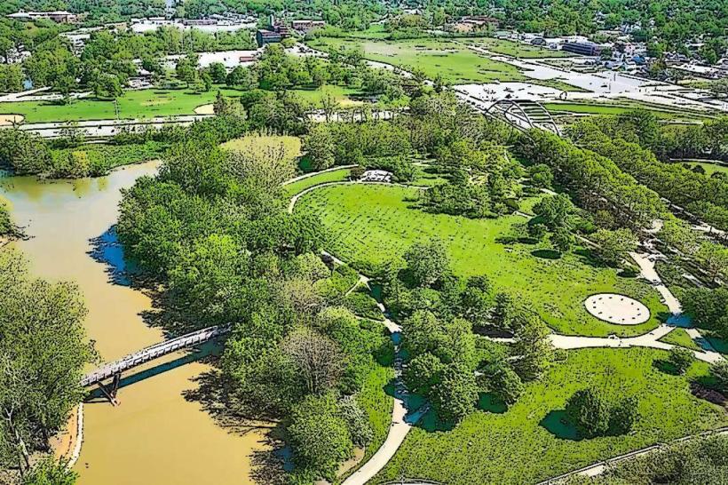
White River State Park: An urban state park housing the Indianapolis Zoo, Eiteljorg Museum, and the NCAA Hall of Champions.
Indiana War Memorial Plaza: A five-block district containing more monuments to veterans than any U.S. city outside of Washington, D.C.
Transportation Network
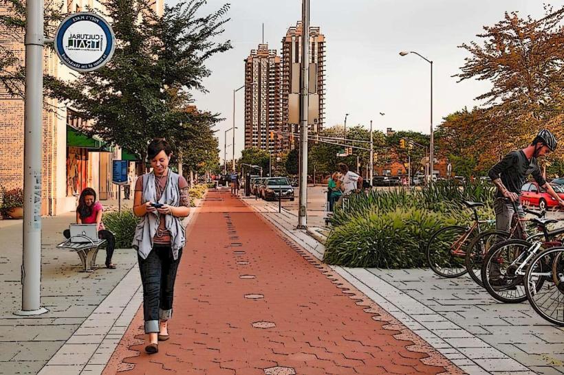
Movement is automotive-centric but supported by IndyGo (bus system). The city features the Red Line, a high-frequency electric Bus Rapid Transit (BRT) line. It is a major hub for I-65, I-70, I-74, and the I-465 beltway. Commercial air service is via Indianapolis International Airport (IND), frequently ranked as the best mid-sized airport in North America. The Cultural Trail is a world-class 13-km (8-mile) protected bike and pedestrian path connecting the downtown districts.
Safety & "Red Zones"
The general safety level is moderate. Property crime and vehicle-related theft are common in high-density areas. Caution is advised at night in parts of the Near Eastside (near 10th and Rural) and specific sectors of the Northwest side (near 38th and Post Road) due to higher rates of localized violent crime. There are no officially designated "red zones." Environmental hazards include severe thunderstorms and tornadoes (spring/summer) and significant lake-effect-style snow and ice during winter.
Digital & Financial Infrastructure
Internet speeds average 600+ Mbps with fiber availability via AT&T Fiber, Metronet, and Xfinity. Main mobile carriers are Verizon and AT&T. Card acceptance is universal. ATMs are concentrated in the Mile Square and commercial districts.
Climate & Air Quality
Temperatures range from -6°C to 2°C in winter and 19°C to 30°C in summer. The city experiences a humid continental climate with four distinct seasons. Air quality is moderate, periodically affected by regional agricultural activity and industrial emissions.
Culture & Social Norms
The standard tipping percentage is 18–25%. A handshake is the standard greeting. Dress codes are "Midwestern-Professional" or "Casual-Athletic." The city is culturally defined by its "Hoosier Hospitality," its obsession with basketball and auto racing, and its identity as a clean, efficient, and increasingly cosmopolitan regional capital.
Accommodation Zones
Mile Square (Downtown): Recommended for business, sports events, and nightlife.
Keystone Crossing: Recommended for high-end shopping and upscale hotel chains.
Speedway: Recommended for racing enthusiasts during the month of May.
Local Cost Index
1 Espresso: $4.50 (USD)
1 Standard Lunch: $18.00 (USD)
1 IndyGo Day Pass: $4.00 (Standard).
Nearby Day Trips
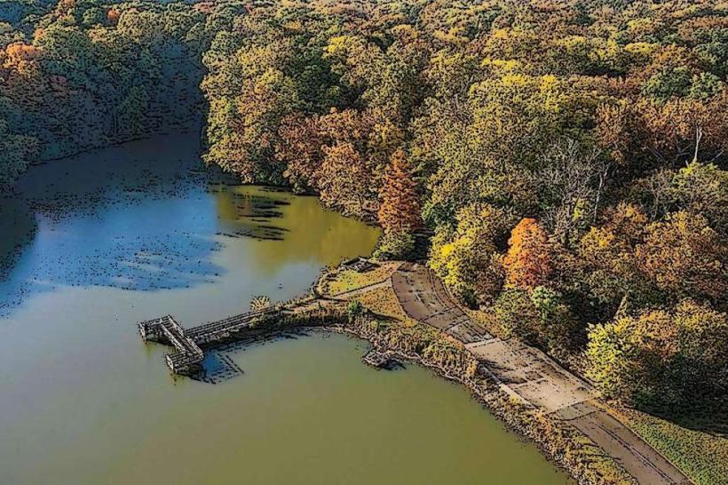
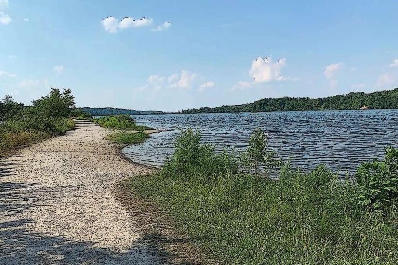
Brown County State Park: (90 km south; famous for autumn foliage and hiking).
Bloomington: (85 km south; home to Indiana University).
Indiana Dunes National Park: (240 km north; beaches on Lake Michigan).
Facts & Legends
Indianapolis is the second most populous state capital in the U.S. (after Phoenix). Historically, it was the site where Elvis Presley performed his final concert (Market Square Arena, 1977). A local legend involves the "Lady in Blue" at the Central Library, a rumored spectral librarian. Another legend concerns the "Secret Underground Tunnels" beneath the City Market, which were used for cold storage and rumored as part of the Underground Railroad.