Information
City: Namu AtollCountry: Marshall Islands
Continent: Australia
Namu Atoll, Marshall Islands, Australia
Namu Atoll is a coral atoll of 54 islands in the Ralik Chain of the Marshall Islands. It is defined by its long, slender shape-extending over 50 km in length-and its historical status as a major center for the production of high-quality coconut oil and preserved pandanus.
Historical Timeline
Inhabited for approximately 2,000 years; traditionally a strategic node for the Ralik Chain chiefs. A critical historical event occurred in 1568 when Spanish explorer Álvaro de Mendaña became the first European to sight the atoll. During the 19th century, it was a prominent site for German trading companies establishing the copra industry. In World War II, it served as a minor Japanese lookout post but was largely spared from the heavy bombardment seen at Kwajalein or Mili. In 2026, it remains a traditional community focused on sustainable artisanal industries and local governance.
Demographics & Population
The 2026 estimated population is approximately 800. The population is almost exclusively Marshallese. The economy is subsistence-based, driven by Copra production, Artisanal Fishing, and Pandanus processing (food and weaving).
Urban Layout & Key Districts
The atoll surrounds a 397-square-kilometer lagoon and is characterized by its narrow, elongated reef structure.
Namu Islet: The primary population center located at the northern tip of the atoll.
Mae: A major inhabited islet located on the eastern rim.
Loen: A population hub situated at the southern tip of the atoll.
Leuen: A central islet known for its fertile soil and traditional agricultural plots.
Top Landmarks
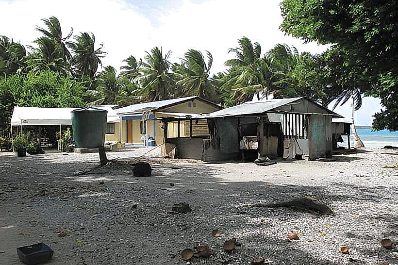
Namu Village: A traditional settlement featuring high-density coconut groves and coral-rubble paths.
Traditional Pandanus Ovens: Large earth ovens (um) specifically used for processing pandanus into mokwan (preserved paste), a staple of the local diet.
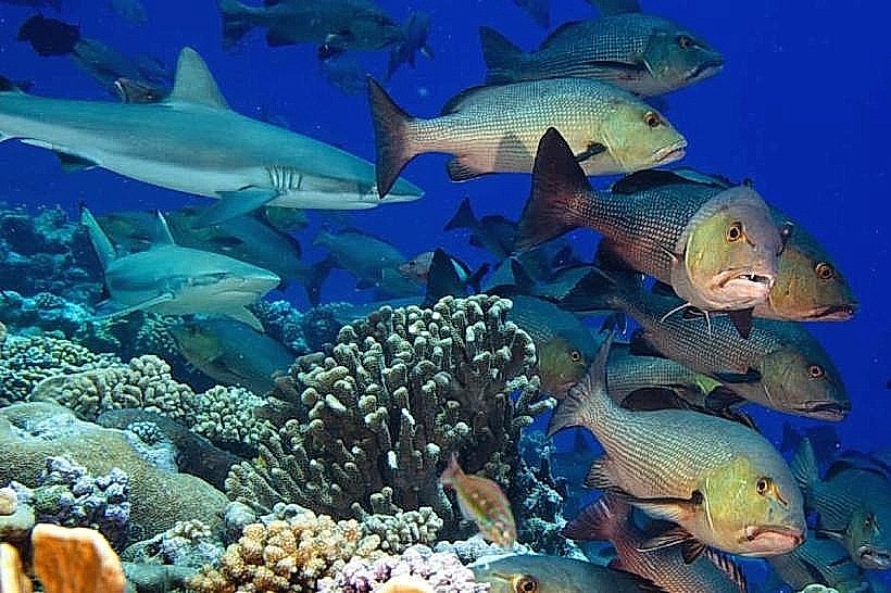
Namu Lagoon: Known for its vast, shallow interior sections which are ideal for traditional net fishing and shell gathering.
Historic Trading Sites: Locations on Mae where 19th-century German traders once maintained warehouses for copra storage.
Transportation Network
Movement between the main islets (Namu, Mae, Loen) requires motorized boat transit across the lagoon; the distance between the northern and southern tips is significant. Namu Airport (AMU) and Mae Airport (MAE) provide irregular domestic links to Majuro and Kwajalein via Air Marshall Islands. There are no paved roads. Inter-island transit is dependent on the monthly government supply ship or private maritime charters.
Safety & "Red Zones"
General safety is absolute. The community is communal and peaceful. Standard awareness is advised regarding lagoon travel; the atoll's length means that weather conditions in the north can differ from those in the south. Environmental hazards include intense UV radiation and limited potable water during the dry season.
Digital & Financial Infrastructure
Connectivity is negligible. No 5G or standard cellular data exists; communication is via VHF radio and very limited satellite-based Wi-Fi in government offices. U.S. Dollars (USD) are the only currency. The atoll is a cash-only economy; there are no ATMs or credit card facilities.
Climate & Air Quality
Tropical marine climate. Air quality is pristine. In 2026, rising sea levels have begun to impact the narrowest sections of the atoll, leading to increased saltwater overwash during king tides.
Culture & Social Norms
Tipping is not customary. The "Iokwe" greeting is essential. Dress codes are Strictly Modest; women must cover their knees. The culture is defined by Communal Food Preservation, Matrilineal Land Rights, and Oral Histories regarding the Ralik Chain's ancient navigational routes.
Local Cost Index
1 Standard Meal: $6.00–$10.00 USD (local fish and breadfruit).
1 Local Guest House Night: $40.00–$75.00 USD.
Nearby Day Trips
Lib Island: (Located 65 km west); a unique, single-island atoll without a lagoon, known for its freshwater pond and isolation.
Facts & Legends
Namu is historically famous for its pandanus, which is considered some of the best in the Marshall Islands for both eating and weaving. Historically, the atoll’s elongated shape made it a critical "landmark" for navigators sailing between the northern and southern Ralik Chain. A local legend tells of the spirit of the northern pass, which monitors the entry of canoes and requires travelers to remain silent while transiting to avoid disturbing the lagoon’s protector. Another fact: the atoll's name, "Namu," is shared with several other locations in the Pacific, but this atoll is the largest to bear the name.