Information
City: PanajachelCountry: Guatemala
Continent: North America
Panajachel, Guatemala, North America
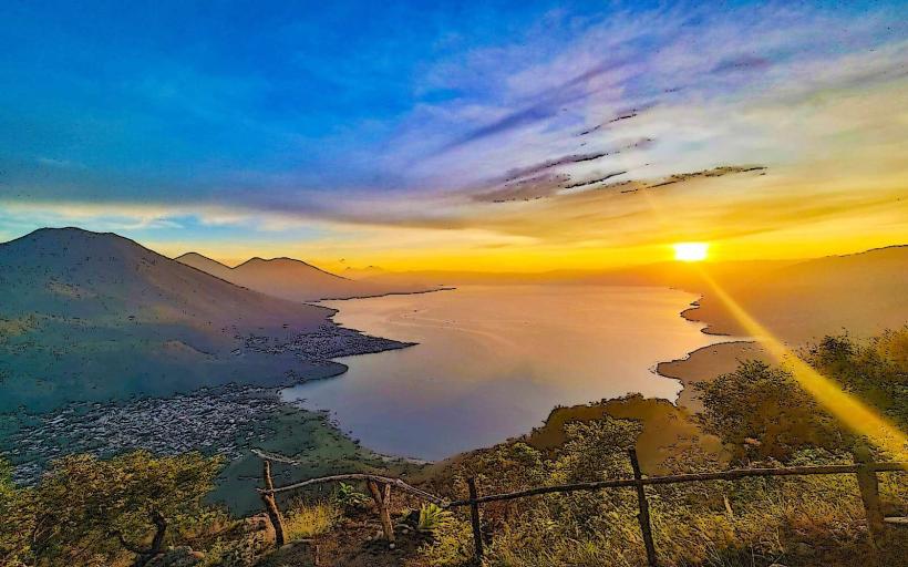
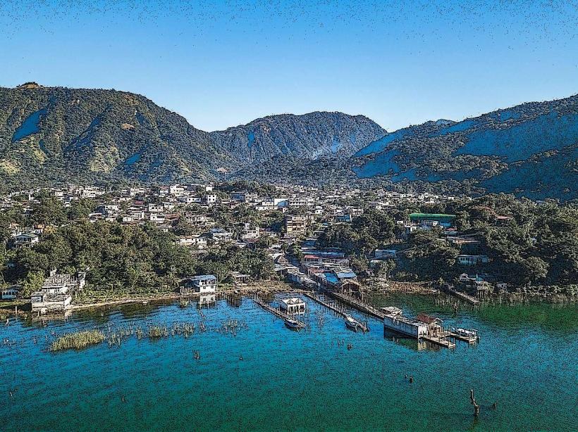
Panajachel is the primary logistical gateway and commercial hub of Lake Atitlán in the Sololá Department. It is situated on the northeast shore of the lake at an altitude of 1,597 meters, functioning as the main transit point for the diverse Mayan villages surrounding the volcanic basin.
Historical Timeline
Panajachel was the site of a significant 16th-century battle where the Spanish and their Cakchiquel allies defeated the Tzutujil Maya. It served as a Franciscan missionary center, evidenced by the 1567 construction of its central church. The primary era of modern governance began in the 1960s and 70s when the town became a global hub for the "hippie trail," fundamentally shifting the local economy from agriculture to international tourism. The 2005 passage of Hurricane Stan and 2010 Tropical Storm Agatha are the primary events that forced the reconstruction of its riverfront and the modernization of its drainage infrastructure.
Demographics & Population
The population is approximately 15,500. The demographics are a blend of Kaqchikel Maya (65%), Ladino (25%), and a permanent international expatriate community (10%). The median age of the population is 24.5 years.
Urban Layout & Key Districts
The town is organized along a main commercial axis, Calle Santander.
Calle Santander: The primary tourist artery running from the town center to the lakefront, containing the highest density of commerce.
Calle Principal: The traditional commercial street housing the public market and administrative buildings.
The Delta (River Area): The residential and agricultural zone near the Río Panajachel.
Jucanya: The district located across the river to the east, primarily residential and lower-density.
Top City Landmarks
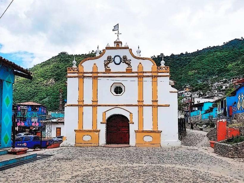
Church of St. Francis (Iglesia de San Francisco): A 16th-century colonial structure with a distinct weathered facade.
Calle Santander: The landmark shopping and dining promenade.
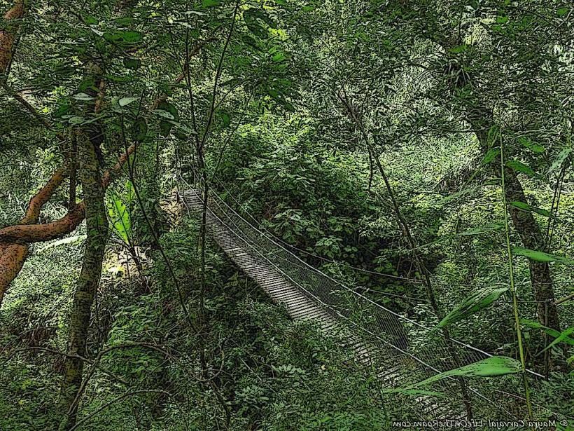
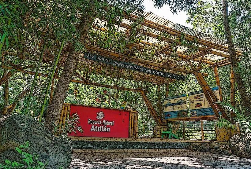
Atitlán Nature Reserve (Reserva Natural Atitlán): Located on the northern outskirts, featuring waterfalls and spider monkeys.
The Public Market: A hub for traditional highland produce and textiles.
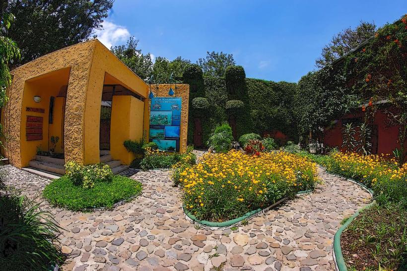
Museo Lacustre Atitlán: Houses archaeological artifacts found submerged in the lake.
Transportation Network
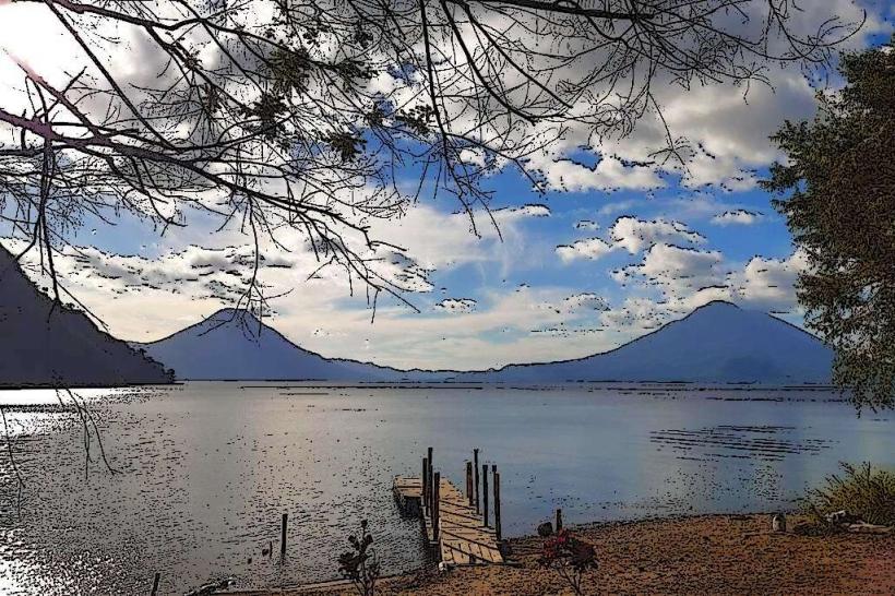
Movement within the town is dominated by tuk-tuks and walking. There is no metro or city bus system. Inter-village transit is conducted via lanchas (public boat taxis) departing from the Tzanjuyú or public docks. Uber has limited availability; private shuttles and "chicken buses" are the standard for transit to Antigua and Quetzaltenango. Traffic density is high on Calle Santander during weekend afternoons.
Safety & "Red Zones"
The general safety level is moderate. Visitors should avoid walking the "lower road" between Panajachel and Santa Catarina Palopó after dark due to reported robberies. There are no urban "red zones," but the area around the river delta can be isolated at night. Common scams include "overpriced private boats" offered at the docks; always use the public collective lanchas unless a private charter is required.
Digital & Financial Infrastructure
Average internet speed is 35 Mbps via fiber-optic. Main mobile carriers are Tigo and Claro. Card acceptance is high in hotels and larger restaurants on Calle Santander, but a 5% surcharge is common. ATMs (5B and BI) are ubiquitous on the main street. Cash (Quetzales) is mandatory for lanchas, markets, and tuk-tuks.
Climate & Air Quality
Temperatures range from 12°C at night to 25°C during the day. Panajachel experiences a "temperate highland" climate. Air quality is generally high, though dust from the riverbed can be an issue during the peak dry season (January–March). The primary weather risk involves sudden "Xocomil" winds that create dangerous swells on the lake in the late afternoon.
Culture & Social Norms
Tipping of 10% is standard in tourist restaurants. Greetings are essential; a verbal "Buenas" is expected when passing locals on side streets. Dress code is casual, but modest clothing is preferred when visiting the local church. Public behavior is generally tolerant due to the long history of international tourism.
Accommodation Zones
Lakefront/Calle Santander: Recommended for immediate access to boats, dining, and nightlife.
Upper Town (Near the Market): Recommended for a more authentic, quieter local experience and budget stays.
Local Cost Index
1 Espresso: Q20.00 ($2.60)
1 Standard Lunch: Q50.00 ($6.50)
1 Tuk-Tuk Trip (Within town): Q10.00 ($1.30)
Nearby Day Trips
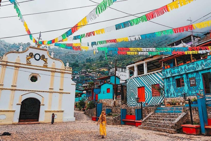
Chichicastenango Market: 37 km (1.5 hours - Thursdays and Sundays).
San Juan La Laguna: 30 mins by boat (Textile and art cooperatives).
Santiago Atitlán: 45 mins by boat (Shrine of Maximón).
Sololá: 8 km (20 mins - major traditional highland market).
Facts & Legends
A prominent local legend involves the Xocomil, a strong wind that blows across the lake in the afternoon; according to Maya lore, it is the spirit of the lake "cleansing" the waters of the day's sins. A verified historical oddity: during the mid-20th century, the lake level rose so significantly that several luxury villas and parts of the original lakeshore road were permanently submerged. Local divers still explore these "underwater ruins" near the Panajachel shoreline.