Information
Landmark: Indian Nose HikeCity: Panajachel
Country: Guatemala
Continent: North America
Indian Nose Hike, Panajachel, Guatemala, North America
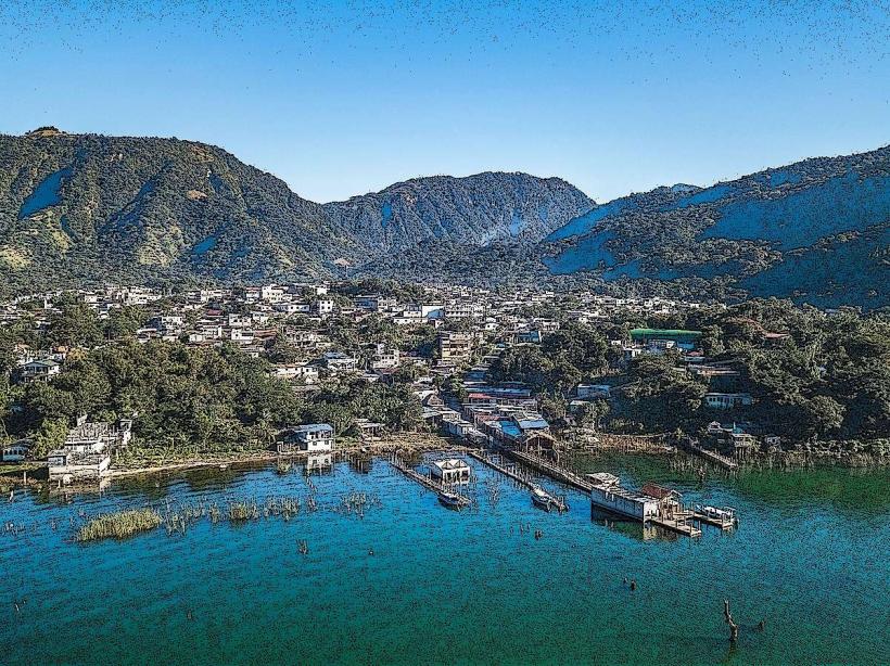
The Indian Nose Hike is a prominent geological formation offering panoramic views of Lake Atitlán. It is situated on the western shore of the lake, near the town of Panajachel, Guatemala.
Visual Characteristics
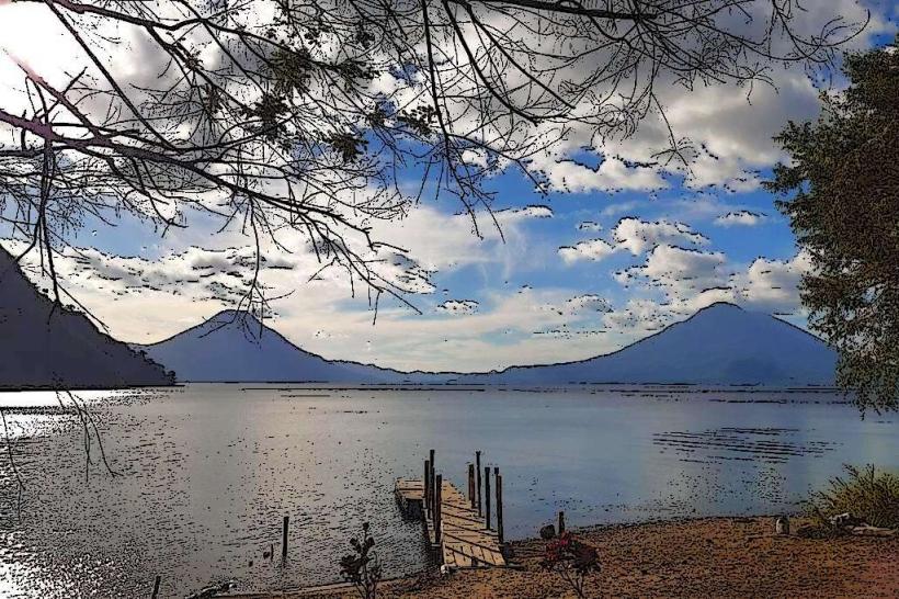
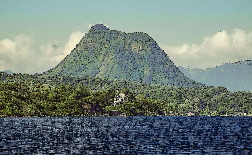
The formation is characterized by a ridgeline resembling a human profile. The slopes are covered in dense, green vegetation, primarily consisting of tropical trees and shrubs. The rock composition is volcanic in origin. The summit provides an unobstructed view of Lake Atitlán, its surrounding volcanoes (Atitlán, Tolimán, San Pedro), and the towns on the lake's shores.
Location & Access Logistics
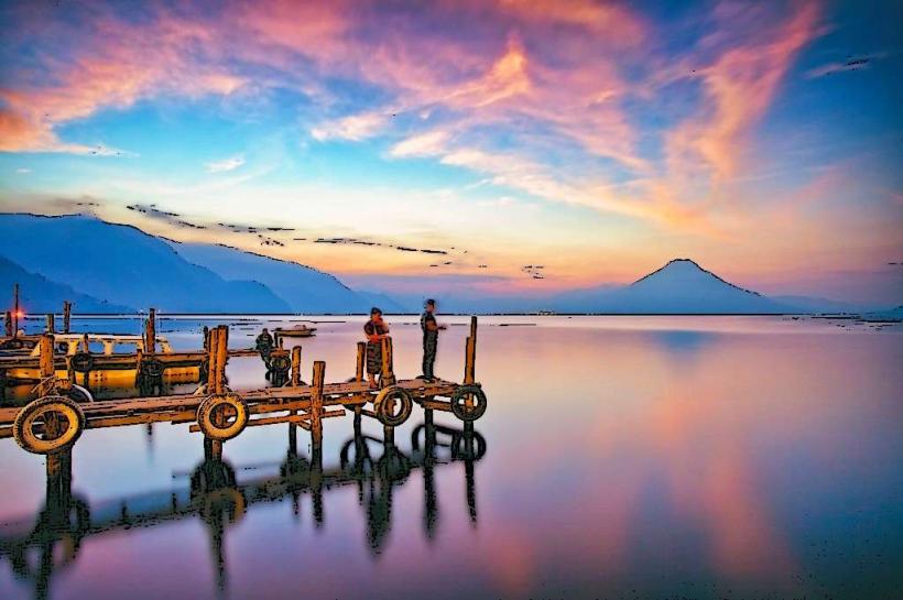
Access to the Indian Nose Hike trailhead is typically via boat from Panajachel. Boats depart from the main dock and travel to the village of San Juan La Laguna or Santa Clara La Laguna, which serve as common starting points. The boat journey from Panajachel to San Juan La Laguna is approximately 15-20 minutes. From these villages, a local guide is generally required to navigate the trails. The hike itself begins at an elevation of approximately 1,500 meters and ascends to the summit at around 2,100 meters. Parking is available at the Panajachel dock, with fees charged per vehicle.
Historical & Ecological Origin
The Indian Nose formation is a volcanic ridge, part of the larger geological complex surrounding Lake Atitlán. Lake Atitlán itself is a caldera lake, formed by a massive volcanic eruption approximately 84,000 years ago. The vegetation is characteristic of a tropical montane forest ecosystem.
Key Highlights & Activities
The primary activity is hiking to the summit for sunrise or sunset viewing. The trail involves moderate to strenuous ascents. Photography of the lake and volcanoes from the summit is a key draw. Local guides often share information about the flora and fauna encountered on the trail.
Infrastructure & Amenities
Basic amenities are limited on the trail itself. Restrooms are generally not available on the hike. Shade is provided by the natural tree cover along the lower sections of the trail. Cell phone signal is intermittent and unreliable at higher elevations. Food vendors are not present on the trail; provisions should be carried from Panajachel or the starting village.
Best Time to Visit
For optimal lighting and clear views, sunrise is recommended. The hike to the summit for sunrise requires starting in the pre-dawn hours. The dry season, from November to April, generally offers clearer skies and less rain. The wet season (May to October) can bring fog and rain, potentially obscuring views and making trails slippery. High tide is not a relevant factor for this terrestrial hike.
Facts & Legends
The formation is named for its resemblance to the profile of a reclining indigenous woman. Local legends vary, with some suggesting it represents a guardian spirit of the lake. A specific tip for visitors is to arrange a round-trip boat transfer in advance, especially for sunrise hikes, to ensure transportation back to Panajachel.
Nearby Landmarks
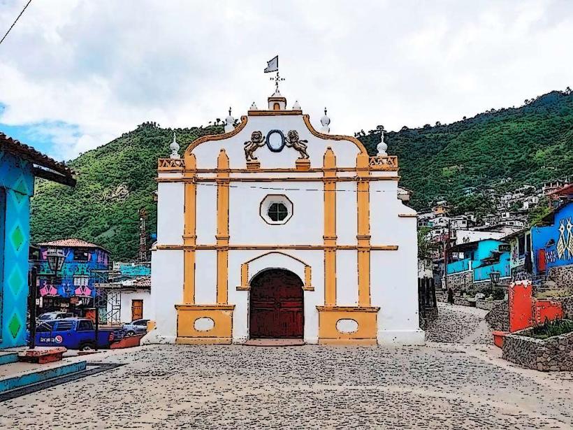
- 0.8km East: Panajachel Dock
- 1.5km Southwest: San Juan La Laguna Village
- 3.0km West: Santa Clara La Laguna Village
- 4.5km Southeast: Volcán Atitlán