Information
City: SalinaCountry: USA Kansas
Continent: North America
Salina, USA Kansas, North America
Salina is a critical regional trade and transportation hub located in North Central Kansas at the intersection of I-70 and I-135. It is positioned in the Smoky Hills region, approximately 10 km west of the confluence of the Saline and Smoky Hill Rivers.
Historical Timeline
Salina was founded in February 1858 by Col. William A. Phillips and a party of free-state settlers from Lawrence. It served as a trading post on the Smoky Hill Trail and was incorporated in 1870. The city experienced significant expansion during the 1940s and 1950s with the construction of Smoky Hill Army Airfield (later Schilling Air Force Base), which catalyzed the current industrial and aerospace economic sectors. The closure of the base in 1965 forced an economic pivot, leading to the establishment of the Salina Airport Industrial Center, which remains the primary driver of the modern urban form.
Demographics & Population
The 2026 estimated population within city limits is 46,109, with a county-wide population of approximately 53,500. The primary ethnic demographics are White (83.7%), Hispanic or Latino (13.5%), and Black or African American (4.2%). The median age is 37.4 years.
Urban Layout & Key Districts
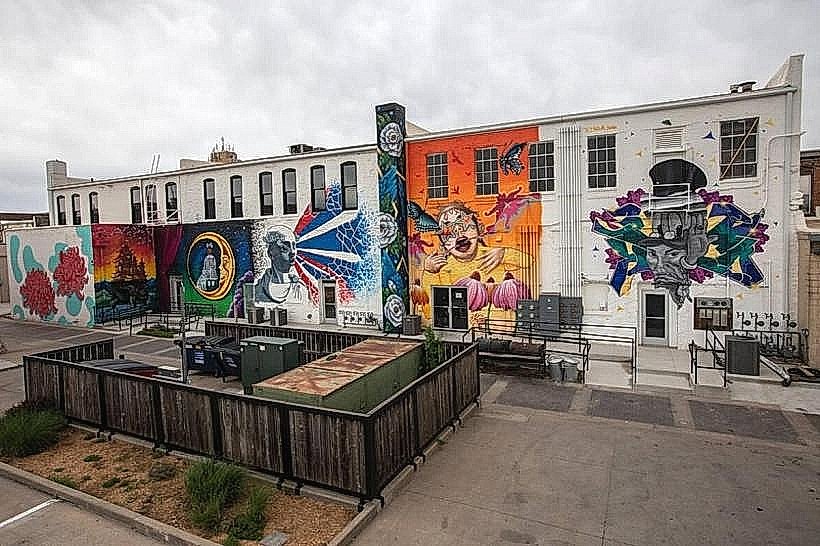
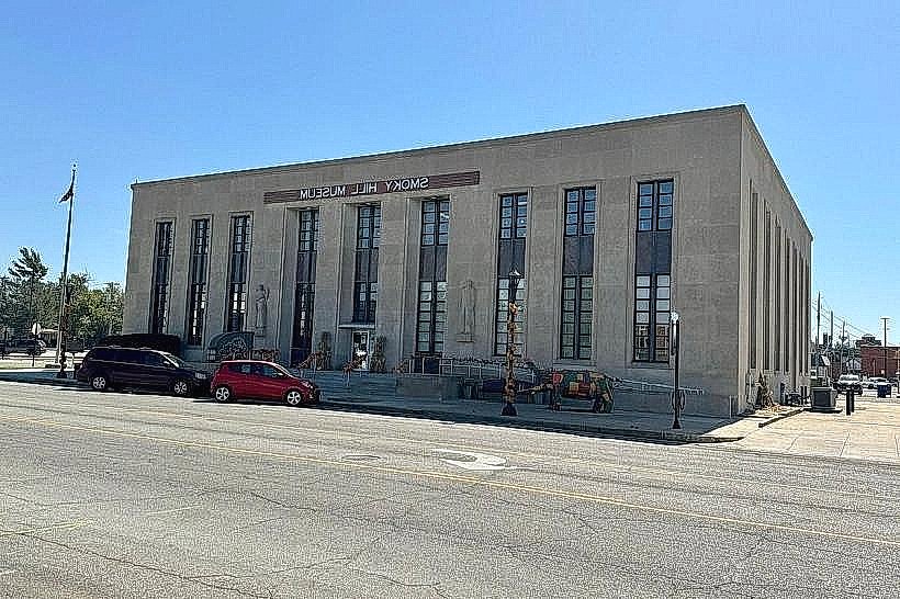
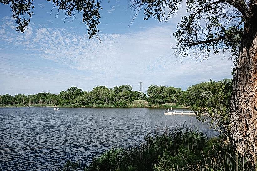
Salina is organized on a north-south grid centered on Santa Fe Avenue. The Downtown District (Central) contains the historic core and the Smoky Hill Museum; the University District (South) houses Kansas Wesleyan University and K-State Salina; and the Industrial District (Southwest) occupies the former Schilling Air Force Base site. The Smoky Hill River flows north-northeast through the eastern edge of the city.
Top City Landmarks
Smoky Hill Museum (Art Deco Post Office)
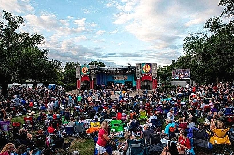
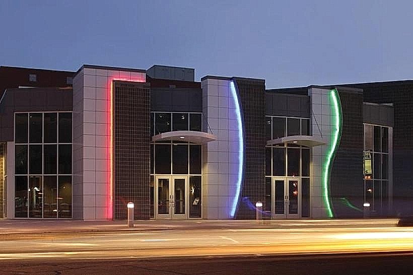
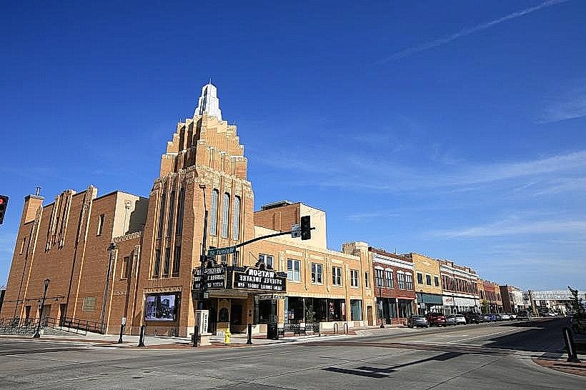
Stiefel Theatre for the Performing Arts
Tony’s Pizza Events Center
Christ Cathedral
Salina Fieldhouse
Transportation Network
Internal movement is facilitated by the Salina CityGo bus system, which operates five color-coded routes (Red, Blue, Purple, Green, Yellow) Monday through Saturday. Buses are easily identified by a green "organic" design. Ride-sharing via Uber and Lyft is the standard for non-transit travel. Local taxis are dispatched via private companies like Salina Taxi. Traffic density is low, with a mean commute time of 14 minutes.
Safety & "Red Zones"
The city is considered safe for visitors. There are no designated "no-go" zones, though standard urban caution is recommended in the older residential areas immediately east of the Downtown corridor at night. Property crime, specifically vehicle theft, is the primary statistical concern.
Digital & Financial Infrastructure
Average internet speeds range from 200 Mbps to 1 Gbps, with AT&T Fiber and Clearwave Fiber providing speeds up to 5 Gbps in select areas. Main mobile carriers include Verizon, T-Mobile, and AT&T. Card acceptance is universal in commercial zones. ATMs are densely located along Santa Fe Avenue and 9th Street.
Climate & Air Quality
Summers (June–September) are hot and humid, with high temperatures typically reaching 34°C (94°F). Winters (December–February) are cold and windy, with lows averaging -5°C (22°F). The region is prone to severe thunderstorms and tornado activity during spring. Air quality is consistently good (AQI < 50), with occasional haze from seasonal pasture burning in the Flint Hills to the east.
Culture & Social Norms
Tipping is standard at 18–20% in restaurants. Social interactions are characterized by Midwestern "neighborliness," involving direct eye contact and verbal greetings. Dress code is informal, often centered on agricultural or collegiate apparel. Smoking is prohibited in all public buildings; alcohol is sold in grocery stores (3.2% ABV) and liquor stores, with public consumption restricted to designated events.
Accommodation Zones
Downtown/Poyntz-Adjacent: Stay here for walking access to the Stiefel Theatre and historic dining.
South 9th Street Corridor: Stay here for proximity to national hotel chains and easy access to the I-135 interchange.
Local Cost Index
Espresso: $4.25 (¥640)
Standard Lunch: $14.50 (¥2,175)
Metro/Bus Ticket: $1.00 (Standard) / $2.00 (Day Pass)
Nearby Day Trips
Lindsborg (Little Sweden USA): 32 km (20 mins)
Abilene (Eisenhower Presidential Library): 43 km (30 mins)
Coronado Heights (Castle/Overlook): 35 km (25 mins)
Marquette (Smoky Valley Distillery): 45 km (35 mins)
Kanopolis State Park: 53 km (45 mins)
Facts & Legends
Salina is the subject of a localized urban legend regarding the "Iron Mound," a large hill to the southeast. Local lore suggests the mound is a dormant volcano or contains a massive iron meteorite that interferes with compasses and electronic equipment. While geologically a shale and sandstone butte, the myth persists due to the unusual dark-colored rocks found at the summit that resemble volcanic slag.