Information
City: Saut MathurineCountry: Haiti
Continent: North America
Saut Mathurine, Haiti, North America
Saut Mathurine functions as a pivotal ecotourism node and a strategic hydroelectric power source for the Sud Department of Haiti. It is situated within the commune of Camp-Perrin, approximately 20 kilometers north of Les Cayes in the foothills of the Massif de la Hotte.
Historical Timeline
The locality was formally integrated into the administrative structure of Camp-Perrin in the late 18th century during French colonial efforts to cultivate the fertile southern plains. The most significant modern infrastructure development occurred with the construction of the Bassin Mahaut hydroelectric plant, which stabilized the local power grid. The primary event shaping the current physical state of the area was the August 14, 2021 earthquake, which caused significant geological shifts and structural damage to the park's access facilities.
Demographics & Population
Saut Mathurine is a rural locality within the 3rd communal section of Camp-Perrin. The immediate area has an estimated population of 5,500, though it serves a broader communal population of approximately 46,000. The demographic is nearly 100% Afro-Haitian. The median age is approximately 22 years, consistent with the rural demographic trends of the Southern Peninsula.
Urban Layout & Key Districts
The settlement is organized around the Cavaillon River and the main access road leading from the center of Camp-Perrin. The Waterfall Zone serves as the primary landmark and economic district. Camp-Perrin Center, located to the south, serves as the logistical and commercial hub for visitors. The Bassin Mahaut district to the north is the critical industrial zone housing the hydroelectric infrastructure.
Top City Landmarks
Saut Mathurine Waterfall (The largest in Haiti by volume)
Bassin Mahaut Hydroelectric Plant
The Cavaillon River Gorge
Pic Macaya National Park (Southern entry point)
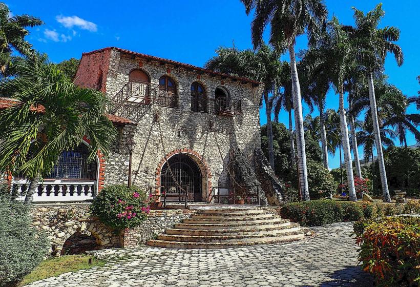
Eglise Sainte-Anne (In nearby Camp-Perrin)
Transportation Network
Movement within the area is strictly limited to 4x4 vehicles and moto-taxis due to the rugged, unpaved terrain. There are no metro or tram systems. "Tap-Taps" connect the base of the mountain at Camp-Perrin to Les Cayes. Official taxis do not operate in this zone; all transit is negotiated with local motorcycle operators. Traffic density is low, except on weekends and holidays when domestic tourism increases.
Safety & "Red Zones"
The area is considered one of the safest in Haiti for travelers. Physical safety risks are primarily environmental; avoid the riverbanks and the base of the falls during the hurricane season due to rapid flash flooding. The "Red Zone" involves the transit route through Martissant if traveling by land from Port-au-Prince, which should be bypassed via domestic flight to Les Cayes.
Digital & Financial Infrastructure
Internet speeds average 2–5 Mbps via Digicel and Natcom roaming. Card acceptance is non-existent. The local economy operates entirely on cash (Haitian Gourdes). There are no ATMs in Saut Mathurine; the nearest functional banking facilities are located 20 kilometers south in Les Cayes.
Climate & Air Quality
Temperatures range from 19°C to 31°C. The microclimate is significantly cooler and more humid than the coastal plains. Significant weather risks include heavy tropical downpours from June to November. Air quality is excellent due to dense forest cover and minimal industrial activity, though dust levels on the access road are high during the dry season.
Culture & Social Norms
The entrance fee to the waterfall park is a standard 250 HTG. Tipping local guides is expected (approximately 200–500 HTG). Standard greeting is a handshake or a nod with "Bonjou." Conservative dress is expected in the village, though swimwear is acceptable at the waterfall site. Public smoking is rare and generally discouraged.
Accommodation Zones
Camp-Perrin: Stay here for access to the few operational hotels and guesthouses with reliable electricity.
Les Cayes: Stay here for higher-end amenities and logistical proximity to the airport, visiting Saut Mathurine as a day trip.
Local Cost Index
1 Espresso (Local coffee): 150 HTG ($1.15 USD)
1 Standard Lunch (Local chicken/goat): 700 HTG ($5.30 USD)
1 Moto-Taxi from Camp-Perrin: 500–1,000 HTG ($3.80–$7.60 USD)
Nearby Day Trips
Pic Macaya: 15 km (3 hours via trekking/4x4), the second-highest peak in Haiti.
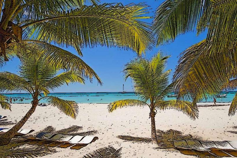
Gelee Beach: 28 km (1.5 hours), a famous coconut-lined beach in Les Cayes.
Île-à-Vache: 35 km (2 hours via boat from Les Cayes), a secluded island resort zone.
Facts & Legends
Local legend holds that the waterfall is named after a resident named Mathurine who supposedly discovered the falls while searching for lost livestock. A persistent urban myth among locals claims that the water of the falls possesses "living" properties that can heal physical exhaustion, provided the bather enters the pool before sunrise and leaves a small offering of coffee or bread on the limestone rocks.