Information
City: SoufriereCountry: Dominica
Continent: North America
Soufriere, Dominica, North America
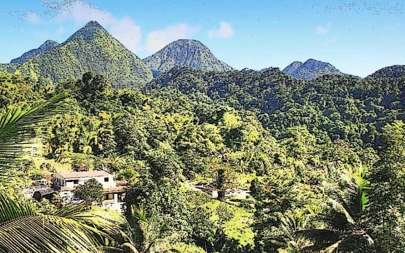
Soufrière is the administrative center of the Saint Mark Parish, situated within a volcanic crater submerged by the Caribbean Sea at the island’s southwestern tip. It serves as a strategic maritime gateway and a primary hub for Dominica's geothermal and ecotourism sectors.
Historical Timeline
Founded in the 17th century by French settlers, the village transitioned through French and British colonial administration until Dominican independence in 1978. The most significant architectural reconstruction occurred following the 2017 impact of Hurricane Maria. The 18th-century establishment of the citrus and lime industry, coupled with the village’s proximity to the Scotts Head maritime vantage point, remains the primary event that defined its current coastal urban form.
Demographics & Population
The village of Soufrière has a population of approximately 1,416. The Saint Mark Parish metropolitan area totals roughly 1,900. Top ethnic demographics are Afro-Dominican (89.2%), Mixed (7.4%), and Caucasian (1.2%). The median age of the population is 32.8 years.
Urban Layout & Key Districts
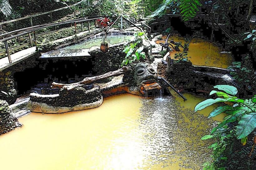
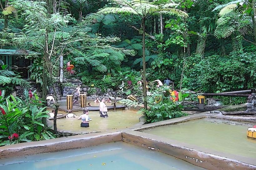
The village is organized linearly along the coastline of Soufrière Bay. The Waterfront District to the west contains the primary fishing infrastructure and the stone sea wall. The Sulphur Springs District to the east sits inland toward the base of the mountains, housing the geothermal vents. Scotts Head, the peninsula at the southern terminus, serves as the most critical geographical landmark for navigation.
Top City Landmarks
St. Mark’s Catholic Church (Stone architecture)
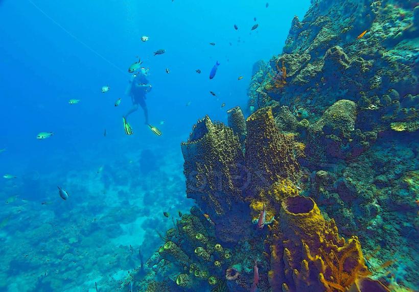
Bubble Beach (Geothermal ocean vents)
Scotts Head Pinnacle
L'Abym (The Abyss) marine drop-off
Transportation Network
Internal transit is primarily conducted on foot due to the compact nature of the village. Public minibuses (15-seaters) run frequently between Soufrière and Roseau. There are no metro, tram, or ride-sharing services. Official taxis are identifiable by "TX" on the license plate and are typically white or silver vans. Traffic density is negligible, though the single access road can be blocked by rockfalls or heavy rain.
Safety & "Red Zones"
The area is considered secure with a high level of community policing. There are no designated "red zones." Minor theft from unattended bags on the beach is the only reported frequent concern. Visitors should be cautious of strong currents at the Atlantic side of the Scotts Head isthmus.
Digital & Financial Infrastructure
Internet speeds average 30–60 Mbps. Flow and Digicel provide 4G LTE coverage. Card acceptance is moderate in dive shops but low in local eateries. There are no ATMs in Soufrière; the nearest cash machines are located 7 km north in the capital, Roseau.
Climate & Air Quality
Temperatures fluctuate between 23°C and 30°C. Air quality is exceptional, though a localized sulfur scent is persistent near the springs. The primary weather risk is the Atlantic hurricane season (June–November) and associated storm surges that impact the coastal road.
Culture & Social Norms
A 10% tip is standard in restaurants. Greetings are mandatory when entering a shop or passing residents; a verbal "Good morning" or "Good afternoon" is expected. Dress code is modest; walking through the village in swimwear is considered disrespectful. Alcohol consumption is common in village bars (rum shops) but public disorder is not tolerated.
Accommodation Zones
Stay in the Soufrière Waterfront for proximity to dive centers and marine access.
Stay in the Galion heights for panoramic views of the bay and cooler temperatures.
Local Cost Index
1 Espresso: 7.50 XCD ($2.78 USD)
1 Standard Lunch (Fish/Chicken with provisions): 30.00 XCD ($11.10 USD)
1 Minibus Ticket to Roseau: 4.00 XCD ($1.50 USD)
Nearby Day Trips
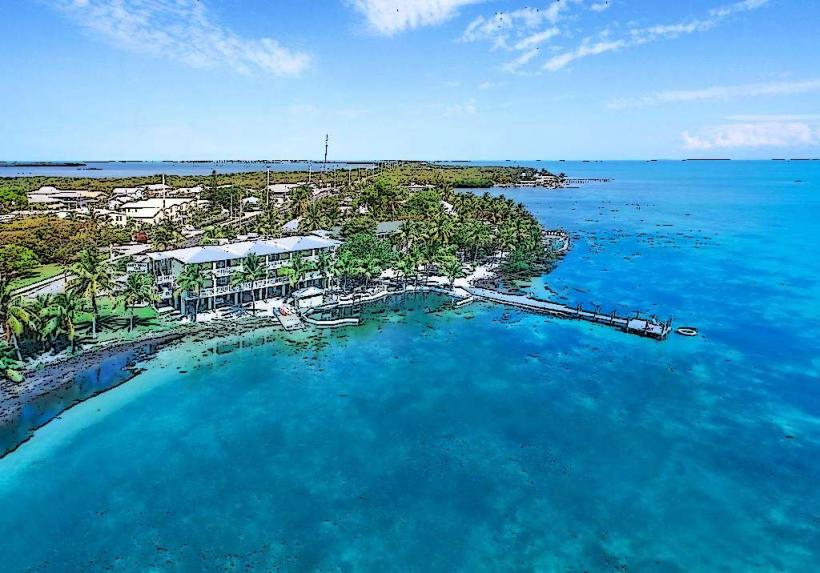
Champagne Reef: 4 km (8 minutes)
Roseau City Center: 7 km (15 minutes)
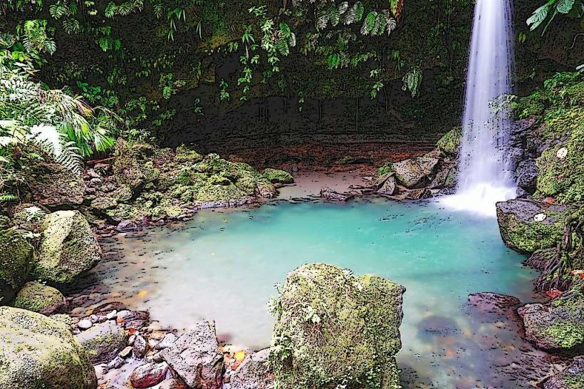
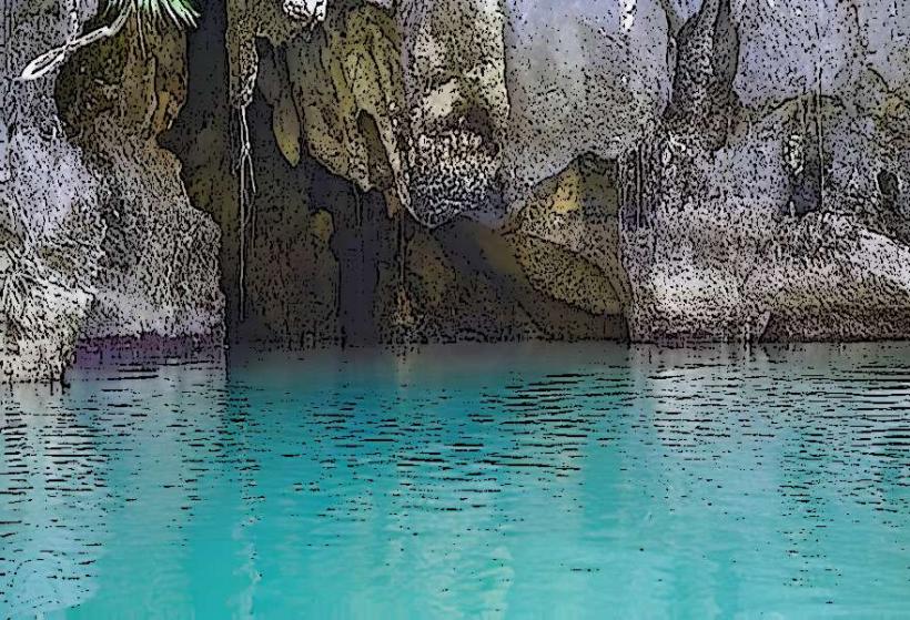
Titou Gorge: 16 km (40 minutes)
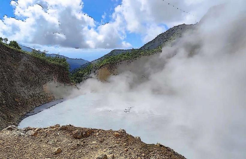
Boiling Lake Trailhead: 17 km (45 minutes)
Facts & Legends
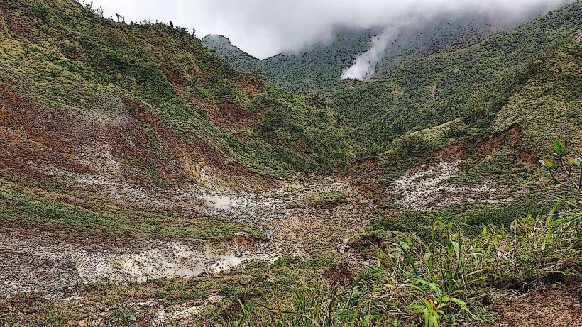
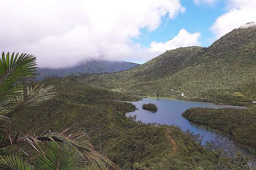
The village sits on the edge of a massive submerged volcanic caldera. Local legend tells of the "Socoyant," a supernatural being that sheds its skin at night to travel as a ball of fire; many older residents still place salt around their doorways to deter these spirits.