Information
Landmark: Crayfish BayCity: Soufriere
Country: Dominica
Continent: North America
Crayfish Bay, Soufriere, Dominica, North America
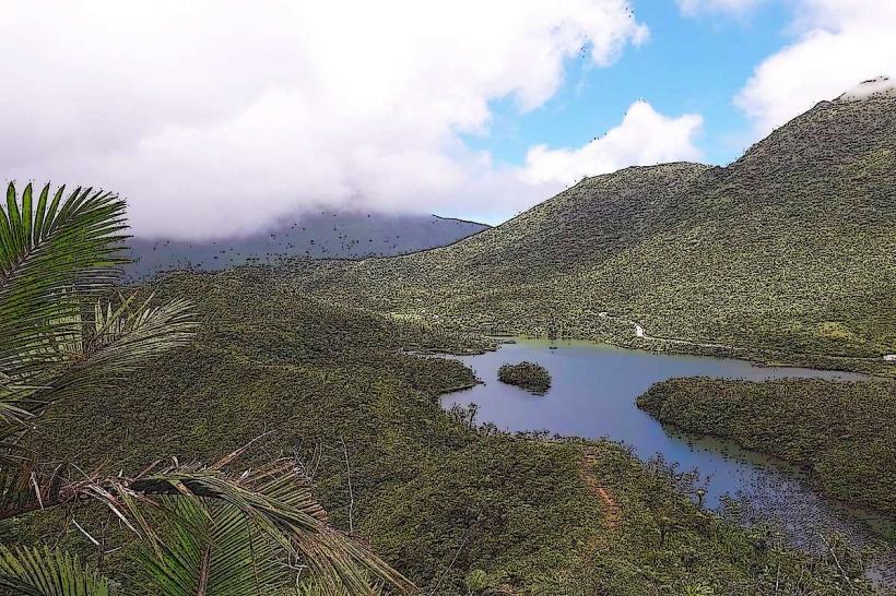
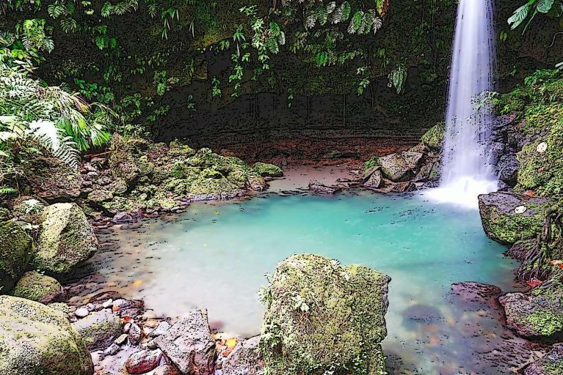
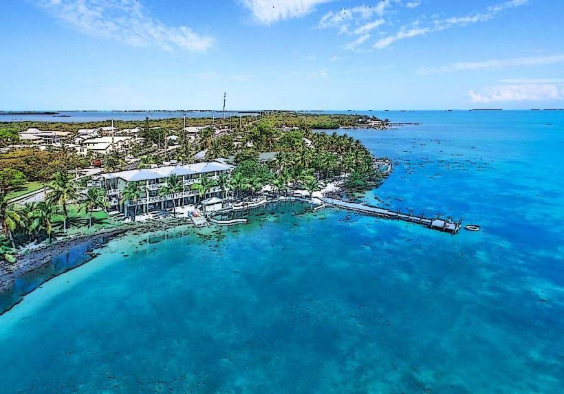
Crayfish Bay is a coastal area situated south of Soufriere on the island of Dominica. It is characterized by its rocky shoreline and clear waters.
Visual Characteristics
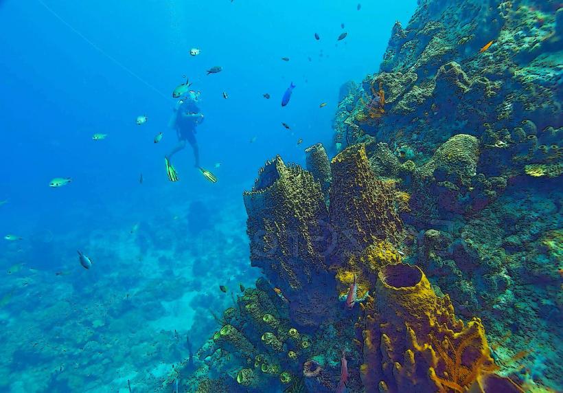
The bay features dark, volcanic rock formations along its perimeter. The water clarity is generally high, allowing visibility of the seabed. Sparse coastal vegetation, primarily low-lying shrubs and grasses, is present on the landward side.
Location & Access Logistics
Crayfish Bay is located approximately 3 kilometers south of the center of Soufriere. Access is via the main coastal road, the Edward Oliver Leblanc Highway. Parking is available on the shoulder of the highway adjacent to the bay. No public transport directly serves the bay; visitors typically arrive by private vehicle or taxi from Soufriere.
Historical & Ecological Origin
The bay is a product of volcanic activity, with its rocky features formed by ancient lava flows and subsequent erosion. Ecologically, it represents a typical Caribbean coastal zone with marine life adapted to rocky substrates.
Key Highlights & Activities
Snorkeling is possible in the clear waters, particularly around the submerged rocks. The area is suitable for observing marine invertebrates. No formal trails or designated activity areas are present.
Infrastructure & Amenities
There are no permanent structures or amenities at Crayfish Bay. Restrooms, shade, and food vendors are not available at the site. Cell phone signal (4G/5G) is generally present but can be intermittent due to the coastal topography.
Best Time to Visit
The best time for visibility for snorkeling is during daylight hours, from approximately 9:00 AM to 4:00 PM. The dry season, from January to May, offers the most consistent weather conditions with minimal rainfall.
Facts & Legends
Local fishermen sometimes refer to the bay as a reliable spot for spotting certain types of reef fish, though it is not a designated fishing ground. The name "Crayfish Bay" is attributed to the historical presence of spiny lobsters in the surrounding waters.
Nearby Landmarks
- Scott's Head National Park (1.2km South)
- Soufriere Bay (2.8km North)
- Champagne Reef (3.5km North)
- Morne Trois Pitons National Park (4.5km Northeast)