Information
City: State CollegeCountry: USA New York
Continent: North America
State College, USA New York, North America
State College is the primary municipal center of the Happy Valley region and the principal location for the Pennsylvania State University (Penn State). It is situated in the Nittany Valley of Central Pennsylvania, approximately 140 km east of Pittsburgh and 230 km northwest of Philadelphia.
Historical Timeline
State College was settled in 1859 to support the Farmers' High School of Pennsylvania, which later became Pennsylvania State College. The town was officially incorporated as a borough on August 29, 1896, after 28 residents voted to retain the name "State College" over "University Heights." The most significant architectural and political reconstruction occurred during the post-WWII expansion (1945–1960), which transformed the small village into a high-density educational hub. The transition of the college into The Pennsylvania State University in 1953 is the primary event that solidified the current urban form and economic trajectory.
Demographics & Population
The population within the borough limits is approximately 40,500, though the State College metropolitan area (Centre County) exceeds 158,000. The top three demographics are White (78.3%), Asian (11.1%), and Hispanic/Latino (4.5%). The median age is 21.4 years, heavily skewed by the student population.
Urban Layout & Key Districts
The city is organized on a grid adjacent to the southern boundary of the Penn State University Park Campus. Downtown is the primary commercial district, located immediately south of College Avenue. The Highlands to the southeast and College Heights to the northwest are the principal residential and historical zones for visitors.
Top City Landmarks
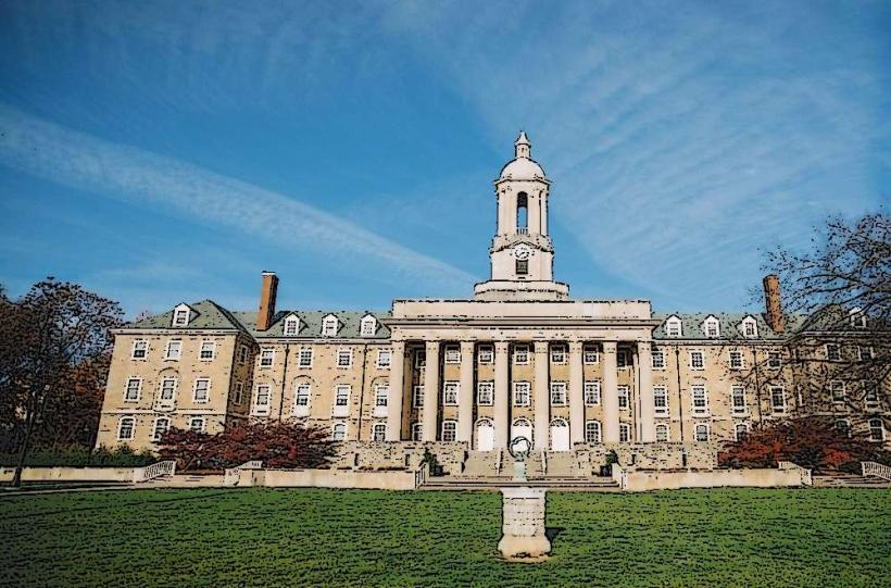
Old Main (University Administrative Center)
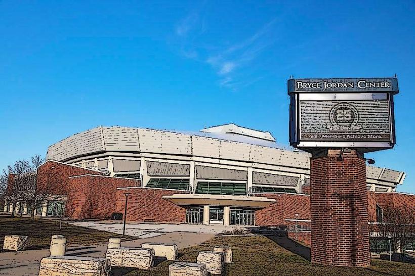
Beaver Stadium (Second-largest stadium in the Western Hemisphere)
The Nittany Lion Shrine
Berkey Creamery
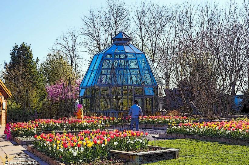
The Pennsylvania State University Arboretum
Transportation Network
Movement within the city relies on the CATA (Centre Area Transportation Authority) bus system, which includes the "Loop" and "Link" fare-free campus routes. Ride-sharing via Uber and Lyft is the primary alternative to private vehicle use. Official taxis are operated by Nittany Taxi and are typically white. Traffic density is moderate except during "Home Game" weekends, when the population effectively doubles.
Safety & "Red Zones"
The general safety level is very high. There are no designated "red zones," though caution is advised in the downtown core during late-night hours on weekends due to high concentrations of intoxicated pedestrians. Common scams are rare and typically limited to fraudulent subletting or apartment rental schemes targeting students.
Digital & Financial Infrastructure
Average internet speed is 200 Mbps. Main mobile carriers include Verizon, AT&T, and T-Mobile. Card acceptance is nearly universal in the borough. ATMs are widely available at PNC Bank branches and Sheetz convenience stores.
Climate & Air Quality
Temperatures range from -7°C to 2°C in winter and 16°C to 28°C in summer. Air quality is consistently good. Specific weather risks include heavy lake-effect snowfall and ice storms during the winter months (December–March).
Culture & Social Norms
The standard tipping percentage is 18–20%. A handshake is the standard greeting. Dress code is highly informal and collegiate-focused. Smoking is prohibited in all public buildings and most outdoor campus areas; alcohol consumption is strictly regulated with heavy enforcement of open-container laws.
Accommodation Zones
Downtown: Recommended for walking access to the university campus, restaurants, and bars.
North Atherton: Recommended for quieter stays with easy vehicular access to regional shopping centers.
Local Cost Index
1 Espresso: $4.00 (USD)
1 Standard Lunch: $14.00 (USD)
1 Bus Ticket: $2.20 (USD) (Campus Loop is Free)
Nearby Day Trips
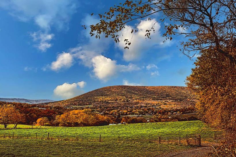
Mount Nittany (5 km)
Penn's Cave & Wildlife Park (30 km)
Bellefonte Historic District (18 km)
Bald Eagle State Park (40 km)
Raystown Lake (80 km)
Facts & Legends
The most prominent local myth is the "Legend of Princess Nittany," a Native American lore created to explain the origin of Mount Nittany. Historically, the town's name remains "State College" because a 1953 referendum to change it to "University Park" failed; consequently, only the campus holds the University Park postal designation, while the surrounding municipality remains State College.