Information
City: TamataveCountry: Madagascar
Continent: Africa
Tamatave, Madagascar, Africa
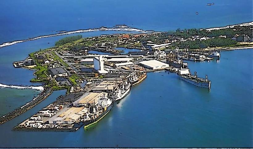
Toamasina, still widely known by its colonial name Tamatave, is the second-largest city in Madagascar and the nation's primary commercial port. Located on the east coast, it handles the vast majority of the country's international trade, including the export of vanilla, cloves, nickel, and cobalt.
Historical Timeline
The city's name likely derives from the Malagasy "Tao masina" (It is holy). It grew from a pirate and slave-trading outpost into a major administrative hub under the French. In 1927, a catastrophic cyclone leveled nearly the entire city, leading to its reconstruction with a modern grid and wide, palm-lined boulevards. Today, it is the northern terminal for the Pangalanes Canal and the operational base for the Ambatovy mining project, one of the largest industrial ventures in sub-Saharan Africa.
Demographics & Population
The population is approximately 350,000. The dominant ethnic group is the Betsimisaraka ("The many inseparables"). Due to its status as a global port, the city is a cosmopolitan center with significant Sinoa (Chinese-Malagasy) and Indo-Pakistani merchant communities, alongside a permanent population of French and international technical expatriates.
Urban Layout & Key Districts
The city is built on a flat, sandy peninsula between the Indian Ocean and the Pangalanes Canal.
Boulevard Maritime: A massive oceanfront promenade and the city’s social nerve center.
Bazar Be: The "Great Market," the primary commercial district for textiles and high-grade spices.
The Port: A high-security industrial zone on the southern tip.
Cité Canada: A residential area originally built as a post-cyclone reconstruction project.
Top Landmarks
Bazar Be: A historic market famous for the intense aroma of vanilla and cloves; it is the best place to source export-quality spices.
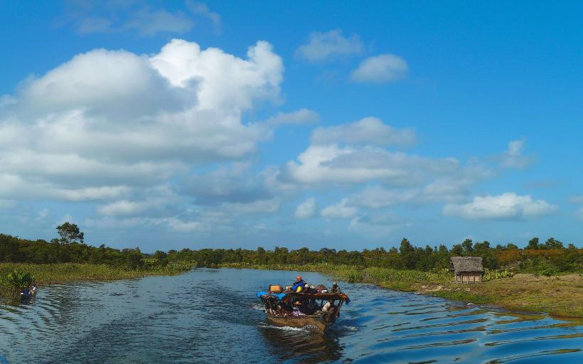
Pangalanes Canal: An artificial 650 km inland waterway; Toamasina serves as its most active northern hub.
Ivoloina Parc: Located 12 km north, this botanical garden and zoo houses rescued lemurs, radiated tortoises, and rare endemic plants.
Place de la Colonne: The central administrative plaza featuring colonial-era architecture.
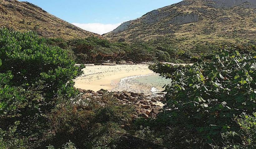
Ile aux Prunes (Plum Island): Located offshore, featuring a historic lighthouse and a coral reef protected area.
Transportation Network
Air: Ambalamanasy Airport (TMM) connects the city to Antananarivo and Maroantsetra.
Roads: Connected to the capital via the RN2 (approx. 7–9 hours). This highway is heavily congested with fuel tankers and cargo trucks.
Local Transit: Pousse-pousses (rickshaws) are the dominant form of transport; Toamasina has the highest concentration of rickshaws in the country. Tuk-tuks are available for longer city distances.
Railway: The Madarail line to Antananarivo is primarily used for freight, with passenger services being irregular or non-existent.
Safety & "Red Zones"
Marine Safety: Do not swim in the open ocean at Toamasina. The waters are infested with sharks attracted by port activity and deep-water drop-offs.
Crime: Petty theft and pickpocketing are high-risk in Bazar Be and along the Boulevard Maritime.
Night Safety: Walking at night is strictly discouraged. The seafront promenade becomes unsafe after dark.
Environment: The city is in the "cyclone alley" of Madagascar; travel during January–March carries significant weather risks.
Digital & Financial Infrastructure
4G and 5G signals are robust. As an economic hub, the city has numerous ATMs (BNI, BMOI, Société Générale) located near the Avenue de l'Indépendance. Fiber-optic internet is standard in business-class hotels. The currency is the Malagasy Ariary (MGA).
Climate & Air Quality
Climate: Tropical rainforest climate. It is the wettest city in Madagascar, with rain occurring almost daily. Humidity is consistently high.
Air Quality: Moderate to poor in the city center due to heavy truck emissions from the RN2 and industrial dust from port operations.
Culture & Social Norms
Lychee Season: In November and December, the city enters a frenzy as it prepares the national lychee harvest for export to Europe.
Cuisine: Deeply influenced by Chinese and French flavors. Soupe Chinoise and fresh seafood are staples.
Etiquette: Business attire is more formal here than in other coastal towns due to the industrial and administrative focus.
Local Cost Index
1 Espresso: ~5,000 MGA ($1.10)
1 Tuk-tuk Ride (City): ~2,000 MGA ($0.45)
1 kg of High-grade Cloves: Market Price (Negotiable)
Nearby Day Trips
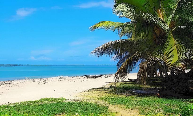
Foulpointe (Mahavelona): 1.5 hours north; a popular resort with a shallow lagoon safe for swimming.
Manambato: 3 hours south; a gateway to the white sand beaches of Lake Rasoabe and the Pangalanes Canal.
Facts & Legends
A verified historical oddity is that the city’s grid was specifically designed post-1927 to act as a windbreak against future cyclones. Local legend tells of the Zazavavindrano (water spirits) inhabiting the Pangalanes Canal, believed to ensure the safe passage of those who offer respect to the waterway's ancestors.