Information
Landmark: Pangalane CanalCity: Tamatave
Country: Madagascar
Continent: Africa
Pangalane Canal, Tamatave, Madagascar, Africa
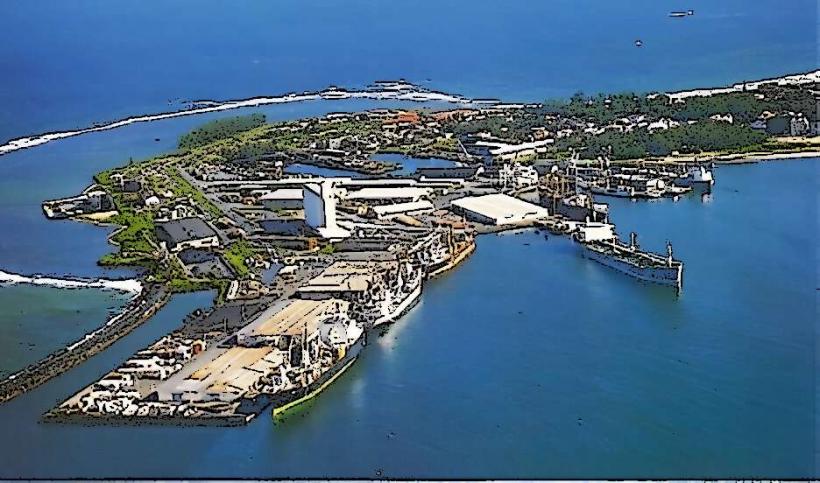
The Pangalane Canal is an extensive network of natural waterways and artificial channels running parallel to the east coast of Madagascar. It serves as a crucial inland navigation route, with significant access points and activity centered around the city of Tamatave (Toamasina).
Visual Characteristics
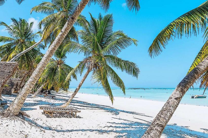
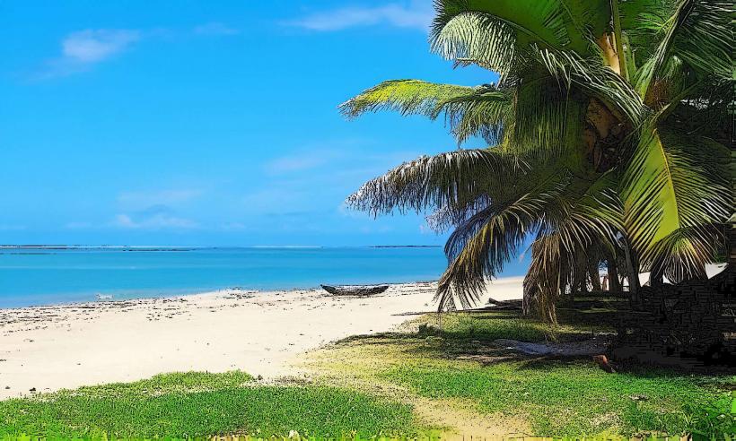
The canal's waters are typically calm, often appearing brownish-green due to sediment and surrounding vegetation. Its banks are densely lined with tropical flora, including reeds, palm trees, and various endemic plant species, creating a tunnel-like effect in narrower sections. The width varies considerably, from constricted passages to expansive lagoon-like areas. Small, traditional villages with wooden houses, some built on stilts, are interspersed along its course.
Location & Access Logistics
The Pangalane Canal runs along the eastern seaboard of Madagascar. From Tamatave city center, access is primarily via local roads leading to various embarkation points. A common access point is near the port area or specific villages like Ambodiriana, located approximately 10-15 kilometers south of the city. Parking at these points is typically informal. Public transport along the canal is exclusively by local pirogues (dugout canoes) or motorized boats. Local taxis or tuk-tuks can transport visitors to the canal's embarkation sites from Tamatave.
Historical & Ecological Origin
The Pangalane Canal is a man-made waterway, largely constructed and improved during the French colonial period. Initial construction began in the late 19th century, with significant sections completed by 1901 and further extensions continuing until 1957. Its primary purpose was to establish a safe inland transport route for goods, such as coffee, spices, and timber, and for people, thereby avoiding the hazardous conditions of the Indian Ocean coastline.
Key Highlights & Activities
Boat tours are the principal activity, offering observation of local life, traditional fishing practices, and the canal's diverse flora. Visitors can witness the transport of goods by pirogue and explore small, riverside villages. Birdwatching is a popular pursuit, with numerous water bird species inhabiting the canal's ecosystem. Certain sections permit swimming in designated areas.
Infrastructure & Amenities
Basic amenities are available in the larger villages situated along the canal. Restroom facilities are generally rustic or absent, often requiring reliance on natural surroundings. Shade is provided by the dense vegetation along the banks and by boat canopies. Cell phone signal (2G/3G, occasionally 4G) is intermittent along the canal's length, improving near more populated settlements. Food vendors offering local snacks and meals can be found in the villages.
Best Time to Visit
The optimal period for visiting the Pangalane Canal is during the dry season, from April to November, when rainfall is minimal and humidity is lower. Early morning or late afternoon boat tours are recommended for cooler temperatures and optimal lighting conditions for photography. Water levels in the canal are generally stable and not significantly influenced by tidal fluctuations.
Facts & Legends
The Pangalane Canal was once considered a vital economic artery for Madagascar, significantly reducing the time and risks associated with coastal sea travel. A local belief suggests that specific sections of the canal are protected by ancestral spirits, and some boatmen perform small offerings for safe passage.
Nearby Landmarks
- Port of Toamasina: 2km West
- Ivoloina Park: 15km North-West
- Central Market (Bazar Be): 1km West
- Phare de l'Ile aux Prunes (Cap Masoala Lighthouse): 10km East
- Ambodiriana Village: 10km South