Information
Landmark: Toamasina PortCity: Tamatave
Country: Madagascar
Continent: Africa
Toamasina Port, Tamatave, Madagascar, Africa
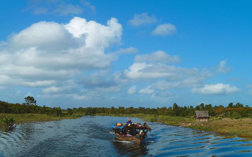
The Toamasina Port is the principal seaport of Madagascar, situated on the eastern coast within the city of Tamatave. It functions as a critical hub for international maritime trade and domestic shipping operations.
Visual Characteristics
The port complex features multiple concrete berths, extensive quayside infrastructure, and numerous large gantry cranes. Warehouses and administrative buildings constructed from concrete and corrugated metal are prevalent. The operational areas are characterized by industrial colors, primarily grey, blue, and yellow for machinery, spanning a significant portion of the coastline.
Location & Access Logistics
The port is located directly east of Tamatave's city center. Access is primarily via Boulevard de la Marine and Rue du Commerce, which connect to the city's main road network. The port is approximately 1km from the city center. Parking within the secure port area is restricted to authorized personnel; public parking is available on adjacent city streets. Local transportation options include taxis and pousse-pousse (rickshaws) from any point in the city.
Historical & Ecological Origin
The port's origins trace back to the colonial era, with significant development and modernization occurring under French administration. Its natural deep-water harbor made it an ideal location for a major trading post. The primary purpose has consistently been the facilitation of trade, serving as Madagascar's main gateway for imports and exports.
Key Highlights & Activities
Public access to the operational zones of the port is generally restricted for security reasons. Authorized visitors can observe cargo loading and unloading activities, which involve container ships, bulk carriers, and smaller coastal vessels. From designated viewpoints outside the security perimeter, the scale of the port's operations can be appreciated.
Infrastructure & Amenities
Within the secure port area, infrastructure includes customs offices, administrative buildings, maintenance facilities, and security checkpoints. Public amenities such as restrooms and food vendors are not typically available directly within the operational zones but can be found in the immediate vicinity outside the main gates. Cell phone signal (4G/5G) is generally reliable throughout the area. Shade is limited to specific building structures.
Best Time to Visit
As an active commercial port, there is no specific "best time" for general visitation, as operations are continuous. For observing port activity from external viewpoints, weekdays during business hours typically show the highest level of activity. The dry season, from April to November, offers more favorable weather conditions, avoiding the heavy rains and cyclone season.
Facts & Legends
The Toamasina Port handles over 80% of Madagascar's international container traffic, making it indispensable for the national economy. It is the primary entry point for goods destined for the capital, Antananarivo, via Route Nationale 2. A practical tip for visitors is to view the port from the northern end of the city's main beach, offering a panoramic perspective of the industrial scale from a safe distance.
Nearby Landmarks
- Grand Marché (Central Market): 1.5km West
- Avenue de l'Indépendance: 1km West
- Plage de Manda (Manda Beach): 2km North
- Jardin Botanique et Zoologique d'Ivoloina: 12km North
- Phare de l'Île aux Prunes (Île aux Prunes Lighthouse): 10km North-East (offshore)