Information
City: YenagoaCountry: Nigeria
Continent: Africa
Yenagoa, Nigeria, Africa
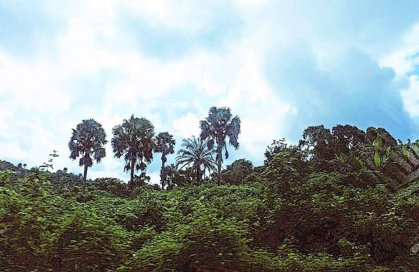
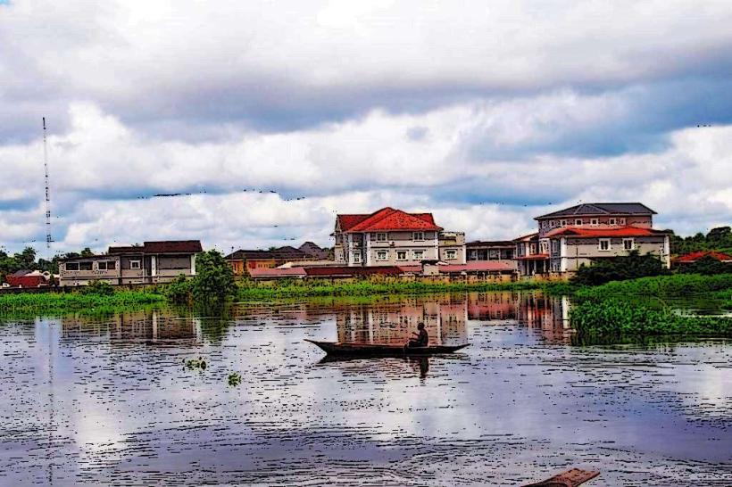
Yenagoa serves as the administrative capital of Bayelsa State and a significant logistical node for Nigeria’s offshore oil and gas industry. It is located in the core of the Niger Delta, situated along the banks of the Ekoli Creek and surrounded by the mangrove swamps and rainforests of the southern coastline.
Historical Timeline
Yenagoa was a rural settlement within the old Rivers State until it was designated as the capital of the newly created Bayelsa State on October 1, 1996. The city transitioned through a period of rapid, largely unplanned expansion during the early 2000s, followed by more structured infrastructure development post-2010. The most significant political reconstruction occurred after the 2012 and 2022 floods, which forced an elevation of major roadways and the reinforcement of riverbank defenses. The primary event shaping its current urban form was the construction of the Mbiama-Yenagoa Road, which remains the city’s sole major terrestrial artery connecting it to the East-West Road.
Demographics & Population
The metropolitan population is approximately 580,000 as of 2026. The population is overwhelmingly dominated by the Ijaw ethnic group, particularly the Epie-Atissa sub-groups. The median age is approximately 18.3 years.
Urban Layout & Key Districts
The city is organized linearly, following the path of the Mbiama-Yenagoa Road and the Ekoli Creek due to the surrounding marshy terrain. Key districts include the Government Reserved Area (GRA) in the center, housing administrative offices and high-end residences; Amarata (South), a high-density commercial and residential zone; and Onopa (Central), the seat of the State Government House.
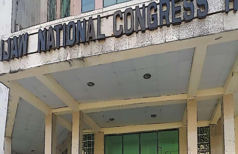
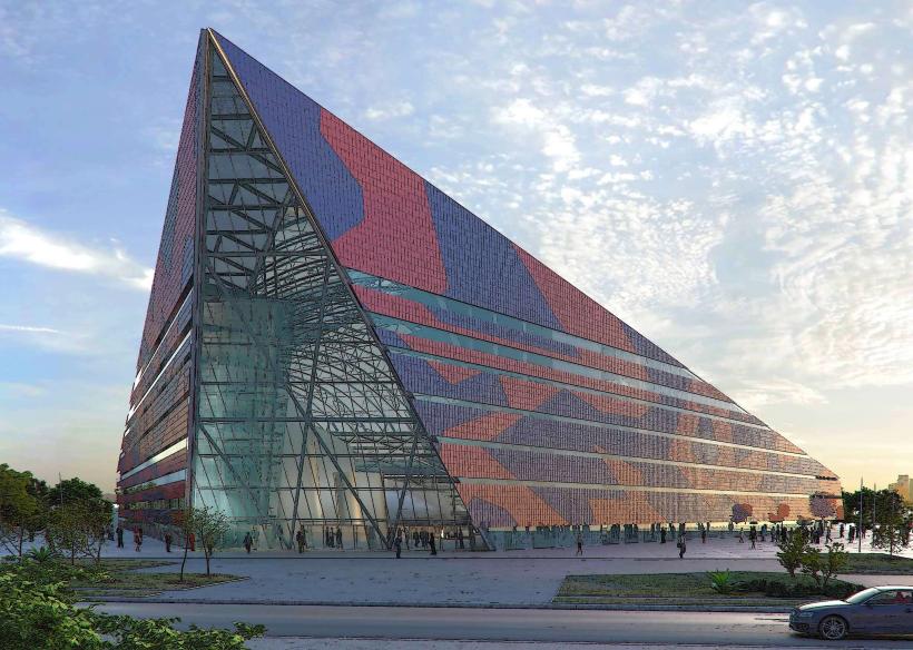
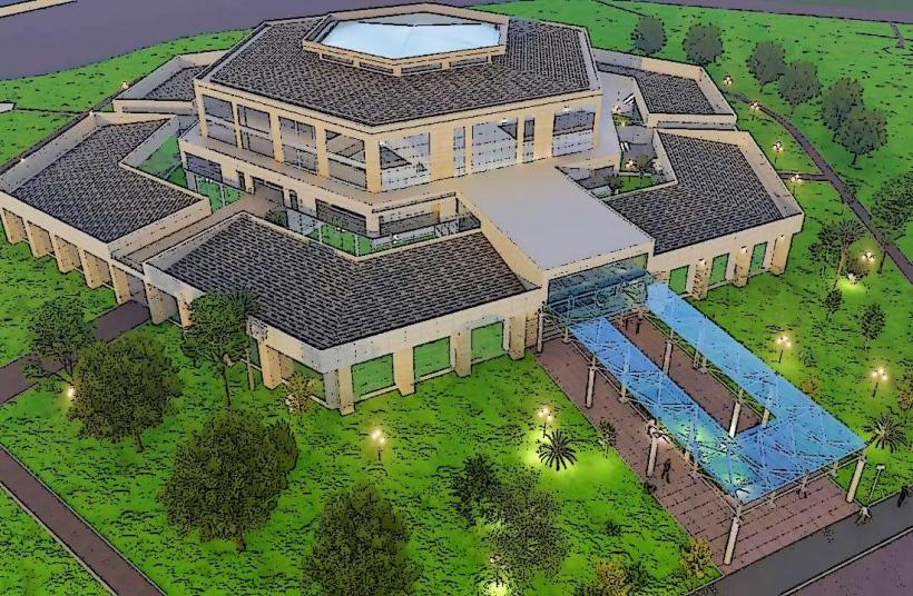
Top City Landmarks
Bayelsa State Government House (Creek Haven)
The Ox-Bow Lake Pavilion
Bayelsa Palm (Industrial plantation and park)
Peace Park (Yenagoa)
The Dakkada (DSP Alamieyeseigha) Memorial Banquet Hall
Transportation Network
Internal movement is constrained by the city's linear geography and relies heavily on a single main dual carriageway. Transit is dominated by "Keke" (tricycles) and local taxis. There is no metro or rail system. Ride-sharing is available via Bolt. Official taxis are painted green with yellow stripes. Traffic density is extreme at the Tombia Roundabout and Mbiama junction during peak morning and evening hours.
Safety & "Red Zones"
The general safety level is moderate. Caution is advised in the waterfront areas and the Swali Market district at night due to reports of cult-related violence and petty theft. Waterway travel after dark is strictly discouraged due to the risk of piracy and militant activity in the surrounding creeks.
Digital & Financial Infrastructure
Average internet speeds are 25–40 Mbps on 4G networks, with 5G coverage available in the GRA. Main carriers are MTN, Airtel, and Glo. Card acceptance is standard in formal hotels and major petrol stations, but cash is mandatory for most local commercial activities. ATMs are concentrated along the Isaac Boro Expressway and the GRA sector.
Climate & Air Quality
Temperatures range from 22°C to 32°C. Yenagoa has a tropical monsoon climate with exceptionally high humidity and a rainy season that lasts nearly ten months (March–December). Air quality is frequently affected by "soot" from localized illegal oil refining and gas flaring in the nearby delta, particularly during the dry season (January–February).
Culture & Social Norms
Tipping is voluntary but common (5–10%). Handshakes are the standard greeting; the Ijaw "snap-shake" is common among locals. Dress code is conservative-professional in offices, while traditional attire (including the "Senator" suit and bowler hat) is standard for social functions. Alcohol is widely available, and social life is heavily centered around waterfront bars and lounges.
Accommodation Zones
GRA: Recommended for high security, quiet environment, and proximity to government offices.
Sani Abacha Expressway: Recommended for access to modern hotels, restaurants, and the city’s main commercial strip.
Local Cost Index
1 Espresso: ₦4,200 ($2.80)
1 Standard Lunch: ₦11,500 ($7.60)
1 Metro/Bus Ticket: ₦800 ($0.55) - Keke/Taxi rate.
Nearby Day Trips
Oloibiri (Site of Nigeria's first oil well): 45 km (60 minutes)
Akassa Slave Tunnel: 90 km (120 minutes via speedboat)
Wilberforce Island (NDU Campus): 25 km (35 minutes)
Taylor Creek National Forest: 30 km (45 minutes)
Facts & Legends
Yenagoa is often called the "Glory of All Lands." A prominent local legend concerns the "Lady of the Lake" at Ox-Bow Lake, who is said to protect the city from submerging into the delta. Local tradition holds that the lake was formed by a falling star and that the surrounding spirits require annual "libations" of palm wine and gin to prevent the Ekoli Creek from overrunning its banks during the peak of the monsoon.