Information
Landmark: Katla VolcanoCity: Vik
Country: Iceland
Continent: Europe
Katla Volcano is one of Iceland's most active and well-known volcanoes. Located beneath the Mýrdalsjökull Glacier in southern Iceland, it is part of the Ring of Fire, a zone of frequent earthquakes and volcanic eruptions encircling the Pacific Ocean. Katla is renowned for its powerful eruptions and its close proximity to populated areas, making it an important subject of study for volcanologists and a major part of Iceland's geological landscape.
Geographical Location
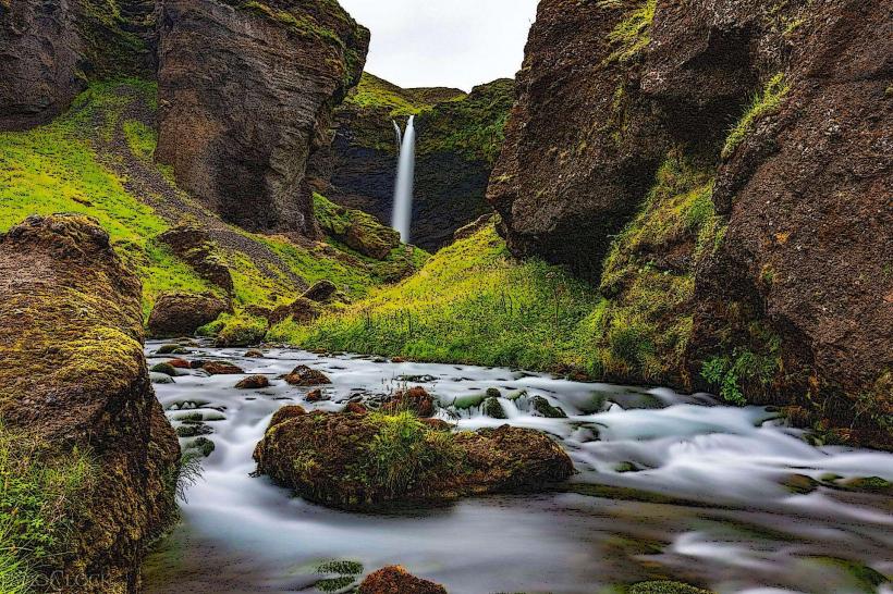
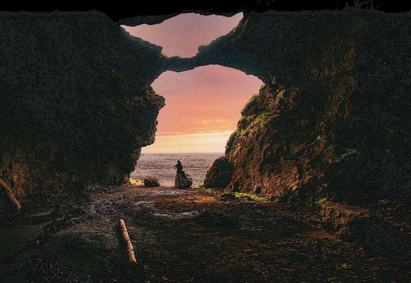
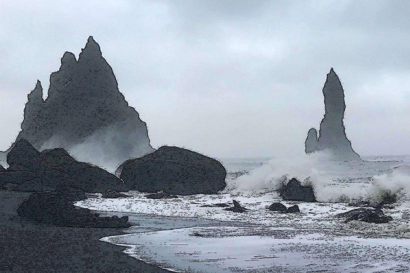
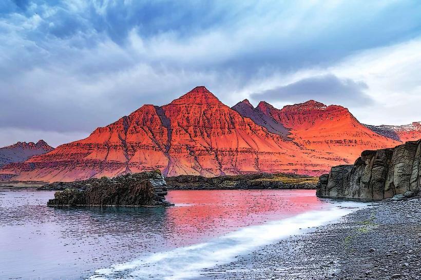
- Position: Katla is situated beneath Mýrdalsjökull, Iceland's fourth-largest glacier. The volcano itself is located about 25 kilometers (16 miles) from the village of Vík í Mýrdal on the southern coast of Iceland. The glacier's size and location make Katla a striking feature of the region, visible from various points in the surrounding areas.
Volcanic Activity
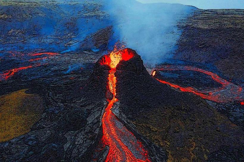
Volcanic Type: Katla is a subglacial volcano, meaning it is located under a glacier. This type of volcano is often associated with explosive eruptions, which occur when molten lava interacts with ice and water. The combination of ice and magma can lead to significant eruptions and ash clouds, which can have far-reaching effects on the surrounding environment and even global air travel.
Eruptions: Katla has erupted frequently over the last several thousand years, with eruptions occurring roughly every 40-80 years on average. Its most recent eruption took place in 1918, and prior to that, it erupted in 1823, with earlier eruptions recorded as far back as the 10th century. Katla's eruptions have been significant, often involving the melting of large amounts of ice, which leads to massive floods, known as jökulhlaups (glacial outburst floods).
Explosive Nature: The eruptions of Katla are often explosive due to the subglacial setting, where lava comes into contact with ice. These explosive eruptions can cause pyroclastic flows, ash clouds, and flooding, and they can be particularly dangerous for nearby communities. The eruption of Katla can also have global consequences by injecting large amounts of ash and gases into the atmosphere, which can affect air travel and climate.
Monitoring Katla
Volcanic Activity: Due to its location and history of eruptions, Katla is closely monitored by the Icelandic Meteorological Office (IMO) and other scientific institutions. Seismographs, gas measurements, and other monitoring tools are used to track volcanic activity and predict eruptions. In recent years, there has been increasing seismic activity around Katla, leading scientists to pay close attention to the volcano's potential for future eruptions.
Concerns about Future Eruptions: There are concerns that Katla could erupt in the near future, as the volcano has shown signs of increased activity, such as an increase in seismic tremors. Additionally, the region around Katla has experienced geothermal activity, which can be a precursor to volcanic eruptions. However, predicting the exact timing of an eruption is difficult, and scientists continue to monitor the area closely.
Impact of Eruptions
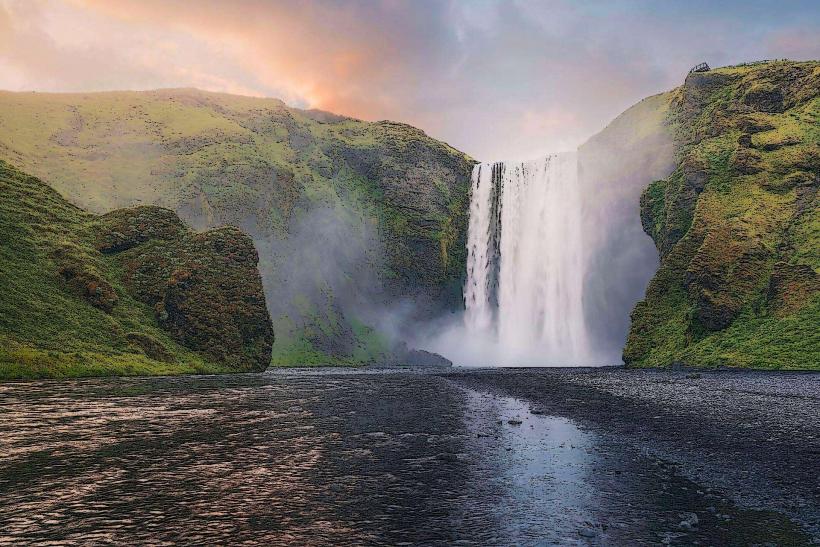
Jökulhlaups: One of the significant dangers associated with eruptions of Katla is the potential for jökulhlaups—large floods caused by the rapid melting of ice during an eruption. These floods can carry huge amounts of water, ice, and debris, which can damage infrastructure, farmland, and roads. The floods caused by past eruptions have reached the surrounding areas, including the towns of Vík and Skogar, potentially causing widespread damage.
Ash Clouds: Another major impact of Katla's eruptions is the release of ash clouds into the atmosphere. These clouds can disrupt air traffic, as seen with the eruption of Eyjafjallajökull in 2010, which caused major disruptions to flights across Europe. While Katla has not erupted in recent years, its eruptions in the past have been responsible for significant ash clouds that could again affect aviation if the volcano erupts.
Geological Features
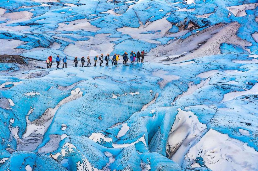
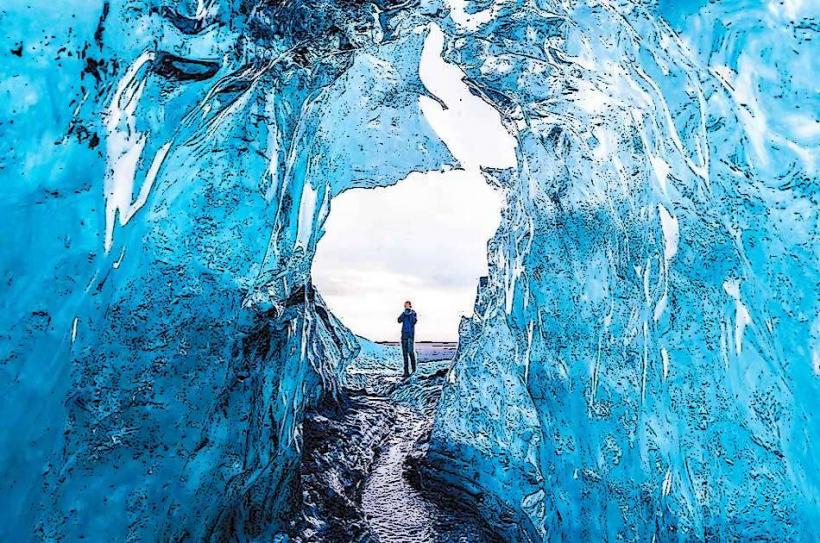
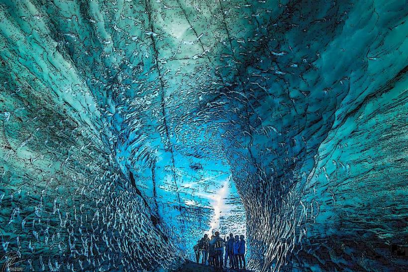
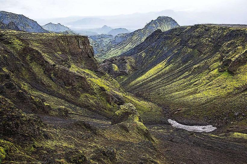
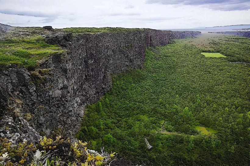
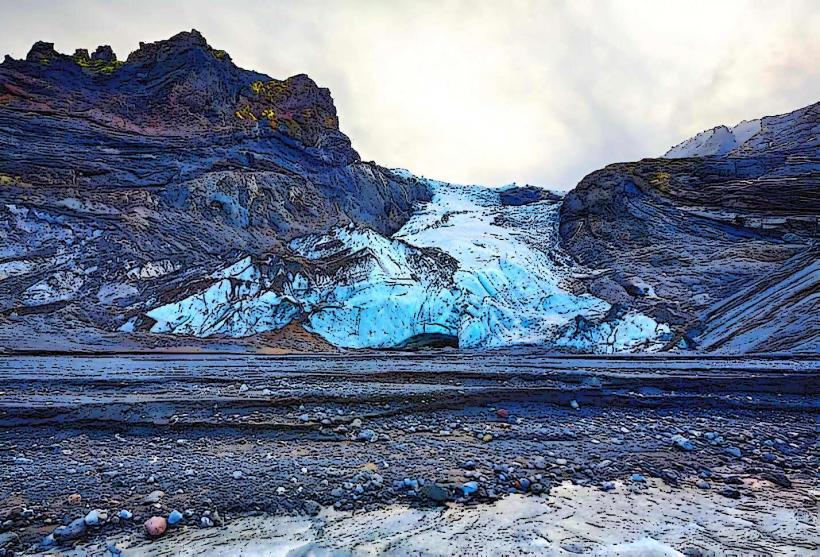
Mýrdalsjökull Glacier: Katla is located beneath Mýrdalsjökull, which covers an area of approximately 595 square kilometers (230 square miles). The glacier adds to the volcano's complexity, as the interaction between ice and lava during an eruption can produce catastrophic flooding and explosive volcanic activity. The glacier itself is a beautiful feature, offering a stark contrast to the often turbulent volcanic landscape.
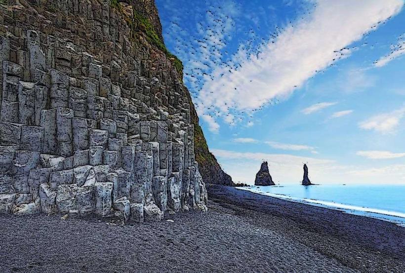
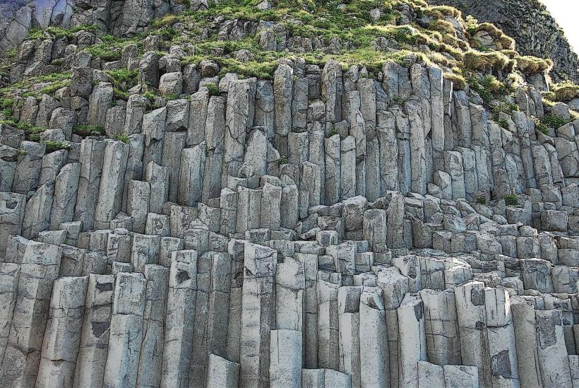
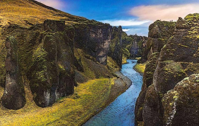
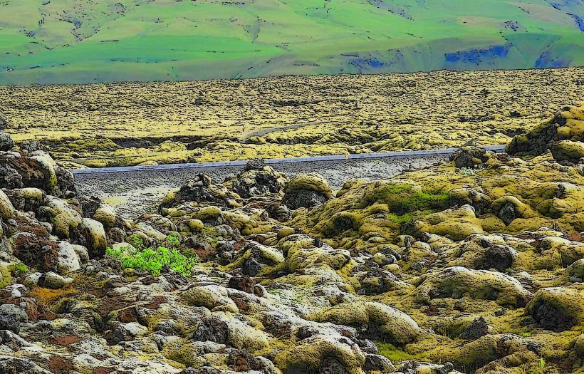
Lava Fields and Craters: The volcanic landscape around Katla is filled with lava fields, volcanic craters, and other geological features that were created by past eruptions. The most notable of these is the Katla caldera, a large, elliptical volcanic depression with a diameter of about 10 kilometers (6 miles). This caldera is filled with ice and is surrounded by steep cliffs formed by lava flows and ash deposits.
Tourism and Katla
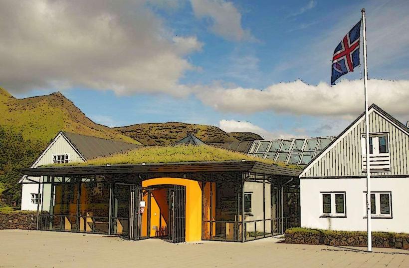
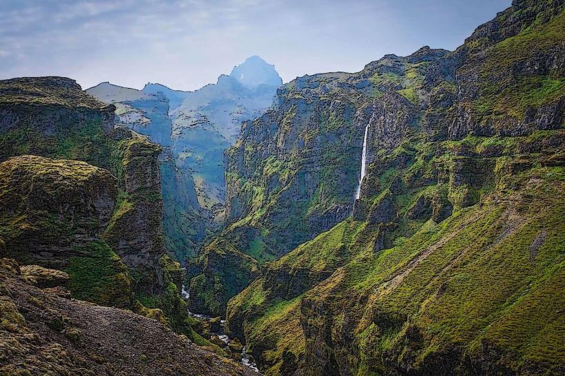
Glacier Tours: The area surrounding Katla is a popular destination for tourists interested in exploring Iceland's volcanic and glacial landscapes. Visitors can go on guided tours of the Mýrdalsjökull Glacier, where they can experience glacier hiking, ice climbing, and snowmobiling. Many of these tours take visitors close to the volcano itself, although access to the immediate area around Katla is restricted due to safety concerns.
Volcano and Glacier Hiking: Tourists can also visit the Katla Geopark or go on hikes around the glacier, where they can explore the stunning landscapes created by the volcanic activity. Visitors can also view the remnants of past eruptions, including lava fields and ash deposits, which offer a glimpse into the power of Katla’s eruptions.
Safety Considerations: Given Katla’s potential for eruption, it is important for tourists to follow local guidance and be aware of safety recommendations when visiting the area. The Icelandic authorities continuously monitor volcanic activity and provide warnings if there is an increased risk of eruption.
Legends and Folklore
- Katla in Icelandic Folklore: Katla holds a prominent place in Icelandic mythology and folklore. The volcano is often depicted as a giant, and it has inspired stories about its fury and destructive power. Some tales suggest that Katla is a sleeping giant who will one day awaken and unleash a catastrophic eruption.
Recent Activity and Future Potential
Increased Seismic Activity: In recent years, Katla has shown signs of increased seismic activity, with a higher frequency of small earthquakes in the area. This has raised concerns about the potential for an imminent eruption. While no major eruptions have occurred in the 21st century, scientists continue to closely monitor Katla's activity, and there is a possibility that the volcano could erupt in the coming decades.
Climate Change and Volcanic Eruptions: Climate change is another factor that could influence Katla’s future eruptions. Rising temperatures in Iceland are causing glaciers to melt more quickly, which could increase the likelihood of volcanic activity by causing more rapid melting of ice during an eruption. This could lead to more frequent jökulhlaups and other hazards.
Conclusion
Katla Volcano is one of Iceland’s most famous and active volcanoes, with a history of powerful eruptions and significant geological features. Located beneath Mýrdalsjökull Glacier, Katla has the potential to cause catastrophic flooding, ash clouds, and other volcanic hazards. Although its last eruption was in 1918, the volcano remains closely monitored by scientists due to increased seismic activity in the region. For tourists, Katla’s surrounding landscapes offer an incredible opportunity to explore Iceland’s volcanic beauty, but visitors should always be aware of the potential dangers associated with the area.