Information
Landmark: Eyjafjallajökull VolcanoCity: Vik
Country: Iceland
Continent: Europe
Eyjafjallajökull is one of Iceland's most famous and active volcanoes, located in the south of the island. Its name, often challenging to pronounce for non-Icelandic speakers, roughly translates to "Island Mountain Glacier" in English, referring to both the volcano itself and the glacier that covers it. Eyjafjallajökull gained global attention during its 2010 eruption, which disrupted air travel across Europe for several weeks due to the volcanic ash cloud it produced.
Geographical Location
Position: Eyjafjallajökull is located about 125 kilometers (78 miles) southeast of Reykjavik, Iceland's capital. The volcano is situated beneath the Eyjafjöll mountain range and is covered by an ice cap of the same name. The area is part of the larger volcanic zone of Iceland, located along the Mid-Atlantic Ridge, where the Eurasian and North American tectonic plates meet.
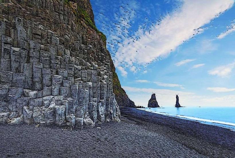
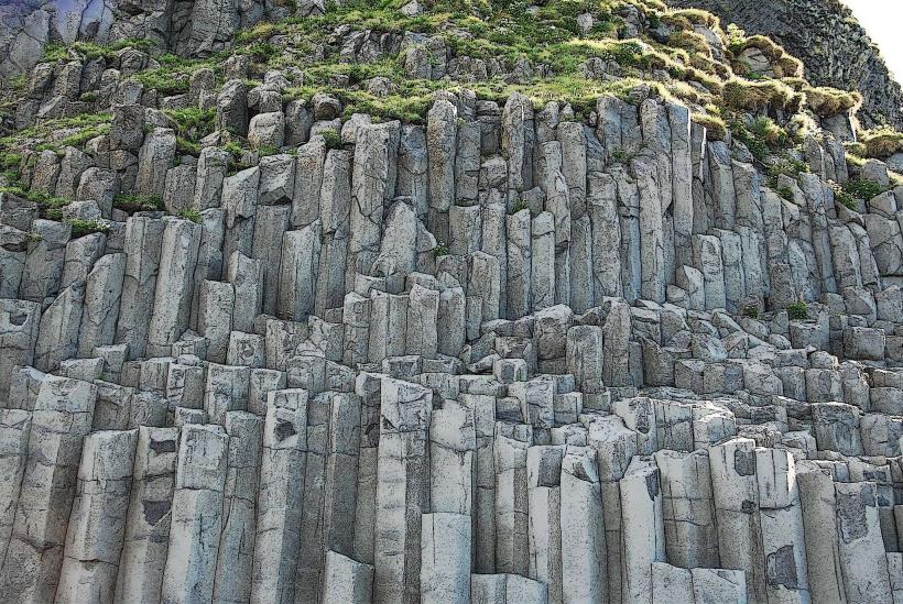
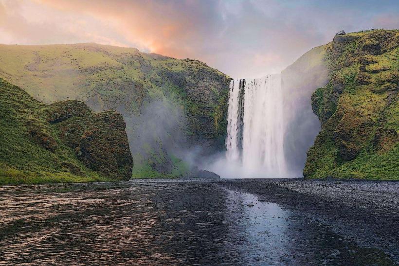
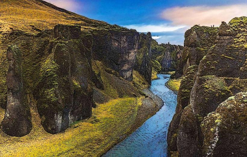
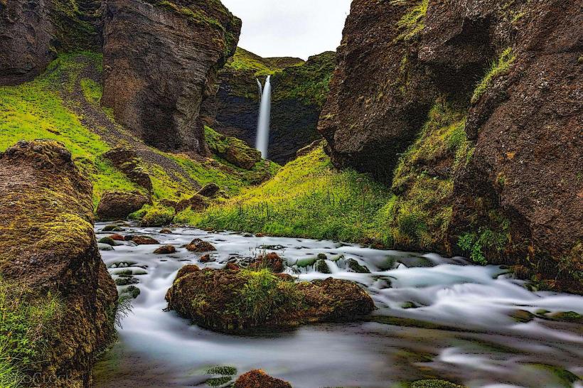
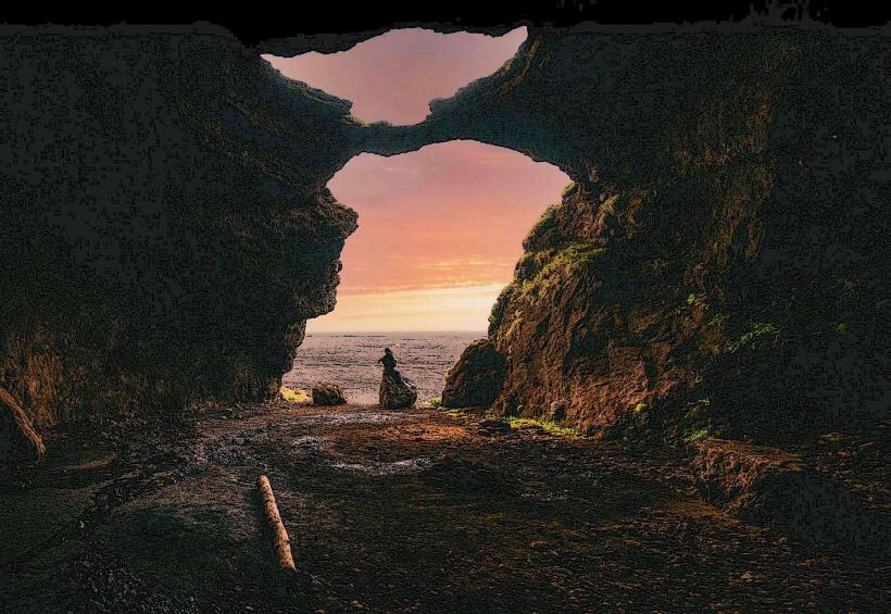
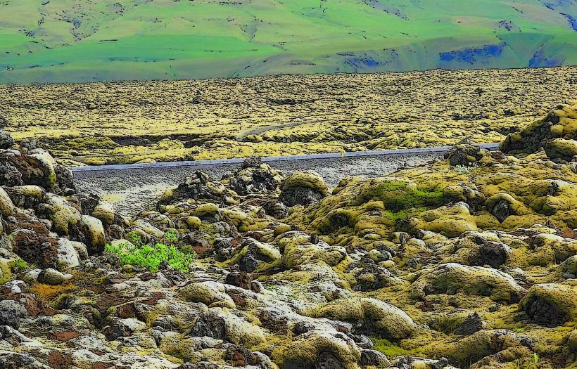
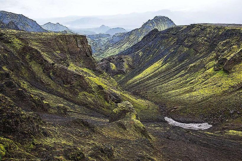
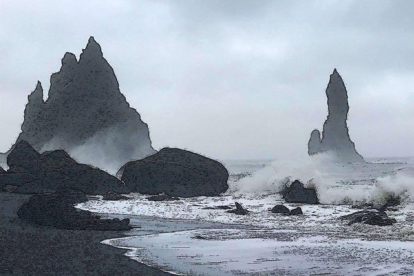
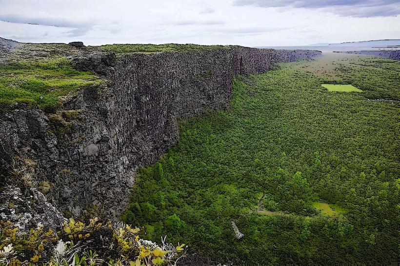
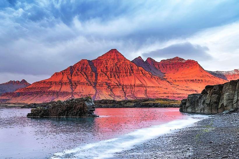
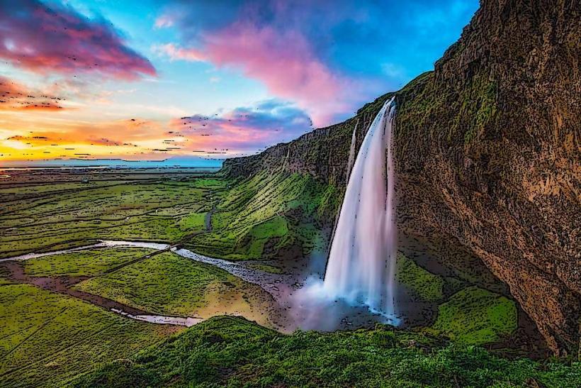
Surrounding Landscape: The volcano is positioned near the southern coast of Iceland, close to major attractions like Skogafoss Waterfall and Reynisfjara Beach. The region features dramatic landscapes, with glaciers, lava fields, and volcanic terrain, all contributing to its stunning natural beauty.
Volcanic Features
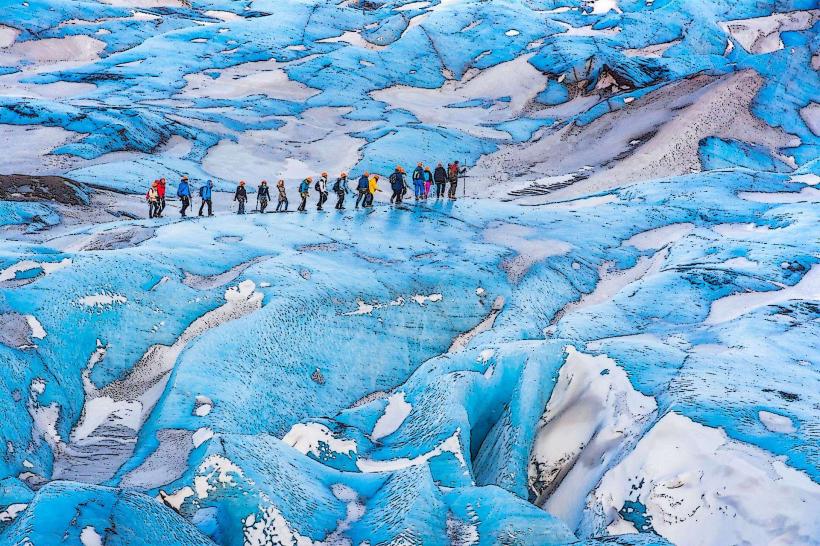
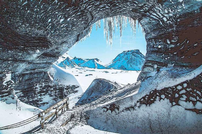
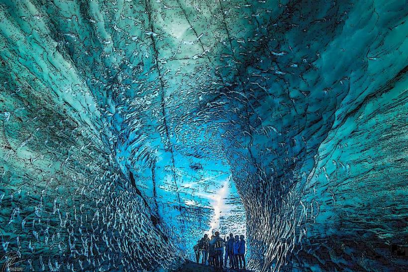
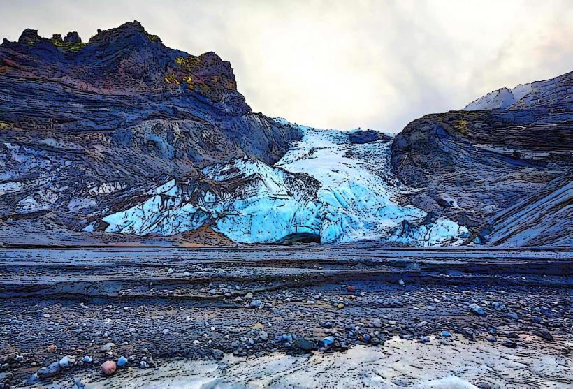
Ice Cap: Eyjafjallajökull is covered by an ice cap that extends over an area of about 100 square kilometers (39 square miles). The glacier itself is about 1500 meters (4900 feet) thick in some areas. The volcanic activity beneath the glacier is responsible for frequent eruptions and the formation of lava flows, ash deposits, and other volcanic features.
Caldera: The volcano has a caldera, a large, crater-like depression formed by past explosive eruptions. Eyjafjallajökull’s caldera is roughly 3 to 4 kilometers (1.9 to 2.5 miles) in diameter. The presence of the ice cap complicates the eruption process, as lava can melt large amounts of ice, leading to significant flooding.
Eruption History
2010 Eruption: The Eyjafjallajökull eruption of 2010 is the most well-known in recent history, largely due to the massive ash cloud it produced. The eruption began in March and lasted for several weeks, with a major ash plume reaching heights of up to 9 kilometers (30,000 feet) in the atmosphere. The ash cloud disrupted air travel across Europe, affecting hundreds of thousands of flights and causing significant economic and logistical disruptions. The eruption was also notable for its explosive nature, which caused volcanic ash to spread over a large area, leading to air quality concerns and affecting local agriculture.
Pre-2010 Eruptions: Eyjafjallajökull has had several eruptions throughout recorded history, with significant activity occurring as far back as the 9th century. Its eruptions are generally characterized by explosive activity due to the interaction between magma and ice, which can lead to the formation of pyroclastic flows and ash clouds. Other notable eruptions occurred in 1821-1823, although they were less disruptive than the 2010 eruption.
Post-2010 Activity: After the 2010 eruption, there has been increased monitoring of Eyjafjallajökull, as scientists anticipate future activity. While there have been no major eruptions since, the region remains volcanically active, with occasional seismic activity indicating that the volcano is still capable of erupting again in the future.
Impact of the 2010 Eruption
Air Travel Disruption: The eruption released vast amounts of volcanic ash into the atmosphere, which caused widespread disruptions to air travel across Europe. The ash cloud affected air traffic over an area of more than 20 countries, and around 100,000 flights were canceled over the course of the eruption. The ash posed a danger to aircraft engines, leading to the largest air travel disruption since World War II.
Flooding: The heat generated by the eruption melted large amounts of ice from the Eyjafjallajökull glacier, resulting in glacial floods (known as jökulhlaups) that affected surrounding areas. The flooding damaged infrastructure, including roads and bridges, and caused local evacuations, though there were no major casualties.
Environmental and Agricultural Impact: The ash fall from the eruption affected agriculture in nearby areas, as the volcanic ash settled on crops and soil. While volcanic ash is often rich in nutrients, the heavy deposits and the disruption caused by the ash cloud led to challenges for local farmers.
Geological Activity
Explosive Eruptions: Eyjafjallajökull is considered an explosive volcano, primarily due to the interaction between molten lava and the glacier's ice. The lava beneath the ice cap can cause the ice to melt rapidly, resulting in flooding and the release of steam and ash. The nature of its eruptions, with ash clouds and pyroclastic flows, makes Eyjafjallajökull a potentially dangerous volcano, especially for those living nearby.
Seismic Activity: The region around Eyjafjallajökull is frequently monitored for signs of volcanic activity, such as earthquakes and ground deformation. These signs can indicate the movement of magma beneath the surface, signaling that the volcano may be preparing to erupt. Seismologists use advanced equipment to track these movements and issue warnings to help mitigate the risks associated with potential eruptions.
Tourism and Attractions
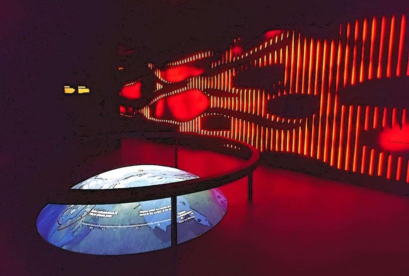
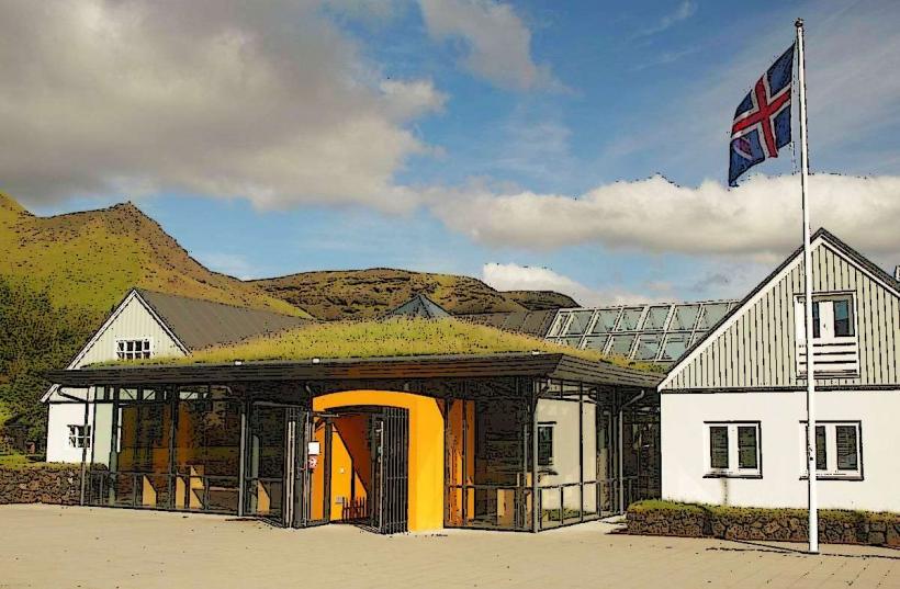
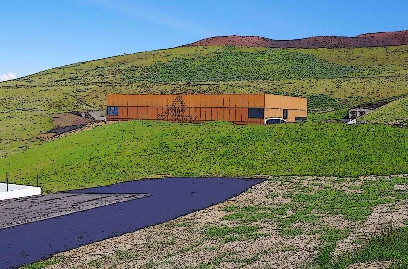
Eyjafjallajökull Visitor Center: Located near Skogar, the Eyjafjallajökull Visitor Center provides information about the 2010 eruption and the volcano’s geological significance. The center includes exhibits about the eruption’s impact on the local environment, history, and economy. It’s a popular stop for tourists exploring the south coast of Iceland.
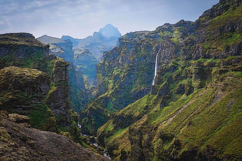
Hiking and Exploration: Visitors to the Eyjafjallajökull region can enjoy scenic hiking trails that offer views of the glacier and the surrounding landscapes. There are several hiking routes that lead to areas with panoramic views of the volcano, including hikes that go through the Þórsmörk Valley (a popular hiking destination) and towards the ice cap itself. Experienced hikers can also explore areas closer to the eruption sites, though these areas are typically not recommended for casual visitors due to the potential for volcanic activity.
Helicopter Tours: Some companies offer helicopter tours that give visitors a bird’s-eye view of Eyjafjallajökull, allowing them to see the volcano’s glaciers, craters, and surrounding landscapes. These tours provide an exciting and unique way to experience one of Iceland's most famous volcanic features.
Conclusion
Eyjafjallajökull is one of Iceland’s most notable volcanoes, both for its geological activity and its dramatic eruption in 2010. While the 2010 eruption was disruptive on a global scale, it also brought significant attention to the volcanic hazards of Iceland and the need for monitoring volcanic activity. Eyjafjallajökull remains a striking feature of the Icelandic landscape, with its glacier-covered summit, explosive volcanic activity, and scenic surroundings making it a popular destination for hikers, tourists, and those interested in Iceland’s unique geological history.