Information
Landmark: Eyjafjallajökull VolcanoCity: Vik
Country: Iceland
Continent: Europe
Eyjafjallajökull Volcano, Vik, Iceland, Europe
Visual Characteristics
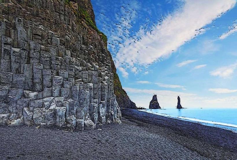
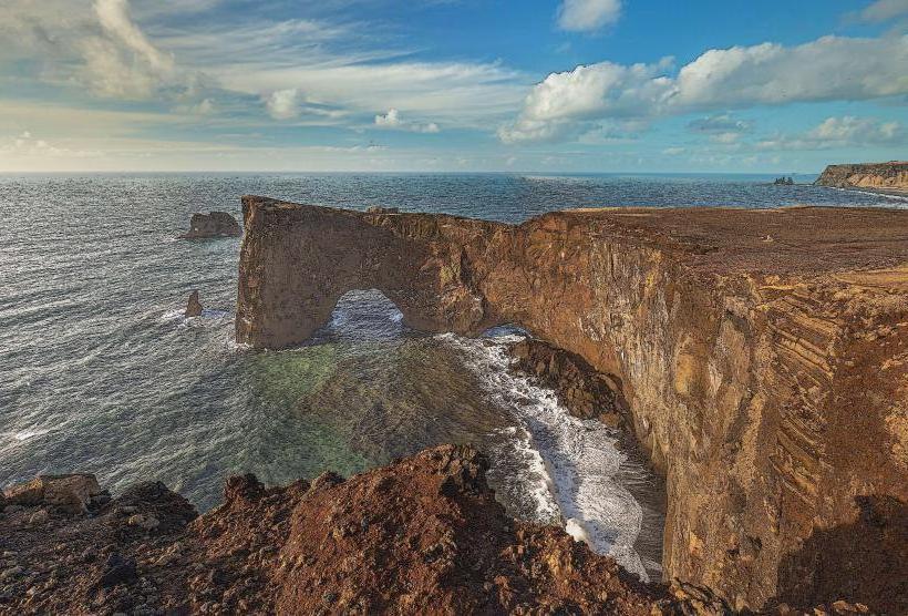
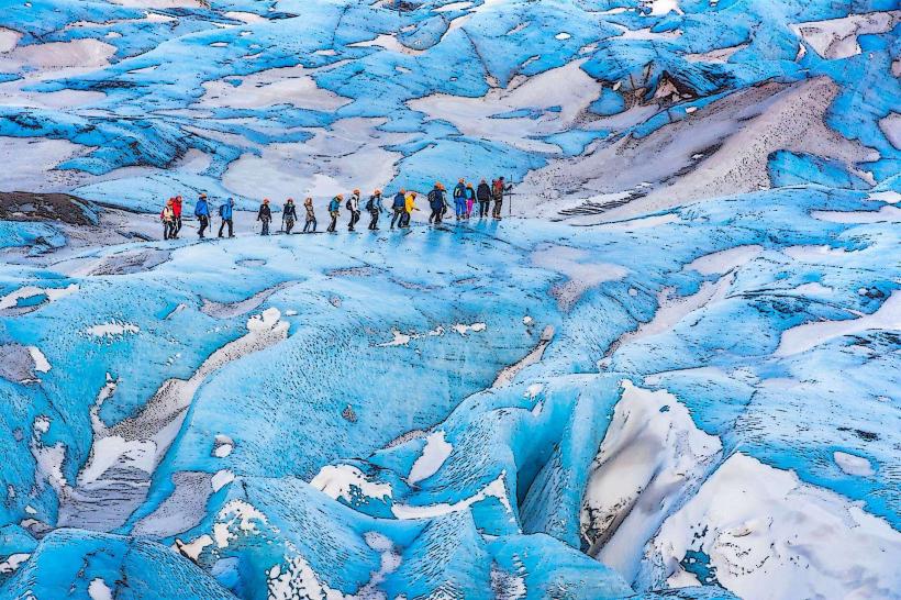
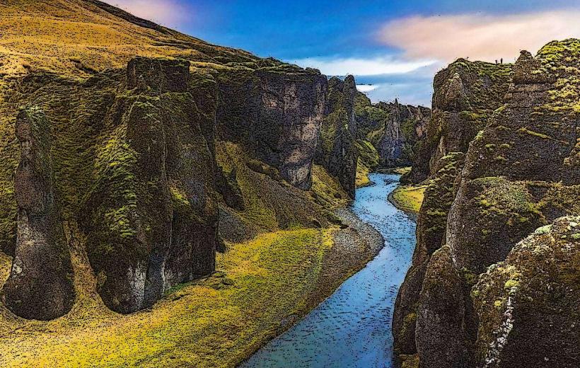
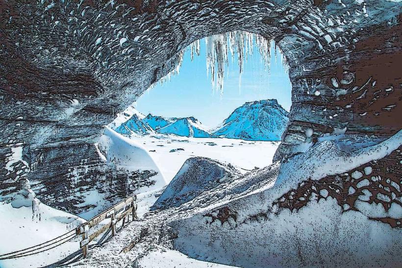
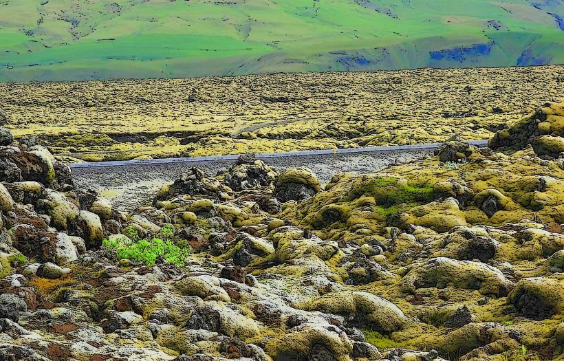
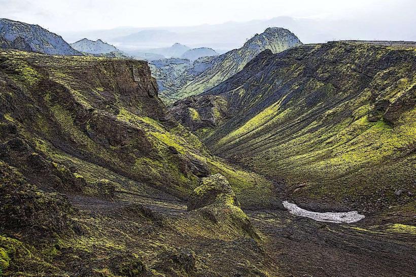
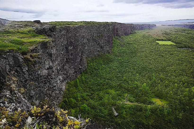
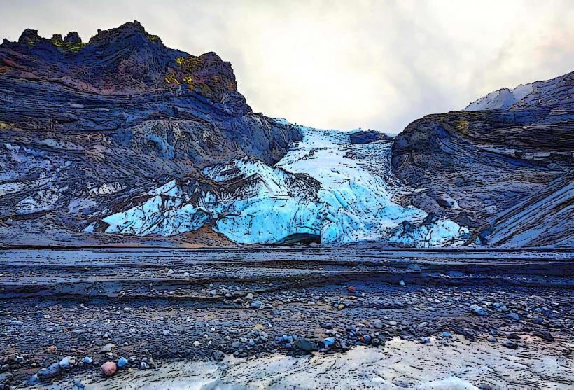
The volcano is characterized by its ice cap, the Eyjafjallajökull glacier, which covers the caldera. The peak elevation reaches 1,651 meters. Surrounding areas feature rugged volcanic rock formations, ash deposits from past eruptions, and sparse vegetation typical of subarctic environments.
Location & Access Logistics
Access to the immediate vicinity of Eyjafjallajökull is primarily via specialized 4x4 vehicles on F-roads, such as F249, which requires river crossings. The volcano is approximately 30 kilometers east of Hvolsvöllur and 60 kilometers west of Vik. No public transport directly serves the volcano's base; guided super jeep tours from nearby towns are the standard method of approach. Parking is limited to designated areas at the start of F-roads or tour departure points.
Historical & Ecological Origin
Eyjafjallajökull is an active stratovolcano, formed by successive layers of lava, ash, and rock. It is situated on the Mid-Atlantic Ridge, a divergent plate boundary. The last major eruption occurred in 2010, causing significant ash dispersal and air travel disruption across Europe.
Key Highlights & Activities
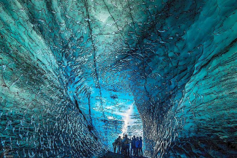
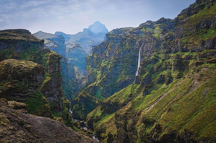
Activities include guided glacier hikes on the ice cap, super jeep tours to the volcano's flanks, and hiking trails on the surrounding slopes. Viewing points along the Ring Road (Route 1) offer distant perspectives of the volcano and glacier.
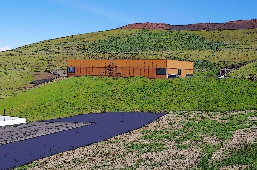
Infrastructure & Amenities
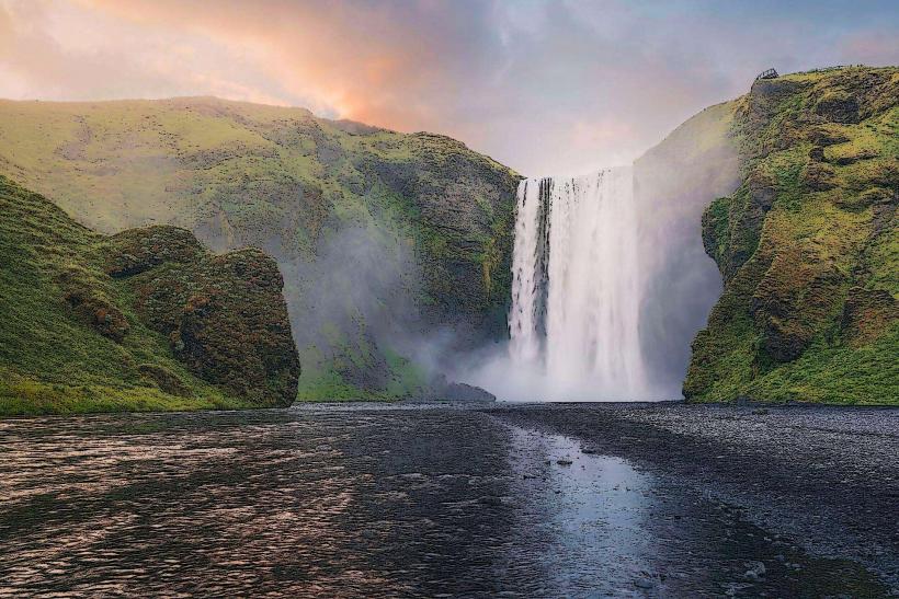
Direct infrastructure at the volcano itself is non-existent. Restrooms, shade, and food vendors are available at visitor centers or service stations along the Ring Road, such as near Seljalandsfoss or Skógafoss. Cell phone signal (4G/5G) can be intermittent or absent in the immediate volcanic highlands.
Best Time to Visit
The optimal period for visiting is during the summer months, from June to August, when snow cover is minimal at lower elevations and weather conditions are generally milder. Clear mornings provide the best visibility for photography of the glacier and peak.
Facts & Legends
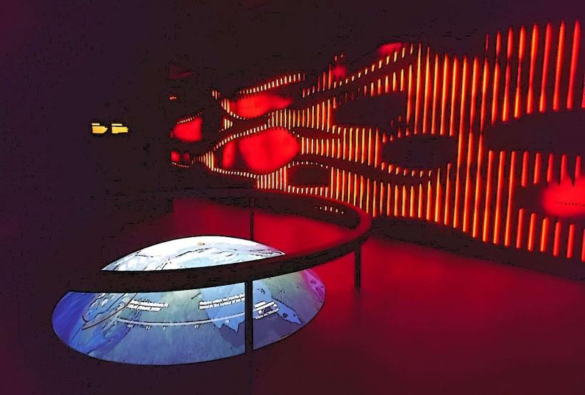
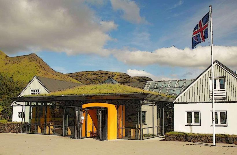
The 2010 eruption of Eyjafjallajökull produced an ash plume that reached an altitude of 11 kilometers, leading to the closure of European airspace for several days. A local tip for visitors is to observe the volcano from the Eyjafjallajökull Visitor Centre near Hvolsvöllur for interpretive displays and information.
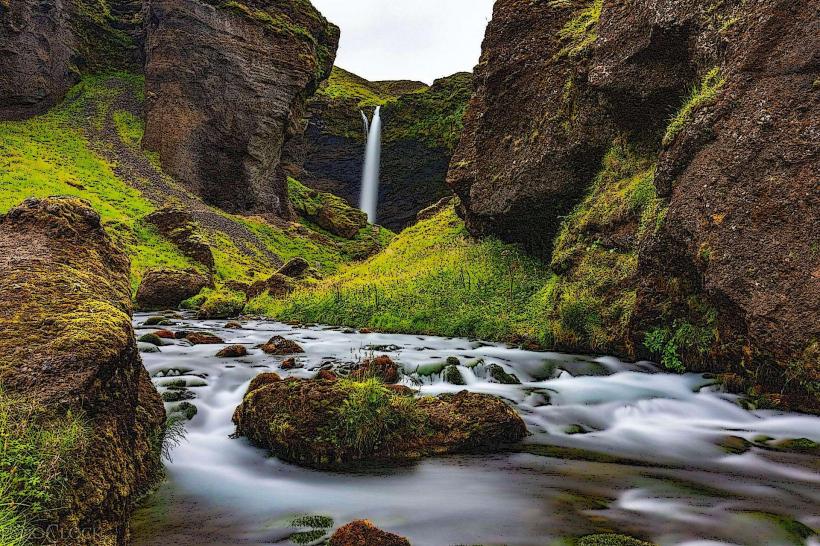
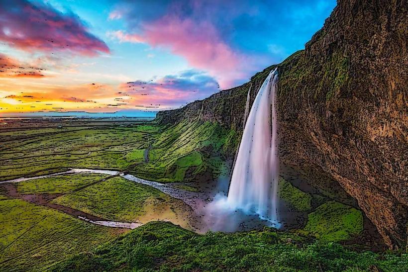
Nearby Landmarks
- Seljalandsfoss: 18km West
- Gljúfrabúi: 19km West
- Skógafoss: 12km East
- Thórsmörk Valley: 10km North