Information
Landmark: Sólheimajökull GlacierCity: Vik
Country: Iceland
Continent: Europe
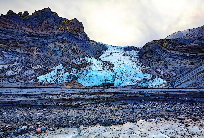
Sólheimajökull Glacier, Vik, Iceland, Europe
Sólheimajökull Glacier is an outlet glacier of the larger Mýrdalsjökull ice cap, situated in South Iceland. It is located approximately 25 kilometers west of the town of Vik.
Visual Characteristics
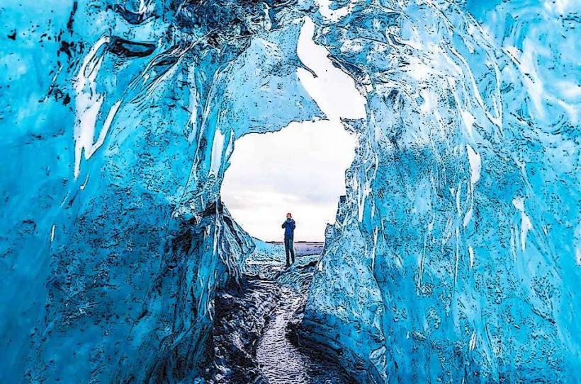
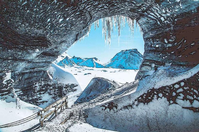
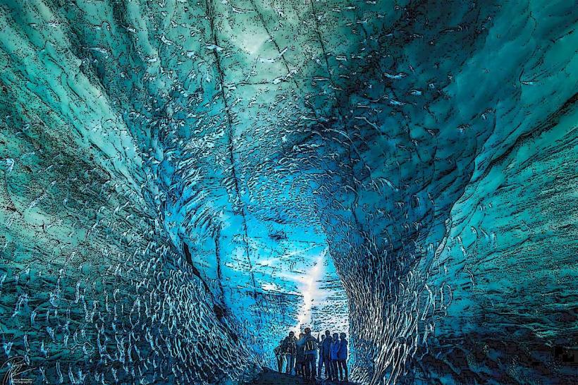
The glacier presents as a heavily crevassed tongue of ice, characterized by prominent dark ash layers embedded within its structure, originating from past volcanic eruptions. Deeper sections of the ice reveal a distinct blue hue. The glacier is actively receding, exposing a proglacial lagoon at its snout and a surrounding moraine landscape composed of gravel and rock debris.
Location & Access Logistics
Access to Sólheimajökull Glacier is via Road 221 (Sólheimajökulsvegur), which branches north from Route 1 (the Ring Road). From Vik, drive west on Route 1 for approximately 25 kilometers, then turn right onto Road 221 and continue for 4 kilometers to the designated parking area. From Reykjavík, drive east on Route 1 for approximately 160 kilometers before turning left onto Road 221. A large gravel parking lot is available at the end of Road 221. Public transport options are limited; no direct bus lines serve the glacier parking lot, requiring private vehicle or organized tour access.
Historical & Ecological Origin
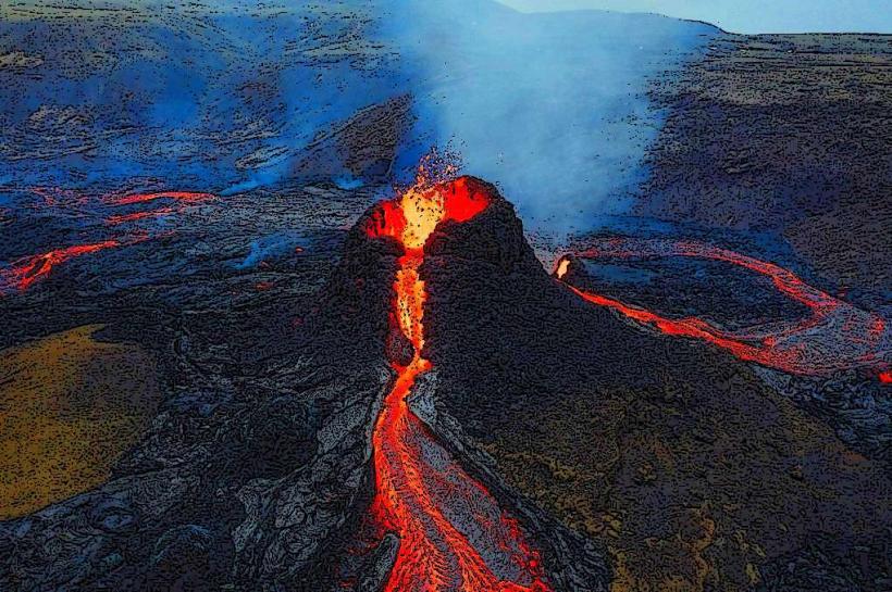
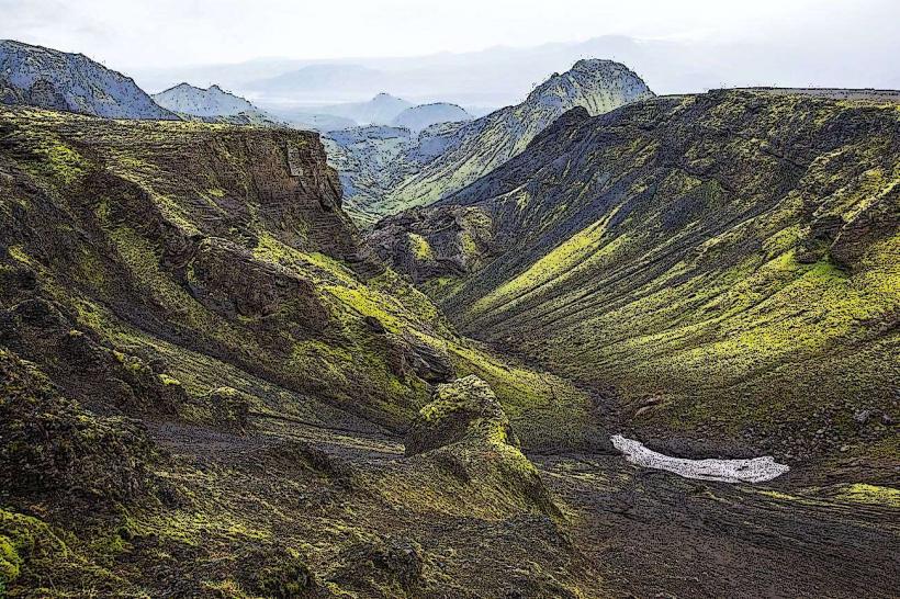
Sólheimajökull is an outlet glacier originating from the Mýrdalsjökull ice cap, which itself overlies the active subglacial volcano Katla. This geological formation is a remnant of the last glacial period, continuously shaped by the dynamics of ice flow, meltwater erosion, and the deposition of volcanic ash from eruptions beneath the ice cap.
Key Highlights & Activities
- Glacier hiking is available with certified guides, requiring specialized equipment.
- Ice climbing opportunities exist on specific ice formations, also requiring guided supervision.
- Walking to the edge of the glacier snout from the parking lot is possible via a marked path, taking approximately 15-20 minutes.
- Photography of the glacier's unique ice formations, crevasses, and meltwater features.
Infrastructure & Amenities
Restroom facilities are located at the main parking lot. The environment offers minimal natural shade due to its open glacial landscape. Cell phone signal, typically 4G/5G, is generally available in the parking area and immediate vicinity. A small cafe or food truck may operate near the parking lot during peak tourist seasons, but no permanent restaurant facilities are present.
Best Time to Visit
For photography, morning light between 9:00 and 11:00, or late afternoon between 16:00 and 18:00, provides softer illumination on the ice. The months of June through August offer the mildest weather conditions and extended daylight hours. Winter visits present unique ice formations but involve colder temperatures and significantly shorter daylight periods. Tidal conditions are not relevant for glacier visits.
Facts & Legends
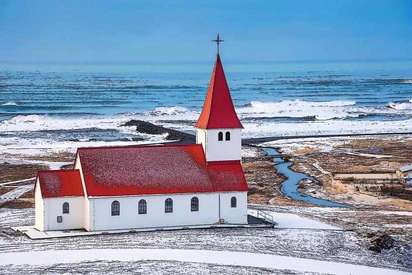
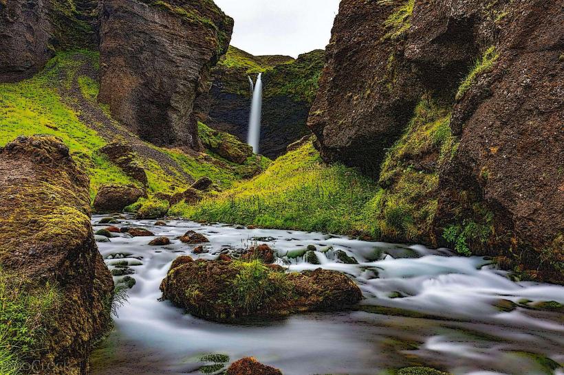
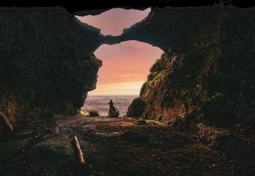
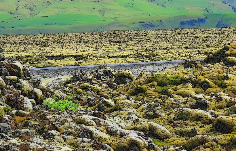
Sólheimajökull has experienced significant recession in recent decades, with visible markers indicating its past positions. This retreat serves as a clear indicator of climate change. The meltwater from the glacier forms the Jökulsá á Sólheimasandi river, which flows across the black sand plains towards the Atlantic Ocean.
Nearby Landmarks
- Sólheimajökull Lagoon: 0.1km South
- Jökulsá á Sólheimasandi River: 0.2km South
- Mýrdalsjökull Ice Cap: Directly North