Information
Landmark: Fimmvörðuháls PassCity: Vik
Country: Iceland
Continent: Europe
Fimmvörðuháls Pass, Vik, Iceland, Europe
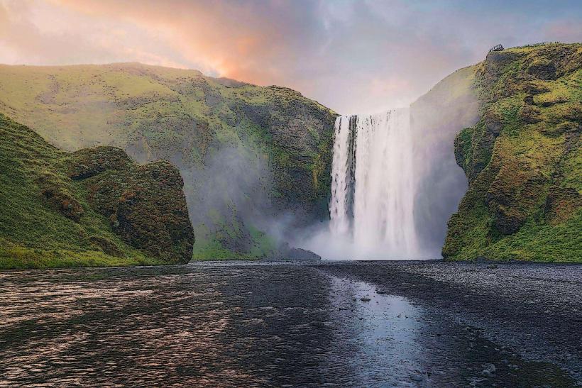
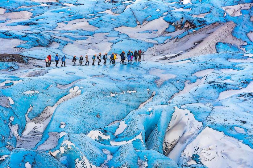
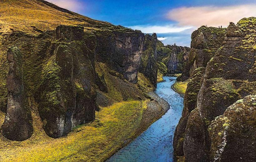
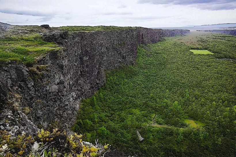
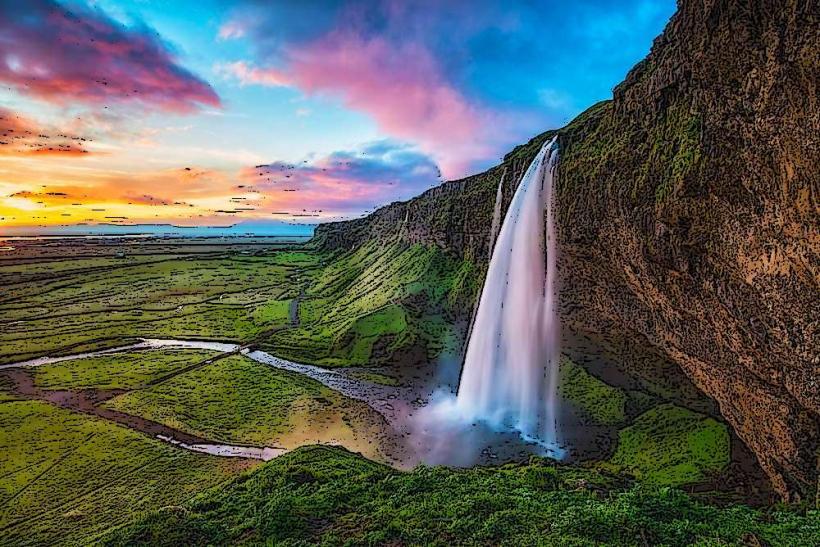
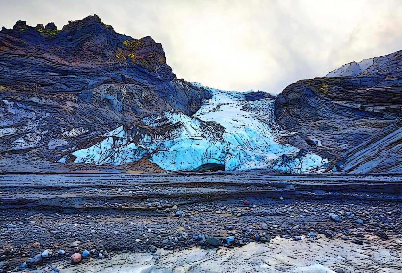
The Fimmvörðuháls Pass is a 25-kilometer mountain pass and hiking trail situated between the Eyjafjallajökull and Mýrdalsjökull glaciers in southern Iceland. It connects the waterfall Skógafoss with the valley of Þórsmörk, approximately 30 kilometers west of Vik.
Visual Characteristics
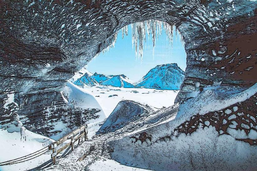
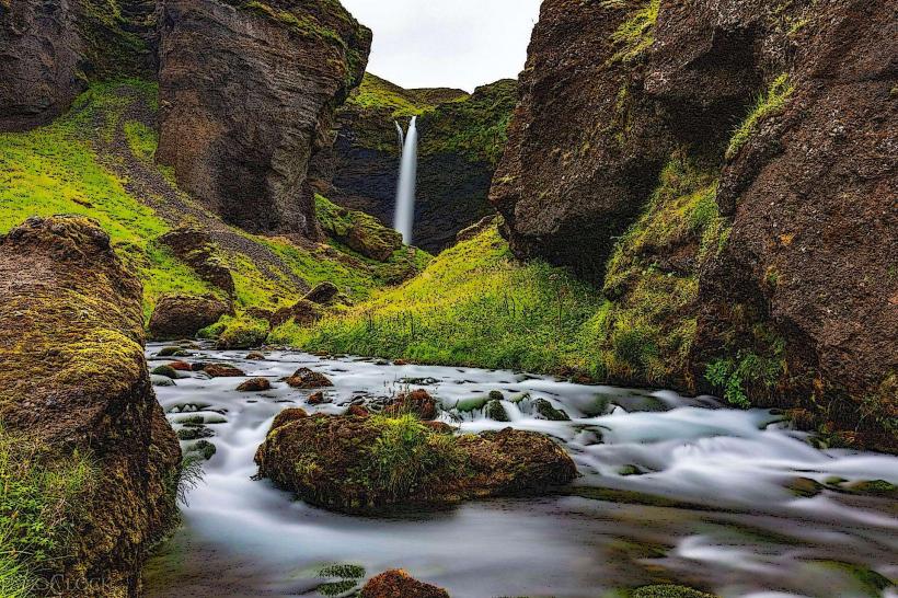
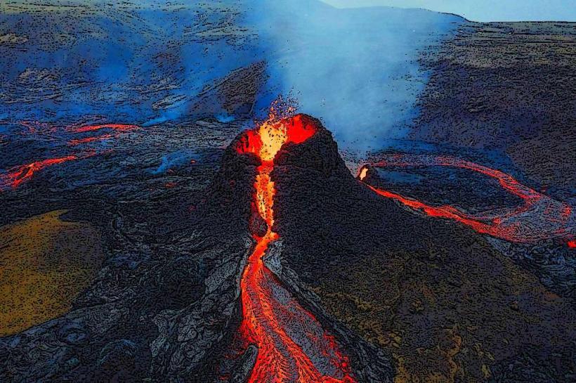
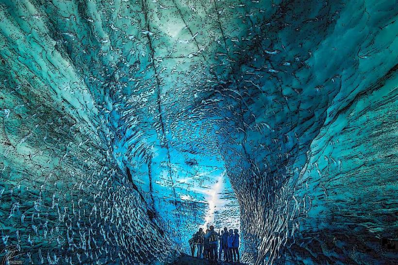
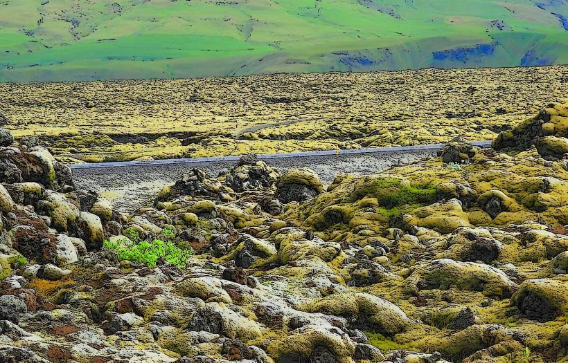
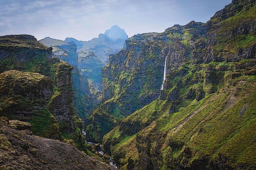
The pass features a diverse volcanic landscape, characterized by recent lava fields from the 2010 eruption, including the two new craters Magni and Móði. Terrain consists of black volcanic rock, ash, and sparse, low-lying vegetation. Snow patches persist year-round at higher elevations. The trail traverses glacial meltwater rivers and offers views of ice caps and numerous waterfalls, including the initial Skógafoss.
Location & Access Logistics
The primary access point for the Fimmvörðuháls Pass is from Skógar, located directly off Route 1 (the Ring Road). Skógar is approximately 30 kilometers west of Vik. A large parking area is available at the base of Skógafoss waterfall, where the trail begins. Public transport options include scheduled bus services that stop at Skógar during the summer months, connecting to larger towns. The northern end of the pass terminates in Þórsmörk, which requires specialized 4x4 bus transfers for exit.
Historical & Ecological Origin
The Fimmvörðuháls Pass is a geological formation shaped by millennia of glacial and volcanic activity. Its current landscape was significantly altered by the 2010 eruption of Eyjafjallajökull, which occurred directly within the pass. This event created new lava flows and the craters Magni and Móði, adding fresh volcanic rock formations to the existing terrain. The pass serves as a natural divide between two major ice caps.
Key Highlights & Activities
Hiking the Fimmvörðuháls trail is the primary activity, typically a 10-12 hour, 25-kilometer trek. Specific highlights include observing the recently formed Magni and Móði craters, traversing the new lava fields, and photographing the series of 26 waterfalls along the initial section from Skógar. Glacier views are prominent at higher altitudes.
Infrastructure & Amenities
Infrastructure along the Fimmvörðuháls Pass is minimal. There are no permanent restrooms or designated shade structures. A basic mountain hut, Baldvinsskáli, provides emergency shelter but offers no services or amenities. Cell phone signal (4G/5G) is intermittent and unreliable across the pass. No food vendors or water sources are available; hikers must carry all necessary supplies.
Best Time to Visit
The optimal period for visiting the Fimmvörðuháls Pass is during the summer months, from late June to early September, when snow cover is minimal and weather conditions are most stable. Early morning departures are recommended for hikers to ensure sufficient daylight for the entire 10-12 hour trek. The pass is generally inaccessible and dangerous outside this window due to heavy snow, ice, and severe weather.
Facts & Legends
The 2010 eruption at Fimmvörðuháls created two new craters, named Magni and Móði, after the sons of the Norse god Thor. The trail from Skógar to the pass ascends alongside the Skógá River, passing a documented 26 distinct waterfalls before reaching the higher volcanic plateau.
Nearby Landmarks
- Skógafoss: 0 km, at the start of the trail.
- Skógasafn (Skógar Museum): 0.5 km West.
- Kvernufoss: 1 km North-East.