Information
Landmark: Katla VolcanoCity: Vik
Country: Iceland
Continent: Europe
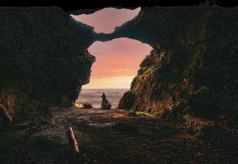
Katla Volcano, Vik, Iceland, Europe
Katla is a large, active subglacial volcano situated beneath the Mýrdalsjökull ice cap in southern Iceland. It is located approximately 20 kilometers north of the coastal town of Vik í Mýrdal.
Visual Characteristics
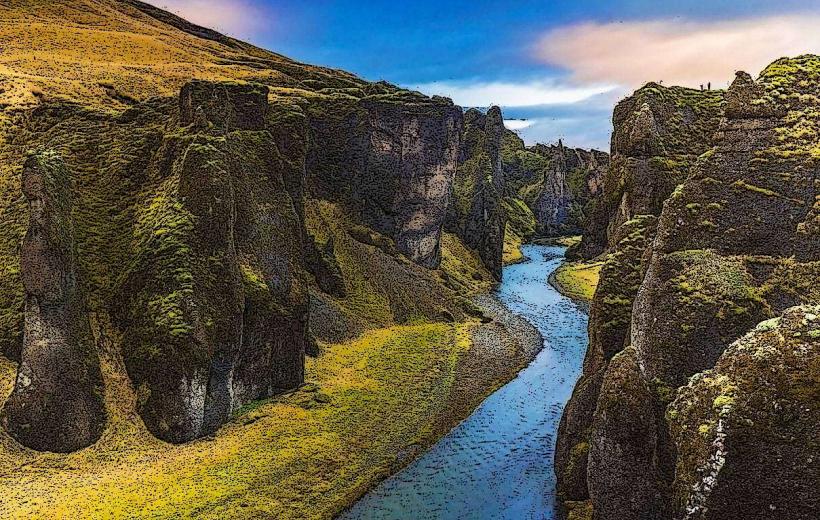
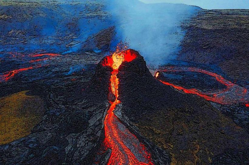
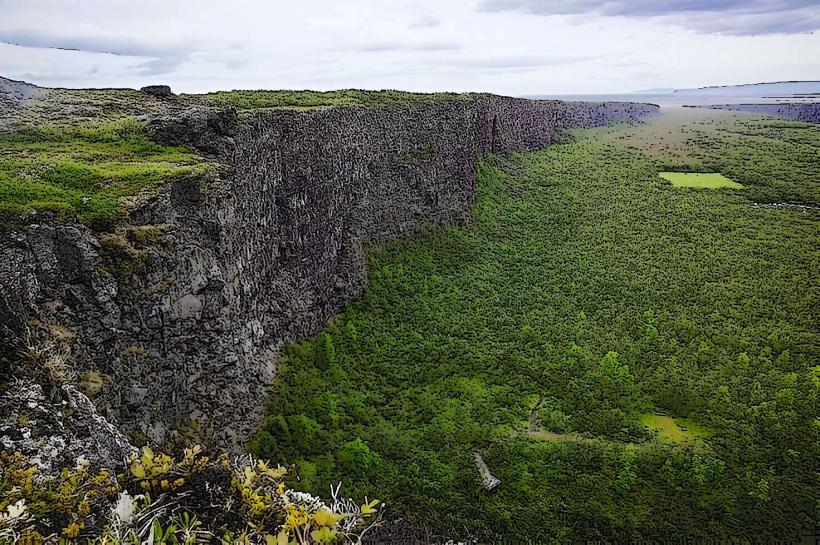
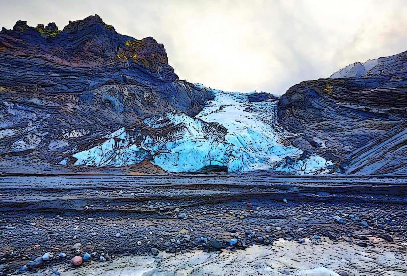
Katla is primarily defined by the Mýrdalsjökull ice cap, which completely covers its 10-kilometer-wide caldera. The ice cap presents a vast, undulating white surface, marked by crevasses and seracs. During eruptive phases, dark volcanic ash plumes can ascend thousands of meters, creating a stark contrast against the ice and sky. The underlying volcanic structure, including the caldera rim, is not directly visible due to the glacial cover.
Location & Access Logistics
The volcano is located north of Vik í Mýrdal. Access to the general area is via Iceland's Ring Road (Route 1). Direct access to the glacier and volcano requires traversing F-roads (mountain roads), such as F210 or F261, which are typically open only during the summer months (June to September) and necessitate a 4x4 vehicle. Parking is limited to designated areas near the start of glacier tours or specific trailheads. Public transportation does not serve the immediate volcanic area; guided super jeep or snowmobile tours departing from Vik or Reykjavík are the standard method of approach.
Historical & Ecological Origin
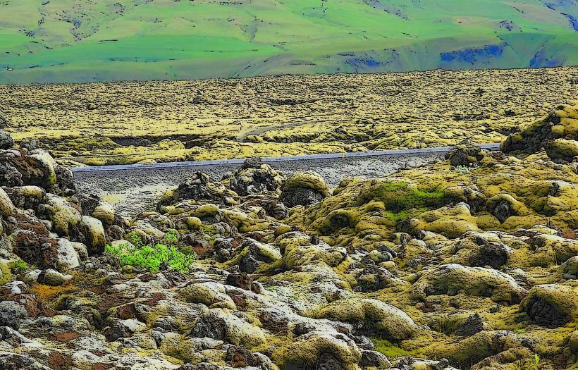
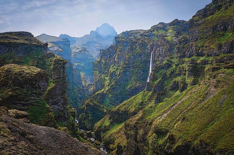
Katla is a central volcano within the East Volcanic Zone, formed by the divergent plate boundary between the North American and Eurasian tectonic plates. It is a stratovolcano characterized by a caldera, known for both effusive lava flows and explosive ash eruptions. Its subglacial position means eruptions frequently trigger large jökulhlaups (glacial outburst floods) as meltwater accumulates and then bursts from beneath the ice cap.
Key Highlights & Activities
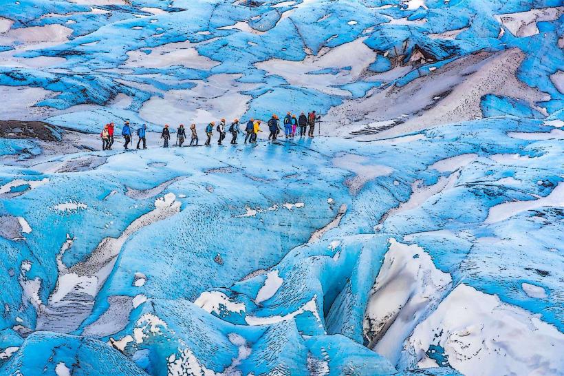
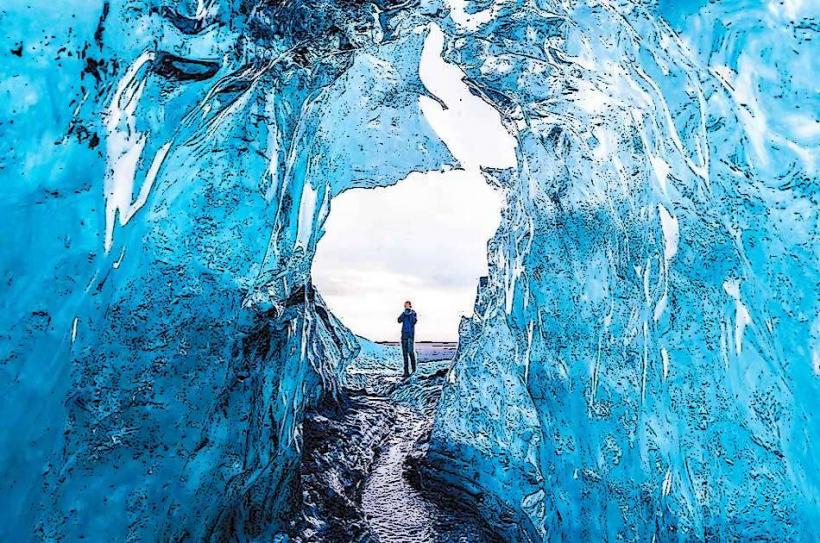
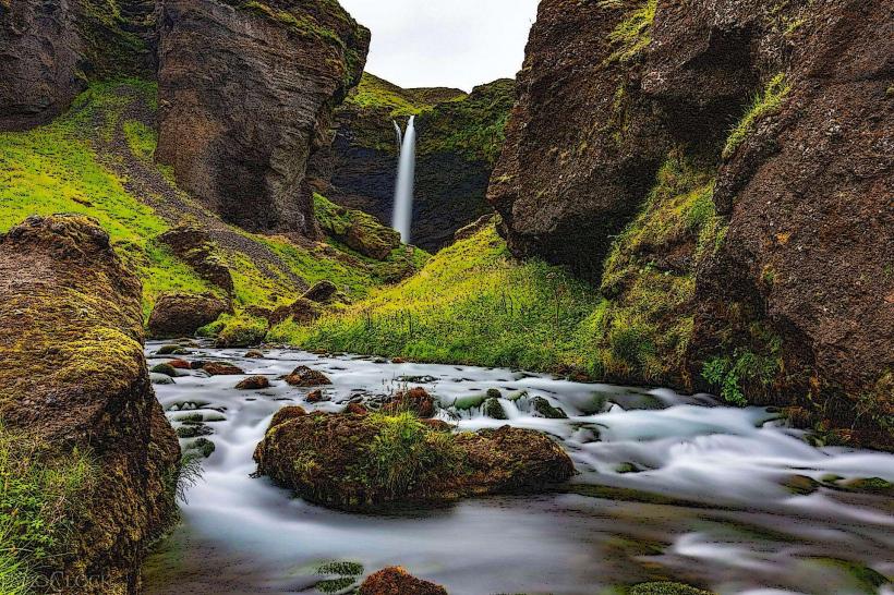
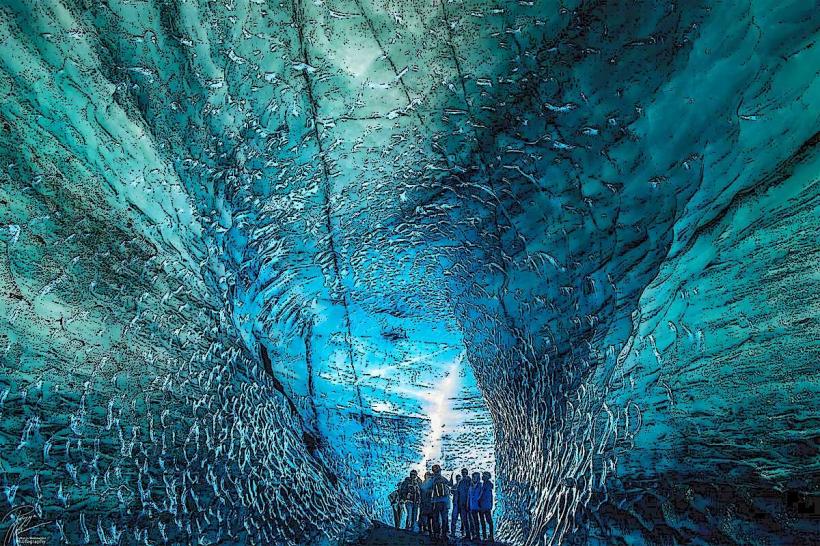
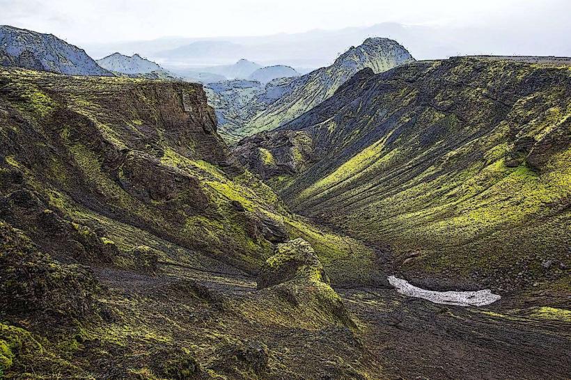
Activities in the Katla area include guided ice cave tours on the Kötlujökull glacier tongue, which allow exploration of ice formations and ancient ash layers. Snowmobiling and super jeep tours are available for traversing the glacier and reaching panoramic viewpoints. Hiking trails exist in the surrounding highlands during summer, offering perspectives of the glacier and the volcanic landscape.
Infrastructure & Amenities
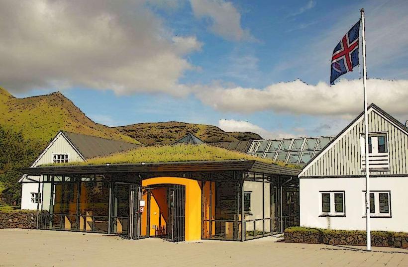
Direct infrastructure at the volcano is absent due to its remote and glacial environment. Restrooms and basic facilities are typically found at tour operator bases in Vik or along the main Ring Road. Natural shade is not available on the glacier. Cell phone signal (4G/5G) can be unreliable or non-existent on the glacier itself, though it is generally stable in Vik and along Route 1. Food vendors are not present; visitors must carry their own provisions.
Best Time to Visit
The optimal period for glacier tours and hiking is during the summer, from June to September, when F-roads are open and weather conditions are milder. Winter visits (October to May) are possible for ice cave tours, but require specialized equipment and guided expeditions due to severe weather and road closures. For photography, clear days with morning or late afternoon light enhance the definition of ice formations and the surrounding landscape.
Facts & Legends
Katla has historically erupted approximately every 40-80 years, with its last major eruption occurring in 1918. A local legend attributes the volcano's name to a powerful woman named Katla, who was said to be a housekeeper at a nearby monastery and possessed magical trousers that allowed her to run without tiring. A practical tip for visitors is to always consult the Icelandic Road and Coastal Administration for current weather and F-road conditions before planning any trip to the area, and to never venture onto the glacier without a certified guide.
Nearby Landmarks
- Katla Ice Cave: ~4km South-East
- Kötlujökull Glacier Tongue: ~3km South-East
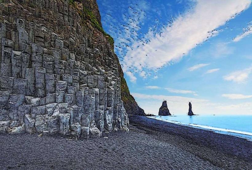
- Hafursey: ~2km South (from the southern edge of the Mýrdalsjökull Glacier)
- Entujökull Glacier Tongue: ~5km East