Information
Landmark: Seljalandsfoss WaterfallCity: Vik
Country: Iceland
Continent: Europe
Seljalandsfoss Waterfall, Vik, Iceland, Europe
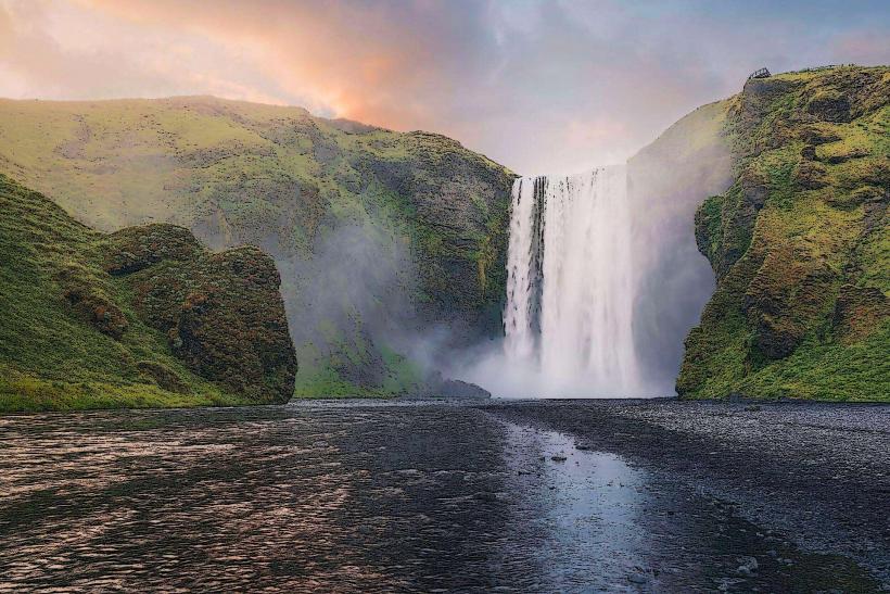
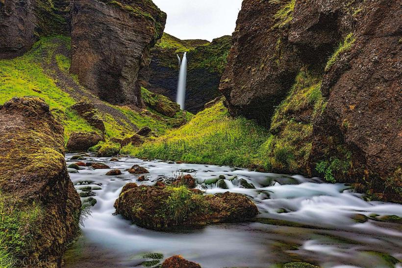
Seljalandsfoss is a prominent waterfall on the Seljalandsá River in South Region, Iceland. It is situated approximately 60 kilometers west of Vik.
Visual Characteristics
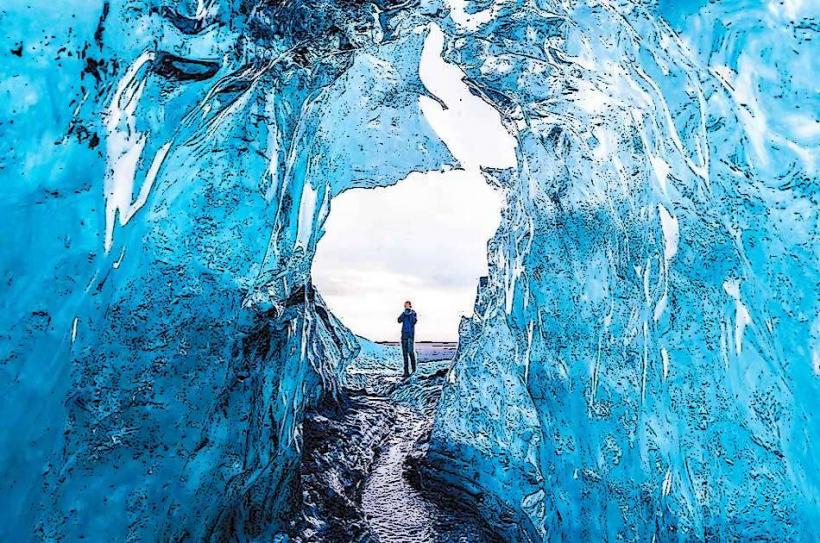
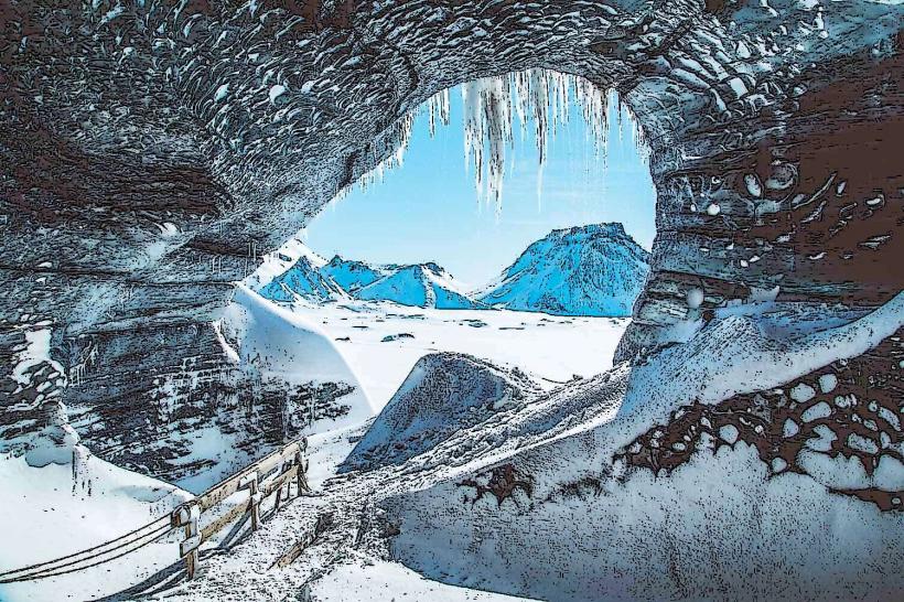
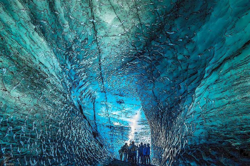
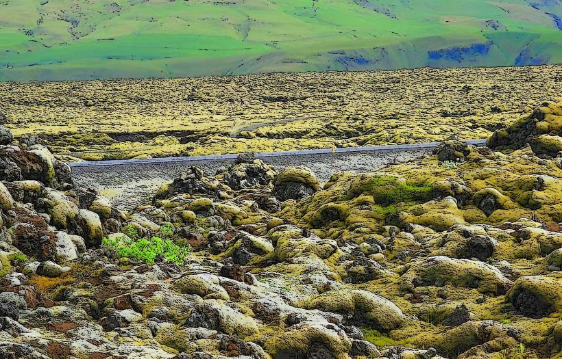
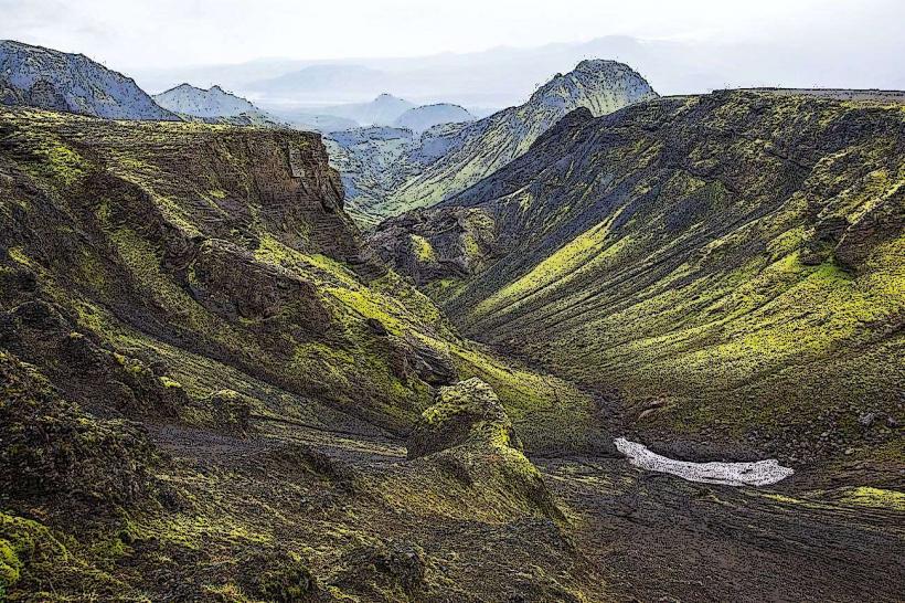
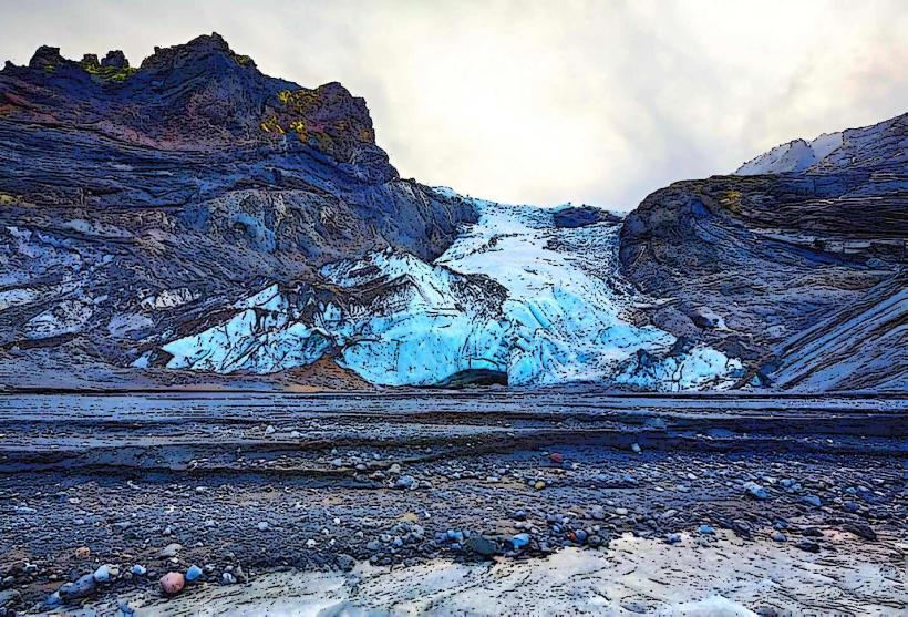
The waterfall descends 60 meters over a former sea cliff. Its water originates from the Eyjafjallajökull glacier. A natural cavern behind the water curtain allows for pedestrian passage. The surrounding terrain features green moss and grass during warmer months, transitioning to ice formations in winter.
Location & Access Logistics
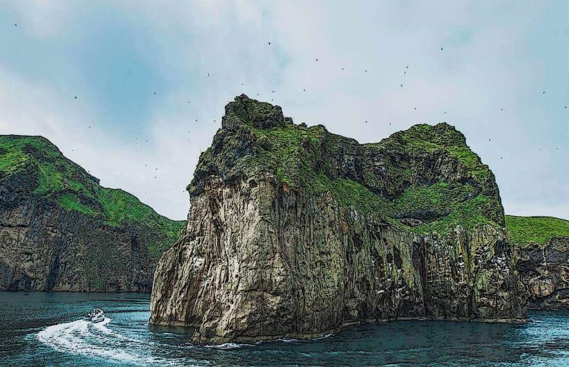
Seljalandsfoss is located directly adjacent to Iceland's Ring Road (Route 1). It is approximately 120 kilometers southeast of Reykjavík and 60 kilometers west of Vik. A designated parking area is available directly off Route 1. Public transport is limited; most visitors arrive by private vehicle or organized tour bus.
Historical & Ecological Origin
Seljalandsfoss is a natural geological formation. It formed as the Icelandic coastline receded over millennia, leaving the waterfall to plunge from what was once a sea cliff. The water source is glacial meltwater from Eyjafjallajökull.
Key Highlights & Activities
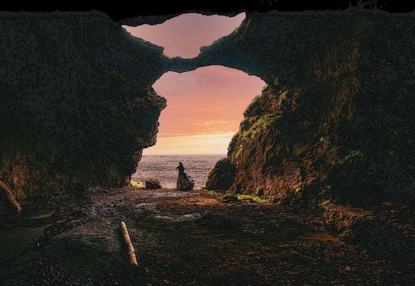
Walking behind the waterfall is possible via a maintained path that encircles the water curtain. Photography is a primary activity, particularly from the unique vantage point behind the falls. A short walking trail connects Seljalandsfoss to the nearby Gljúfrabúi waterfall.
Infrastructure & Amenities
Restroom facilities are available near the parking area. Limited natural shade is present. Cell phone signal (4G/5G) is generally reliable. A small kiosk selling snacks and beverages operates seasonally near the parking lot.
Best Time to Visit
The waterfall is accessible year-round. For optimal photography, late afternoon provides favorable lighting as the sun illuminates the water from the west. Summer months (June-August) offer the mildest weather and full access to the path behind the falls. Winter visits require caution due to ice accumulation.
Facts & Legends
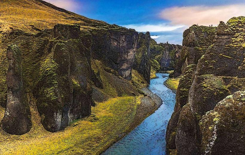
A specific tip for visitors is to locate the nearby Gljúfrabúi waterfall, which is partially concealed within a canyon. This waterfall offers a more secluded experience and is often less crowded than Seljalandsfoss.
Nearby Landmarks
- Gljúfrabúi Waterfall: 0.5km North
- Skógafoss Waterfall: 30km East
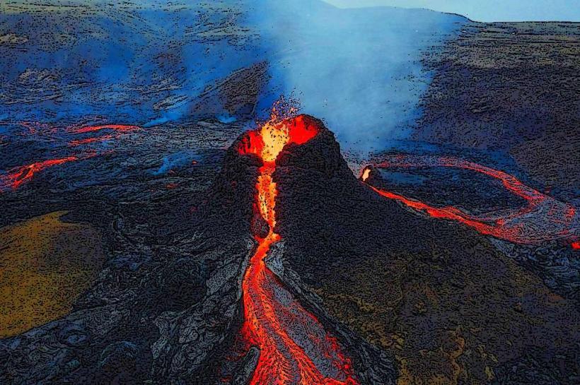
- Eyjafjallajökull Volcano: 15km North
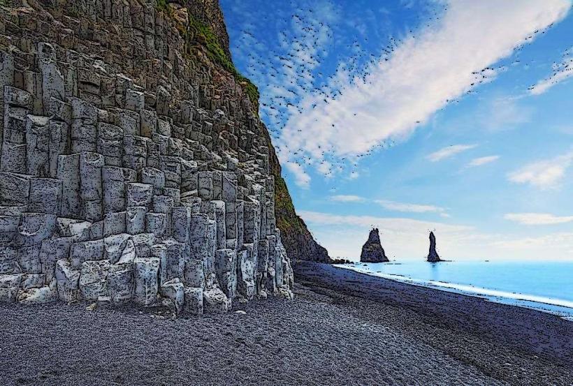
- Rútshellir Cave: 10km East